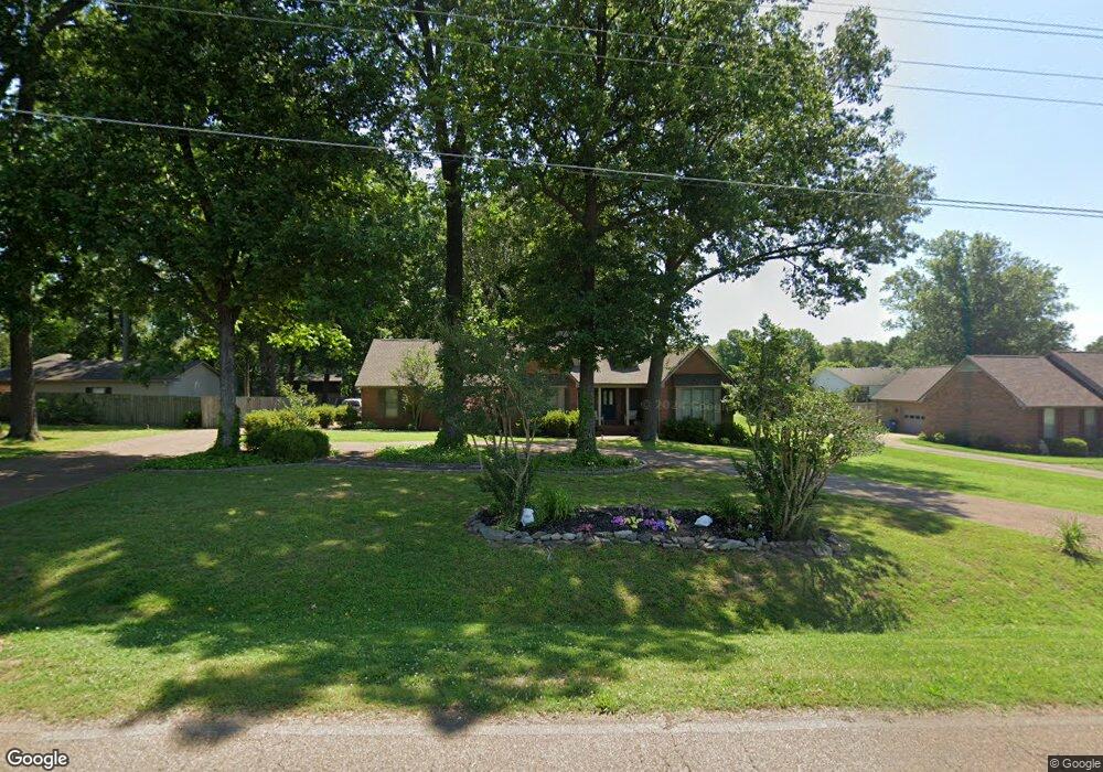
122 Parham Rd Martin, TN 38237
Estimated Value: $333,989 - $421,000
3
Beds
2
Baths
3,018
Sq Ft
$119/Sq Ft
Est. Value
About This Home
This home is located at 122 Parham Rd, Martin, TN 38237 and is currently estimated at $360,497, approximately $119 per square foot. 122 Parham Rd is a home located in Weakley County with nearby schools including Unity Christian School.
Ownership History
Date
Name
Owned For
Owner Type
Purchase Details
Closed on
Sep 14, 2015
Sold by
Byers Donna M
Bought by
Noe Daniel Justin and Noe Camille
Current Estimated Value
Home Financials for this Owner
Home Financials are based on the most recent Mortgage that was taken out on this home.
Original Mortgage
$166,250
Outstanding Balance
$130,845
Interest Rate
3.97%
Mortgage Type
New Conventional
Estimated Equity
$229,652
Purchase Details
Closed on
Jan 12, 2010
Bought by
Byers Donna M
Purchase Details
Closed on
Jan 12, 2009
Sold by
Butler Wilma Joan
Bought by
Byers Donna M
Purchase Details
Closed on
Jun 30, 1993
Bought by
Fuller T R And Christopher Fuller Partners
Create a Home Valuation Report for This Property
The Home Valuation Report is an in-depth analysis detailing your home's value as well as a comparison with similar homes in the area
Home Values in the Area
Average Home Value in this Area
Purchase History
| Date | Buyer | Sale Price | Title Company |
|---|---|---|---|
| Noe Daniel Justin | $175,000 | -- | |
| Byers Donna M | $195,000 | -- | |
| Byers Donna M | $195,000 | -- | |
| Fuller T R And Christopher Fuller Partners | $100,000 | -- |
Source: Public Records
Mortgage History
| Date | Status | Borrower | Loan Amount |
|---|---|---|---|
| Open | Noe Daniel Justin | $166,250 |
Source: Public Records
Tax History Compared to Growth
Tax History
| Year | Tax Paid | Tax Assessment Tax Assessment Total Assessment is a certain percentage of the fair market value that is determined by local assessors to be the total taxable value of land and additions on the property. | Land | Improvement |
|---|---|---|---|---|
| 2024 | -- | $76,425 | $6,250 | $70,175 |
| 2023 | $2,306 | $76,425 | $6,250 | $70,175 |
| 2022 | $1,734 | $46,525 | $4,200 | $42,325 |
| 2021 | $1,734 | $46,525 | $4,200 | $42,325 |
| 2020 | $1,734 | $46,525 | $4,200 | $42,325 |
| 2019 | $1,571 | $46,525 | $4,200 | $42,325 |
| 2018 | $1,571 | $46,525 | $4,200 | $42,325 |
| 2017 | $1,712 | $47,125 | $3,500 | $43,625 |
| 2016 | $1,712 | $47,125 | $0 | $0 |
| 2015 | $1,712 | $47,127 | $0 | $0 |
| 2014 | $1,760 | $48,451 | $0 | $0 |
Source: Public Records
Map
Nearby Homes
- 1217 Hyndsver Rd
- 112 Landrum Dr
- 120 Shadow Wood Cove
- 141 Oak St
- 0 Hamilton Dr
- 1210 K St
- 1404 K St
- 208 Ellis St
- 0 Fulton St
- 405 K St
- 2001 Hyndsver Rd
- 146 Maywood Dr
- 0 N Mccombs St Unit RRA43575
- 308 Woodland St
- 416 N Mccombs St
- 0 E Main St
- 102 Virginia St
- 0 N Lindell St Unit RRA38831
- 0 N Lindell St Unit 176005
- 0 N Lindell St Unit RRA45211
- 118 Parham Rd
- 126 Parham Rd
- 116 Ruddy Oak Dr
- 106 Woodfield Rise
- 114 Parham Rd
- 118 Woodfield Rise
- 128 Ruddy Oak Dr
- 121 Ruddy Oak Dr
- 113 Ruddy Oak Dr
- 112 Parham Rd
- 121 Woodfield Rise
- 111 Woodfield Rise
- 107 Woodfield Rise
- 117 Ruddy Oak Dr
- 117 Ruddy Oak Dr Unit 121 Ruddy Oak
- 117 Woodfield Rise
- 128 Parham Rd
- 103 Woodfield Rise
- 1215 Hyndsver Rd
- 125 Landrum Dr