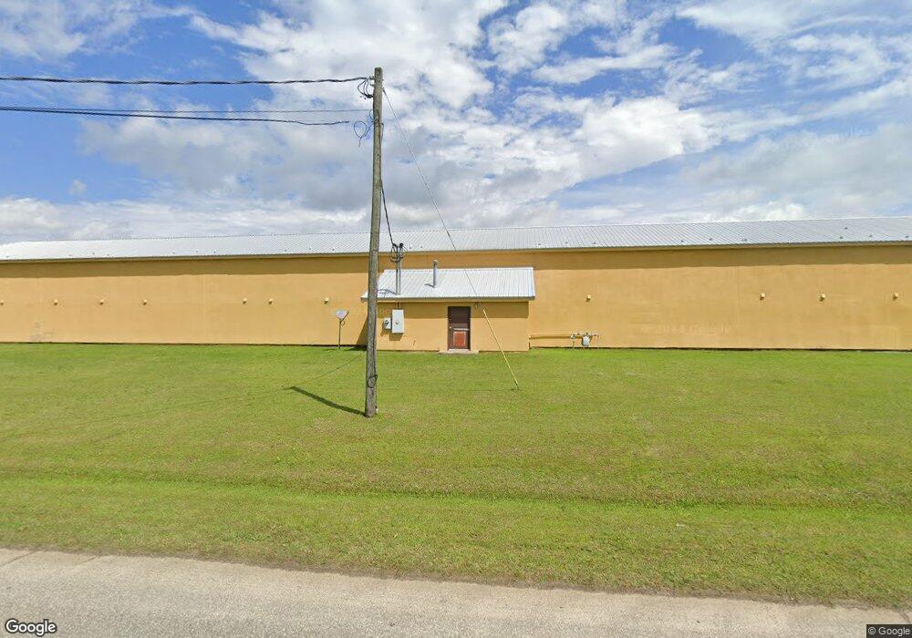
122 Progress Ave Pelham, GA 31779
Estimated Value: $1,311,004
Studio
34
Baths
10,644
Sq Ft
$123/Sq Ft
Est. Value
About This Home
This home is located at 122 Progress Ave, Pelham, GA 31779 and is currently estimated at $1,311,004, approximately $123 per square foot. 122 Progress Ave is a home located in Mitchell County with nearby schools including Pelham Elementary School, Pelham City Middle School, and Pelham High School.
Ownership History
Date
Name
Owned For
Owner Type
Purchase Details
Closed on
Sep 18, 2023
Sold by
Sangi Llc
Bought by
Ggp Hotel Llc
Current Estimated Value
Purchase Details
Closed on
Feb 26, 2016
Sold by
Us Bank National Associati
Bought by
Sangi Llc
Home Financials for this Owner
Home Financials are based on the most recent Mortgage that was taken out on this home.
Original Mortgage
$300,000
Interest Rate
3.79%
Mortgage Type
Commercial
Purchase Details
Closed on
Sep 1, 2015
Sold by
Patel Pranv C
Bought by
American Business Lending Inc
Create a Home Valuation Report for This Property
The Home Valuation Report is an in-depth analysis detailing your home's value as well as a comparison with similar homes in the area
Home Values in the Area
Average Home Value in this Area
Purchase History
| Date | Buyer | Sale Price | Title Company |
|---|---|---|---|
| Ggp Hotel Llc | $1,300,000 | -- | |
| Sangi Llc | $250,000 | -- | |
| American Business Lending Inc | $375,000 | -- |
Source: Public Records
Mortgage History
| Date | Status | Borrower | Loan Amount |
|---|---|---|---|
| Previous Owner | Sangi Llc | $300,000 |
Source: Public Records
Tax History
| Year | Tax Paid | Tax Assessment Tax Assessment Total Assessment is a certain percentage of the fair market value that is determined by local assessors to be the total taxable value of land and additions on the property. | Land | Improvement |
|---|---|---|---|---|
| 2024 | $9,467 | $216,880 | $11,760 | $205,120 |
| 2023 | $9,619 | $216,880 | $11,760 | $205,120 |
| 2022 | $9,619 | $216,880 | $11,760 | $205,120 |
| 2021 | $9,619 | $216,880 | $11,760 | $205,120 |
| 2020 | $9,239 | $216,880 | $11,760 | $205,120 |
| 2019 | $9,433 | $216,880 | $11,760 | $205,120 |
| 2018 | $11,829 | $261,637 | $10,695 | $250,942 |
| 2017 | $1,967 | $261,637 | $10,695 | $250,942 |
| 2016 | $5,348 | $261,638 | $10,695 | $250,942 |
| 2015 | $5,348 | $261,638 | $10,695 | $250,942 |
| 2014 | $5,348 | $261,638 | $10,695 | $250,942 |
| 2013 | $5,348 | $261,637 | $10,695 | $250,942 |
Source: Public Records
Map
Nearby Homes
- 482 Curry St NE
- 335 Curry St NE
- 323 Curry St NE
- 438 Dogwood Dr NE
- 0 Old Ga Hwy 3
- 311 Tennyson St NE
- 199 Carroll St NE
- 375 Baggs Ave SE
- 158 Hand Ave W
- 210 Castleberry St NW
- 233 Cannon St NW
- 212 Hand Ave W
- 209 McDonald St SW
- 354 Bennett St NW
- 3** Youngs Mill Rd
- 589 Liberia St NW
- 00 Georgia 93
- 653 Liberia St NW
- 267 Saunders St SW
- 277 Saunders St SW
- 0 Pride St
- 204 Progress Ave
- 340 Williams St NE
- 322 John Collins Rd NE
- 232 Blanton St NE
- 312 Williams St NE
- 339 Williams St NE
- 269 Blanton St NE
- 547 Dogwood Dr NE
- 540 Dogwood Dr NE
- 255 Blanton St NE
- 320 Williams St NE
- 319 Williams St NE
- 190 Blanton St NE
- 302 Williams St NE
- 760 John Collins Rd
- LOT 10 Williams St NE
- LOT 8 Williams St NE
- 0 Williams St NE
- 6 Lots Williams St NE