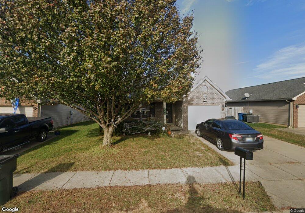
122 Ransom Trace Georgetown, KY 40324
Bradford Place NeighborhoodEstimated Value: $249,000 - $270,000
3
Beds
2
Baths
1,269
Sq Ft
$205/Sq Ft
Est. Value
About This Home
This home is located at 122 Ransom Trace, Georgetown, KY 40324 and is currently estimated at $260,465, approximately $205 per square foot. 122 Ransom Trace is a home located in Scott County with nearby schools including Southern Elementary School, Georgetown Middle School, and Scott County High School.
Ownership History
Date
Name
Owned For
Owner Type
Purchase Details
Closed on
Mar 3, 2006
Sold by
Ball Homes Llc
Bought by
Mitchell Clarence Leon and Mitchell Betty
Current Estimated Value
Home Financials for this Owner
Home Financials are based on the most recent Mortgage that was taken out on this home.
Original Mortgage
$93,112
Interest Rate
5.66%
Mortgage Type
New Conventional
Create a Home Valuation Report for This Property
The Home Valuation Report is an in-depth analysis detailing your home's value as well as a comparison with similar homes in the area
Home Values in the Area
Average Home Value in this Area
Purchase History
| Date | Buyer | Sale Price | Title Company |
|---|---|---|---|
| Mitchell Clarence Leon | $116,390 | None Available |
Source: Public Records
Mortgage History
| Date | Status | Borrower | Loan Amount |
|---|---|---|---|
| Previous Owner | Mitchell Clarence Leon | $93,112 |
Source: Public Records
Tax History
| Year | Tax Paid | Tax Assessment Tax Assessment Total Assessment is a certain percentage of the fair market value that is determined by local assessors to be the total taxable value of land and additions on the property. | Land | Improvement |
|---|---|---|---|---|
| 2025 | $1,787 | $200,600 | $0 | $0 |
| 2024 | $1,748 | $194,400 | $0 | $0 |
| 2023 | $1,672 | $184,400 | $35,000 | $149,400 |
| 2022 | $1,406 | $165,400 | $30,000 | $135,400 |
| 2021 | $1,451 | $154,000 | $30,000 | $124,000 |
| 2020 | $1,214 | $141,300 | $30,000 | $111,300 |
| 2019 | $1,185 | $135,800 | $0 | $0 |
| 2018 | $1,139 | $131,300 | $0 | $0 |
| 2017 | $1,096 | $125,640 | $0 | $0 |
| 2016 | $986 | $122,400 | $0 | $0 |
| 2015 | $979 | $122,400 | $0 | $0 |
| 2014 | $1,015 | $122,400 | $0 | $0 |
| 2011 | $78 | $126,414 | $0 | $0 |
Source: Public Records
Map
Nearby Homes
- 106 Ransom Trace
- 115 Victor Place
- 134 Hemingway Place
- 118 Chamberlain Dr
- 113 Walden Cove Unit 3I
- 1026 Parkside Dr
- 106 Capella Way
- 1003 Parkside Dr
- 138 Magellan Ln
- 140 Magellan Ln
- 144 Magellan Ln
- 152 Magellan Ln
- 100 Hemingway Ct
- 105 Crescent Way
- 111 Crescent Way
- 113 Crescent Way
- 159 Irving Ln
- 117 Crescent Way
- 109 Crescent Way
- 119 Crescent Way
- 124 Ransom Trace
- 120 Ransom Trace
- 118 Ransom Trace
- 126 Ransom Trace
- 100 Wharton Ct
- 116 Ransom Trace
- 119 Ransom Trace
- 117 Lovett Park
- 115 Lovett Park
- 117 Ransom Trace
- 128 Ransom Trace
- 113 Lovett Park
- 119 Lovett Park
- 111 Lovett Park
- 121 Lovett Park
- 130 Ransom Trace
- 114 Ransom Trace
- 101 Wharton Ct
- 123 Lovett Park
- 109 Lovett Park
Your Personal Tour Guide
Ask me questions while you tour the home.