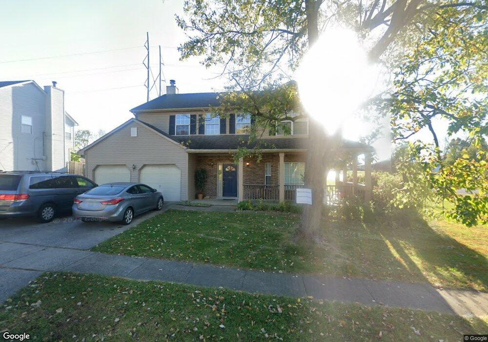
122 Redding Rd Georgetown, KY 40324
South Scott County NeighborhoodEstimated Value: $345,419 - $371,000
--
Bed
--
Bath
2,288
Sq Ft
$157/Sq Ft
Est. Value
About This Home
This home is located at 122 Redding Rd, Georgetown, KY 40324 and is currently estimated at $358,855, approximately $156 per square foot. 122 Redding Rd is a home located in Scott County with nearby schools including Southern Elementary School, Creekside Elementary School, and Georgetown Middle School.
Ownership History
Date
Name
Owned For
Owner Type
Purchase Details
Closed on
Oct 30, 2020
Sold by
Cyrus Jack D
Bought by
Spagnoli Antonio R
Current Estimated Value
Home Financials for this Owner
Home Financials are based on the most recent Mortgage that was taken out on this home.
Original Mortgage
$180,000
Outstanding Balance
$160,462
Interest Rate
2.9%
Mortgage Type
New Conventional
Estimated Equity
$198,393
Create a Home Valuation Report for This Property
The Home Valuation Report is an in-depth analysis detailing your home's value as well as a comparison with similar homes in the area
Home Values in the Area
Average Home Value in this Area
Purchase History
| Date | Buyer | Sale Price | Title Company |
|---|---|---|---|
| Spagnoli Antonio R | $225,000 | None Available |
Source: Public Records
Mortgage History
| Date | Status | Borrower | Loan Amount |
|---|---|---|---|
| Open | Spagnoli Antonio R | $180,000 |
Source: Public Records
Tax History Compared to Growth
Tax History
| Year | Tax Paid | Tax Assessment Tax Assessment Total Assessment is a certain percentage of the fair market value that is determined by local assessors to be the total taxable value of land and additions on the property. | Land | Improvement |
|---|---|---|---|---|
| 2024 | $2,507 | $278,800 | $0 | $0 |
| 2023 | $2,383 | $262,800 | $40,000 | $222,800 |
| 2022 | $1,939 | $228,000 | $35,000 | $193,000 |
| 2021 | $2,120 | $225,000 | $35,000 | $190,000 |
| 2020 | $1,723 | $200,600 | $35,000 | $165,600 |
| 2019 | $1,711 | $196,000 | $0 | $0 |
| 2018 | $1,601 | $184,500 | $0 | $0 |
| 2017 | $1,532 | $175,700 | $0 | $0 |
| 2016 | $1,415 | $175,700 | $0 | $0 |
| 2015 | $1,406 | $175,700 | $0 | $0 |
| 2014 | $1,457 | $175,704 | $0 | $0 |
| 2011 | $109 | $175,704 | $0 | $0 |
Source: Public Records
Map
Nearby Homes
- 1108 Beth Ct
- 115 Hutchins Dr
- 104 Copper Kettle Path
- 1215 Seminole Trail
- 126 Copper Kettle Path
- 500 Hiawatha Trail
- 235 Ransom Trace
- 247 W Showalter Dr
- 1115 Apache Trail
- 106 Stapleton Way
- 900 Shoshoni Trail
- 129 Irving Ln
- 301 Aztec Trail
- 217 Atwood Dr
- 212 Pocahontas Trail
- 180 Hillside Dr
- 127 Anne Jennings
- 198 Hiawatha Trail
- 1117 Pawnee Trail
- 110 Lovett Park Ln
- 120 Redding Rd
- 118 Redding Rd
- 121 Redding Rd
- 123 Redding Rd
- 119 Redding Rd
- 200 Redding Rd
- 700 Pocahontas Trail
- 202 Redding Rd
- 703 Pocahontas Trail
- 116 Redding Rd
- 1121 Choctaw Trail
- 115 Redding Rd
- 211 Hutchins Dr
- 600 Pocahontas Trail
- 1119 Choctaw Trail
- 702 Pocahontas Trail
- 113 Redding Rd
- 705 Pocahontas Trail
- 209 Hutchins Dr
- 114 Redding Rd