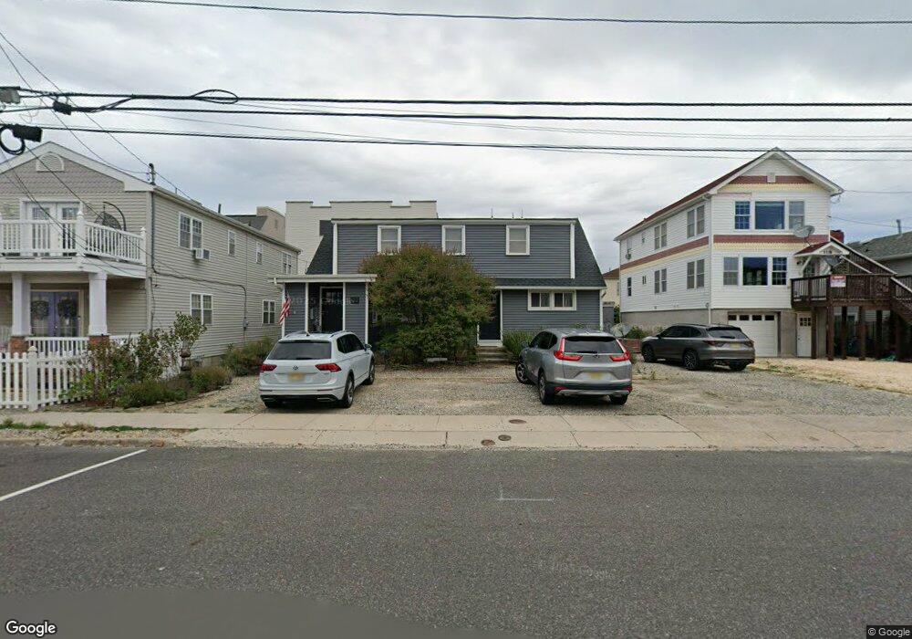
122 Sampson Ave Seaside Heights, NJ 08751
Estimated Value: $765,444 - $1,297,000
--
Bed
4
Baths
2,400
Sq Ft
$428/Sq Ft
Est. Value
About This Home
This home is located at 122 Sampson Ave, Seaside Heights, NJ 08751 and is currently estimated at $1,027,611, approximately $428 per square foot. 122 Sampson Ave is a home located in Ocean County with nearby schools including Hugh J. Boyd Jr. Elementary School, Central Regional Middle School, and Central Regional High School.
Ownership History
Date
Name
Owned For
Owner Type
Purchase Details
Closed on
Dec 23, 2008
Sold by
Sieling Earl M
Bought by
Sieling Sherri R
Current Estimated Value
Purchase Details
Closed on
Dec 14, 1998
Sold by
Karcich Angelina
Bought by
Sieling Sherri R
Home Financials for this Owner
Home Financials are based on the most recent Mortgage that was taken out on this home.
Original Mortgage
$104,000
Outstanding Balance
$23,766
Interest Rate
6.85%
Estimated Equity
$1,003,845
Create a Home Valuation Report for This Property
The Home Valuation Report is an in-depth analysis detailing your home's value as well as a comparison with similar homes in the area
Home Values in the Area
Average Home Value in this Area
Purchase History
| Date | Buyer | Sale Price | Title Company |
|---|---|---|---|
| Sieling Sherri R | -- | None Available | |
| Sieling Sherri R | $110,000 | -- |
Source: Public Records
Mortgage History
| Date | Status | Borrower | Loan Amount |
|---|---|---|---|
| Open | Sieling Sherri R | $104,000 |
Source: Public Records
Tax History Compared to Growth
Tax History
| Year | Tax Paid | Tax Assessment Tax Assessment Total Assessment is a certain percentage of the fair market value that is determined by local assessors to be the total taxable value of land and additions on the property. | Land | Improvement |
|---|---|---|---|---|
| 2025 | $9,233 | $931,700 | $725,200 | $206,500 |
| 2024 | $8,569 | $325,800 | $206,300 | $119,500 |
| 2023 | $8,148 | $325,800 | $206,300 | $119,500 |
| 2022 | $8,148 | $325,800 | $206,300 | $119,500 |
| 2021 | $7,884 | $325,800 | $206,300 | $119,500 |
| 2020 | $7,910 | $325,800 | $206,300 | $119,500 |
| 2019 | $7,673 | $325,800 | $206,300 | $119,500 |
| 2018 | $7,471 | $325,800 | $206,300 | $119,500 |
| 2017 | $7,331 | $325,800 | $206,300 | $119,500 |
| 2016 | $7,019 | $317,300 | $206,300 | $111,000 |
| 2015 | $6,774 | $317,300 | $206,300 | $111,000 |
| 2014 | $6,203 | $317,300 | $206,300 | $111,000 |
Source: Public Records
Map
Nearby Homes
- 118 Sampson Ave
- 1501 Central
- 1515 Boulevard Unit 4
- 1515 Boulevard Unit 24
- 1601 Boulevard Unit B7
- 217 Hiering Ave Unit 3
- 57 Hiering Ave
- 112 Kearney Ave
- 51 Sampson Ave
- 245 Sampson Ave
- 45 Sampson Ave Unit 5
- 211 Kearney Ave
- 53 Carteret Ave
- 1215 Boulevard
- 122 Fremont Ave
- 1201 Ocean Blvd
- 202 Fremont Ave Unit 1
- 52 Kearney Ave
- 229 Kearney Ave Unit 2
- 307 Sampson Ave
- 126 Sampson Ave
- 118 Sampson Ave Unit Lower
- 114 Sampson Ave
- 35 Sampson Ave
- 128 Sampson Ave
- 119 Hiering Ave
- 123 Hiering Ave Unit 1
- 123 Hiering Ave Unit 2
- 123 Hiering Ave Unit 3
- 110 Sampson Ave
- 113 Hiering Ave
- 132 Sampson Ave Unit 34
- 132 Sampson Ave Unit 34
- 132 Sampson Ave Unit 34
- 132 Sampson Ave Unit 34
- 132 Sampson Ave Unit 34
- 132 Sampson Ave Unit 34
- 132 Sampson Ave Unit A5
- 132 Sampson Ave Unit 4
- 132 Sampson Ave Unit A2