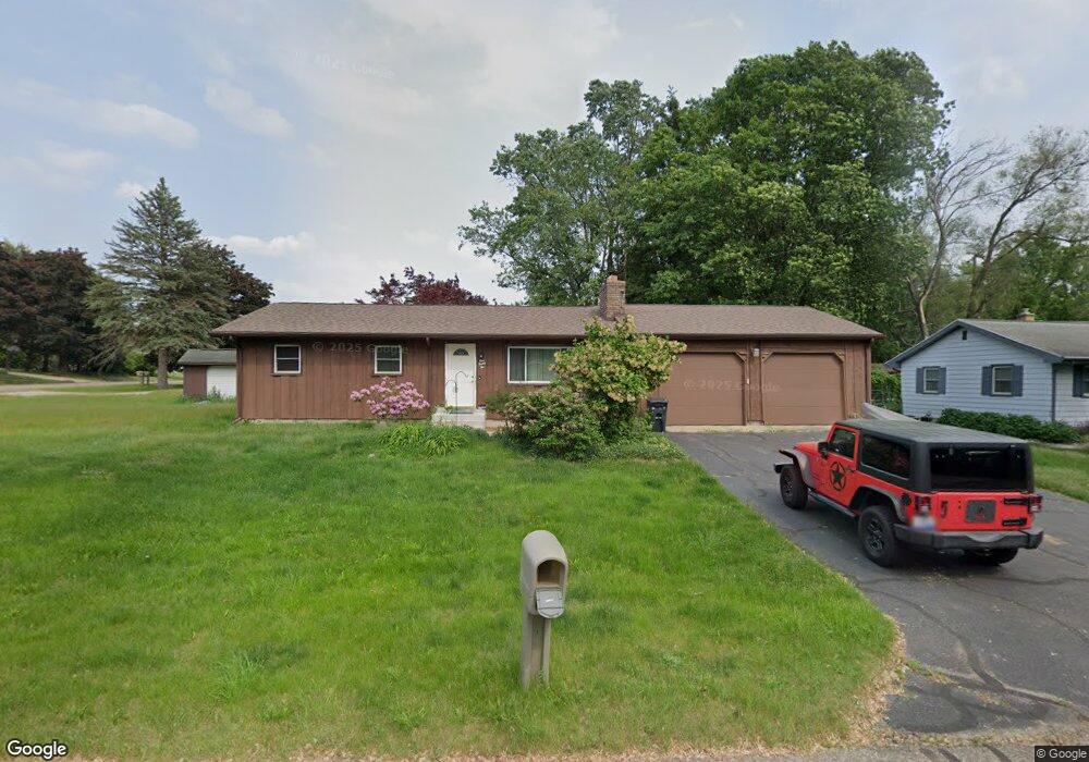
122 Summit Dr Battle Creek, MI 49015
Minges Brook Riverside NeighborhoodEstimated Value: $195,000 - $224,000
3
Beds
1
Bath
1,202
Sq Ft
$172/Sq Ft
Est. Value
About This Home
This home is located at 122 Summit Dr, Battle Creek, MI 49015 and is currently estimated at $206,961, approximately $172 per square foot. 122 Summit Dr is a home located in Calhoun County with nearby schools including Lakeview Middle School, Lakeview High School, and Crosscreek Christian School.
Ownership History
Date
Name
Owned For
Owner Type
Purchase Details
Closed on
Jun 12, 2003
Sold by
Flowers Warren
Bought by
Flowers Warren and Flowers Jennifer Huliganga
Current Estimated Value
Home Financials for this Owner
Home Financials are based on the most recent Mortgage that was taken out on this home.
Original Mortgage
$105,550
Interest Rate
6.01%
Mortgage Type
VA
Purchase Details
Closed on
Jun 19, 1998
Bought by
Flowers
Create a Home Valuation Report for This Property
The Home Valuation Report is an in-depth analysis detailing your home's value as well as a comparison with similar homes in the area
Home Values in the Area
Average Home Value in this Area
Purchase History
| Date | Buyer | Sale Price | Title Company |
|---|---|---|---|
| Flowers Warren | -- | -- | |
| Flowers Warren | -- | -- | |
| Flowers | $101,900 | -- |
Source: Public Records
Mortgage History
| Date | Status | Borrower | Loan Amount |
|---|---|---|---|
| Closed | Flowers Warren | $105,550 |
Source: Public Records
Tax History Compared to Growth
Tax History
| Year | Tax Paid | Tax Assessment Tax Assessment Total Assessment is a certain percentage of the fair market value that is determined by local assessors to be the total taxable value of land and additions on the property. | Land | Improvement |
|---|---|---|---|---|
| 2025 | -- | $88,400 | $0 | $0 |
| 2024 | $2,043 | $82,066 | $0 | $0 |
| 2023 | $2,340 | $71,975 | $0 | $0 |
| 2022 | $1,845 | $63,353 | $0 | $0 |
| 2021 | $2,266 | $59,984 | $0 | $0 |
| 2020 | $2,132 | $58,268 | $0 | $0 |
| 2019 | $2,151 | $58,325 | $0 | $0 |
| 2018 | $2,151 | $55,468 | $3,957 | $51,511 |
| 2017 | $2,087 | $52,242 | $0 | $0 |
| 2016 | $2,055 | $47,751 | $0 | $0 |
| 2015 | $1,912 | $44,587 | $4,094 | $40,493 |
| 2014 | $1,912 | $42,745 | $4,094 | $38,651 |
Source: Public Records
Map
Nearby Homes
- 15 Timothy Ln
- 118 Flora Ln
- 4293 Beckley Rd
- 292 W Hamilton Ln
- 12800 Minges Rd S
- 4281 Watkins Rd
- 4275 Watkins Rd
- 12740 Minges Rd S
- 117 Pheasant Run
- 220 Deer Path Ln
- 219 W Hamilton Ln
- 244 Deer Path Ln
- 12601 Minges Rd S
- 29 Langley Rd E
- 33 Langley Rd E
- 168 Pheasant Run
- 211 Beckwith Dr
- 215 Beckwith Dr
- 12441 Minges Rd S
- 25 Minges Rd W