122 Taylor Rd Contoocook, NH 03229
Estimated Value: $792,000 - $859,000
4
Beds
3
Baths
3,610
Sq Ft
$230/Sq Ft
Est. Value
About This Home
This home is located at 122 Taylor Rd, Contoocook, NH 03229 and is currently estimated at $829,319, approximately $229 per square foot. 122 Taylor Rd is a home located in Merrimack County with nearby schools including Harold Martin School, Hopkinton Middle School, and The Beech Hill School.
Ownership History
Date
Name
Owned For
Owner Type
Purchase Details
Closed on
Aug 19, 1997
Sold by
Simpson Russell C and Simpson Carol W
Bought by
Tucker Brian T
Current Estimated Value
Home Financials for this Owner
Home Financials are based on the most recent Mortgage that was taken out on this home.
Original Mortgage
$207,900
Interest Rate
7.56%
Mortgage Type
Purchase Money Mortgage
Create a Home Valuation Report for This Property
The Home Valuation Report is an in-depth analysis detailing your home's value as well as a comparison with similar homes in the area
Home Values in the Area
Average Home Value in this Area
Purchase History
| Date | Buyer | Sale Price | Title Company |
|---|---|---|---|
| Tucker Brian T | $259,900 | -- |
Source: Public Records
Mortgage History
| Date | Status | Borrower | Loan Amount |
|---|---|---|---|
| Open | Tucker Brian T | $162,275 | |
| Closed | Tucker Brian T | $166,181 | |
| Closed | Tucker Brian T | $207,900 |
Source: Public Records
Tax History Compared to Growth
Tax History
| Year | Tax Paid | Tax Assessment Tax Assessment Total Assessment is a certain percentage of the fair market value that is determined by local assessors to be the total taxable value of land and additions on the property. | Land | Improvement |
|---|---|---|---|---|
| 2024 | $18,217 | $832,200 | $223,200 | $609,000 |
| 2023 | $16,649 | $475,400 | $119,800 | $355,600 |
| 2022 | $15,332 | $475,400 | $119,800 | $355,600 |
| 2020 | $13,905 | $475,400 | $119,800 | $355,600 |
| 2019 | $13,844 | $475,400 | $119,800 | $355,600 |
| 2018 | $13,559 | $390,300 | $96,800 | $293,500 |
| 2017 | $13,630 | $397,500 | $96,800 | $300,700 |
| 2016 | $13,336 | $397,500 | $96,800 | $300,700 |
| 2015 | $13,364 | $397,500 | $96,800 | $300,700 |
| 2014 | $12,943 | $397,500 | $96,800 | $300,700 |
| 2013 | $11,749 | $408,800 | $127,900 | $280,900 |
Source: Public Records
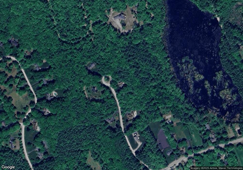
Map
Nearby Homes
- 89 Old Henniker Rd
- 541 South Rd
- 0 George Rd Unit 30
- 0 Farrington Corner Rd Unit 14
- 256-0-17 Jewett Rd
- 256 Irish Hill Rd
- 464 Irish Hill Rd
- 0 Bound Tree Rd Unit 50 5060705
- 656 Dolly Rd
- 7 Currier Rd
- 455 Maple St
- 167 Branch Londonderry Turnpike
- 38 Woodwells Garrison Rd
- 148 Broad Cove Dr
- I3-03-05 Clinton St
- 108 Maple St
- 40 N Woods Rd
- 356 E Penacook Rd
- 27 Brushwood Dr
- 490 Page Rd
- 123 Taylor Rd
- 76 Taylor Rd
- 131 Taylor Rd
- 85 Taylor Rd
- 38 Taylor Rd
- 1300 Hopkinton Rd
- 166 Hopkins Green Rd
- 182 Hopkins Green Rd
- 156 Hopkins Green Rd
- 198 Hopkins Green Rd
- 1280 Hopkinton Rd
- 130 Hopkins Green Rd
- 1344 Hopkinton Rd
- 214 Hopkins Green Rd
- 1291 Hopkinton Rd
- 1279 Hopkinton Rd
- 1258 Hopkinton Rd
- 1325 Hopkinton Rd
- 92 Hopkins Green Rd
- 1341 Hopkinton Rd