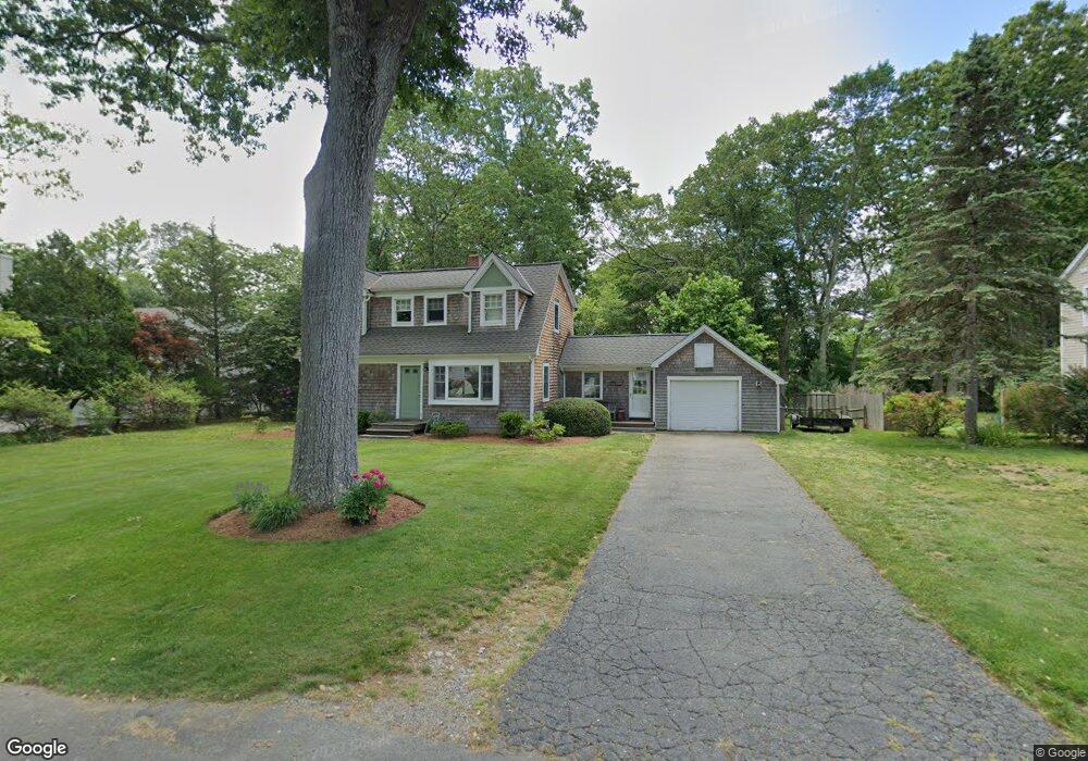
122 Wampus Way Fairfield, CT 06825
Lake Mohegan Hills NeighborhoodEstimated Value: $710,000 - $827,090
4
Beds
3
Baths
1,592
Sq Ft
$484/Sq Ft
Est. Value
About This Home
This home is located at 122 Wampus Way, Fairfield, CT 06825 and is currently estimated at $770,523, approximately $483 per square foot. 122 Wampus Way is a home located in Fairfield County with nearby schools including North Stratfield Elementary School, Fairfield Woods Middle School, and Fairfield Warde High School.
Ownership History
Date
Name
Owned For
Owner Type
Purchase Details
Closed on
May 1, 2000
Sold by
Bhushan Mukul and Bhushan Anupam
Bought by
Elliott Robert F
Current Estimated Value
Purchase Details
Closed on
Aug 31, 1993
Sold by
Roos Dagmar I and Roberts June P
Bought by
Bhushan Mukul and Bhushan Anupam
Create a Home Valuation Report for This Property
The Home Valuation Report is an in-depth analysis detailing your home's value as well as a comparison with similar homes in the area
Home Values in the Area
Average Home Value in this Area
Purchase History
| Date | Buyer | Sale Price | Title Company |
|---|---|---|---|
| Elliott Robert F | $251,000 | -- | |
| Elliott Robert F | $251,000 | -- | |
| Bhushan Mukul | $186,000 | -- | |
| Bhushan Mukul | $186,000 | -- |
Source: Public Records
Mortgage History
| Date | Status | Borrower | Loan Amount |
|---|---|---|---|
| Open | Bhushan Mukul | $107,981 | |
| Closed | Bhushan Mukul | $133,000 | |
| Closed | Bhushan Mukul | $107,000 |
Source: Public Records
Tax History Compared to Growth
Tax History
| Year | Tax Paid | Tax Assessment Tax Assessment Total Assessment is a certain percentage of the fair market value that is determined by local assessors to be the total taxable value of land and additions on the property. | Land | Improvement |
|---|---|---|---|---|
| 2025 | $9,318 | $328,230 | $241,430 | $86,800 |
| 2024 | $9,158 | $328,230 | $241,430 | $86,800 |
| 2023 | $9,030 | $328,230 | $241,430 | $86,800 |
| 2022 | $8,941 | $328,230 | $241,430 | $86,800 |
| 2021 | $8,856 | $328,230 | $241,430 | $86,800 |
| 2020 | $8,248 | $307,860 | $207,480 | $100,380 |
| 2019 | $8,248 | $307,860 | $207,480 | $100,380 |
| 2018 | $8,115 | $307,860 | $207,480 | $100,380 |
| 2017 | $7,949 | $307,860 | $207,480 | $100,380 |
| 2016 | $7,835 | $307,860 | $207,480 | $100,380 |
| 2015 | $7,682 | $309,890 | $218,400 | $91,490 |
| 2014 | $7,561 | $309,890 | $218,400 | $91,490 |
Source: Public Records
Map
Nearby Homes
- 251 Winnepoge Dr
- 31 High Ridge Rd
- 264 Harvester Rd
- 357 Harvester Rd
- 273 Wheeler Park Ave
- 947 Galloping Hill Rd
- 109 Buckboard Ln
- 2492 Congress St
- 1748 Stratfield Rd
- 342 Fairfield Woods Rd
- 893 Church Hill Rd
- 71 Schiller Rd
- 160 Fairfield Woods Rd Unit 35
- 210 Pansy Rd
- 750 Burr St
- 66 Wynn Wood Dr
- 92 Montauk St
- 28 Stillson Place
- 706 Judd St
- 2959 Congress St
- 117 Wampus Way
- 142 Wampus Way
- 139 Wampus Way
- 104 Wampus Way
- 638 Winnepoge Dr
- 658 Winnepoge Dr
- 97 Wampus Way
- 608 Winnepoge Dr
- 79 Wampus Way
- 690 Winnepoge Dr
- 492 Winnepoge Dr
- 570 Winnepoge Dr
- 14 Romanock Rd
- 470 Winnepoge Dr
- 62 Wampus Way
- 32 Romanock Rd
- 57 Wampus Way
- 518 Winnepoge Dr
- 448 Winnepoge Dr
- 426 Winnepoge Dr