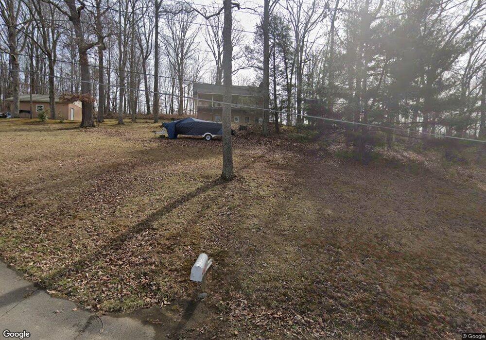
122 Whitlock Dr Fall Branch, TN 37656
Estimated Value: $335,000 - $379,000
3
Beds
3
Baths
2,992
Sq Ft
$119/Sq Ft
Est. Value
About This Home
This home is located at 122 Whitlock Dr, Fall Branch, TN 37656 and is currently estimated at $355,477, approximately $118 per square foot. 122 Whitlock Dr is a home located in Washington County with nearby schools including Fall Branch Elementary School and Daniel Boone High School.
Ownership History
Date
Name
Owned For
Owner Type
Purchase Details
Closed on
Mar 25, 2021
Sold by
Mastin Mary Elizabeth Whitlock
Bought by
Hubbard Matthew Steven
Current Estimated Value
Home Financials for this Owner
Home Financials are based on the most recent Mortgage that was taken out on this home.
Original Mortgage
$222,222
Outstanding Balance
$199,875
Interest Rate
2.9%
Mortgage Type
New Conventional
Estimated Equity
$155,602
Purchase Details
Closed on
Jun 2, 2008
Sold by
Whitlo Stapp Patricia Jane
Bought by
Whitlock Mastin Mary Elizabeth
Purchase Details
Closed on
Apr 14, 2008
Bought by
Whitlock Mastin Mary Elizabeth
Create a Home Valuation Report for This Property
The Home Valuation Report is an in-depth analysis detailing your home's value as well as a comparison with similar homes in the area
Home Values in the Area
Average Home Value in this Area
Purchase History
| Date | Buyer | Sale Price | Title Company |
|---|---|---|---|
| Hubbard Matthew Steven | $220,000 | Heritage Ttl & Closing Svcs | |
| Whitlock Mastin Mary Elizabeth | -- | -- | |
| Whitlock Mastin Mary Elizabeth | -- | -- |
Source: Public Records
Mortgage History
| Date | Status | Borrower | Loan Amount |
|---|---|---|---|
| Open | Hubbard Matthew Steven | $222,222 |
Source: Public Records
Tax History Compared to Growth
Tax History
| Year | Tax Paid | Tax Assessment Tax Assessment Total Assessment is a certain percentage of the fair market value that is determined by local assessors to be the total taxable value of land and additions on the property. | Land | Improvement |
|---|---|---|---|---|
| 2024 | $1,385 | $81,000 | $8,900 | $72,100 |
| 2022 | $963 | $44,800 | $8,350 | $36,450 |
| 2021 | $963 | $44,800 | $8,350 | $36,450 |
| 2020 | $963 | $44,800 | $8,350 | $36,450 |
| 2019 | $913 | $44,800 | $8,350 | $36,450 |
| 2018 | $913 | $38,350 | $8,350 | $30,000 |
| 2017 | $913 | $38,350 | $8,350 | $30,000 |
| 2016 | $913 | $38,350 | $8,350 | $30,000 |
| 2015 | $759 | $38,350 | $8,350 | $30,000 |
| 2014 | $759 | $38,350 | $8,350 | $30,000 |
Source: Public Records
Map
Nearby Homes
- 106 Davis Rd
- Tr 1 Joe R McCrary Rd
- 255 Bank Dr
- 1415 Highway 93
- 1625 Highway 93
- 480 Fordtown Rd
- 40 Spring Ln
- 545 Fordtown Rd
- 160 Forrest Rd
- 2145 Tennessee 93
- 505 Jackson Rd
- 1340 Ryan Rd
- 0 Tbd Highway 93 Unit LotWO001
- 180 Kincheloe Rd
- 88/Ac Tbd Hwy 93
- Tbd Oak Glen Cir
- 00 Rd
- 263 Moulton Rd
- 176 Moulton Rd
- 3016 Highway 81
- 126 Whitlock Dr
- 0 Whitlock Dr
- 110 Whitlock Dr
- 125 Whitlock Dr
- 114 Davis Rd
- 100 Whitlock Dr
- 1009 Highway 93
- 1013 Highway 93
- 1021 Highway 93
- 106 Double Springs Rd
- 0 Ruritan Rd
- 1046 Highway 93
- 1109 Highway 93
- 164 Double Springs Rd
- 1115 Highway 93
- 1201 Highway 93
- 174 Double Springs Rd
- 114 Judge Baines Rd
- 127 Judge Baines Rd
- 125 Ridge Rd