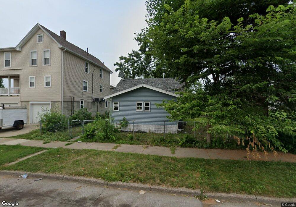
1220 5th St NW Cedar Rapids, IA 52405
Northwest Area NeighborhoodEstimated Value: $102,383 - $126,000
2
Beds
1
Bath
720
Sq Ft
$155/Sq Ft
Est. Value
About This Home
This home is located at 1220 5th St NW, Cedar Rapids, IA 52405 and is currently estimated at $111,596, approximately $154 per square foot. 1220 5th St NW is a home located in Linn County with nearby schools including Harrison Elementary School, Kentucky Tech - Ashland Reg Tech Center, and Ponderosa Elementary School.
Ownership History
Date
Name
Owned For
Owner Type
Purchase Details
Closed on
Sep 15, 2017
Sold by
Saarah Mensah Yaw and Saarah Sarrah Mensah
Bought by
Coker Muctaru
Current Estimated Value
Purchase Details
Closed on
Aug 12, 2004
Sold by
Melsha Scott D
Bought by
Saarah Mensah Yaw and Mensah Yaw O Saarah
Home Financials for this Owner
Home Financials are based on the most recent Mortgage that was taken out on this home.
Original Mortgage
$62,009
Interest Rate
6.35%
Mortgage Type
FHA
Create a Home Valuation Report for This Property
The Home Valuation Report is an in-depth analysis detailing your home's value as well as a comparison with similar homes in the area
Home Values in the Area
Average Home Value in this Area
Purchase History
| Date | Buyer | Sale Price | Title Company |
|---|---|---|---|
| Coker Muctaru | -- | None Available | |
| Saarah Mensah Yaw | $62,000 | -- |
Source: Public Records
Mortgage History
| Date | Status | Borrower | Loan Amount |
|---|---|---|---|
| Previous Owner | Saarah Mensah Yaw | $62,009 |
Source: Public Records
Tax History Compared to Growth
Tax History
| Year | Tax Paid | Tax Assessment Tax Assessment Total Assessment is a certain percentage of the fair market value that is determined by local assessors to be the total taxable value of land and additions on the property. | Land | Improvement |
|---|---|---|---|---|
| 2025 | $1,560 | $92,000 | $29,700 | $62,300 |
| 2024 | $1,632 | $88,100 | $24,800 | $63,300 |
| 2023 | $1,632 | $88,100 | $24,800 | $63,300 |
| 2022 | $1,552 | $77,400 | $24,800 | $52,600 |
| 2021 | $1,518 | $74,900 | $22,300 | $52,600 |
| 2020 | $1,518 | $68,800 | $22,300 | $46,500 |
| 2019 | $1,332 | $61,800 | $17,300 | $44,500 |
| 2018 | $1,248 | $61,800 | $17,300 | $44,500 |
| 2017 | $1,318 | $63,500 | $17,300 | $46,200 |
| 2016 | $1,318 | $62,000 | $17,300 | $44,700 |
| 2015 | $1,753 | $82,285 | $17,325 | $64,960 |
| 2014 | $878 | $82,285 | $17,325 | $64,960 |
| 2013 | $1,897 | $82,285 | $17,325 | $64,960 |
Source: Public Records
Map
Nearby Homes
- 1238 Ellis Blvd NW
- 1222 8th St NW
- 820 M Ave NW
- 718 4th St NW
- 816 9th St NW
- 716 F Ave NW
- 819 G Ave NW
- 1016 H Ave NW
- 714 East Ave NW
- 720 E Ave NW
- 1130 13th St NW
- 1126 13th St NW
- 1073 G Ave NW
- 1015 Pawnee Dr NW
- 1424 N Ave NW
- 1871 Ellis Blvd NW Unit 202
- 1871 Ellis Blvd NW Unit 205
- 1624 O Ave NW
- 217 11th St NW
- 200 3rd Ave SE Unit 301