1220 Baudy James Rd Cedar Grove, TN 38321
Estimated Value: $195,000 - $258,000
--
Bed
2
Baths
1,946
Sq Ft
$115/Sq Ft
Est. Value
About This Home
This home is located at 1220 Baudy James Rd, Cedar Grove, TN 38321 and is currently estimated at $224,749, approximately $115 per square foot. 1220 Baudy James Rd is a home located in Henderson County.
Ownership History
Date
Name
Owned For
Owner Type
Purchase Details
Closed on
Jun 14, 2021
Sold by
Corley Priscilla N and Corley James Priscilla
Bought by
Corley Priscilla N and Corley Walter
Current Estimated Value
Home Financials for this Owner
Home Financials are based on the most recent Mortgage that was taken out on this home.
Original Mortgage
$81,100
Outstanding Balance
$49,477
Interest Rate
2.9%
Mortgage Type
New Conventional
Estimated Equity
$175,272
Purchase Details
Closed on
Aug 13, 2002
Sold by
Chase Manhattan Bank
Bought by
Priscilla James
Home Financials for this Owner
Home Financials are based on the most recent Mortgage that was taken out on this home.
Original Mortgage
$67,835
Interest Rate
6.53%
Purchase Details
Closed on
Nov 19, 2001
Sold by
Wallis Edwin E Jr Sub Tr
Bought by
Genco Properties
Purchase Details
Closed on
Aug 7, 1996
Bought by
Howell Benjamin Paul and Howell Amanda J
Create a Home Valuation Report for This Property
The Home Valuation Report is an in-depth analysis detailing your home's value as well as a comparison with similar homes in the area
Home Values in the Area
Average Home Value in this Area
Purchase History
| Date | Buyer | Sale Price | Title Company |
|---|---|---|---|
| Corley Priscilla N | -- | Inspire Closing Services Llc | |
| Priscilla James | $68,900 | -- | |
| Genco Properties | $10,000 | -- | |
| Howell Benjamin Paul | $4,800 | -- |
Source: Public Records
Mortgage History
| Date | Status | Borrower | Loan Amount |
|---|---|---|---|
| Open | Corley Priscilla N | $81,100 | |
| Closed | Howell Benjamin Paul | $67,835 |
Source: Public Records
Tax History Compared to Growth
Tax History
| Year | Tax Paid | Tax Assessment Tax Assessment Total Assessment is a certain percentage of the fair market value that is determined by local assessors to be the total taxable value of land and additions on the property. | Land | Improvement |
|---|---|---|---|---|
| 2024 | $817 | $51,625 | $6,300 | $45,325 |
| 2023 | $817 | $51,625 | $6,300 | $45,325 |
| 2022 | $665 | $28,050 | $3,000 | $25,050 |
| 2021 | $665 | $28,050 | $3,000 | $25,050 |
| 2020 | $665 | $28,050 | $3,000 | $25,050 |
| 2019 | $665 | $28,050 | $3,000 | $25,050 |
| 2018 | $638 | $27,925 | $3,000 | $24,925 |
| 2017 | $638 | $27,925 | $3,000 | $24,925 |
| 2016 | $647 | $27,225 | $3,000 | $24,225 |
| 2015 | $647 | $27,225 | $3,000 | $24,225 |
| 2014 | $647 | $27,219 | $0 | $0 |
Source: Public Records
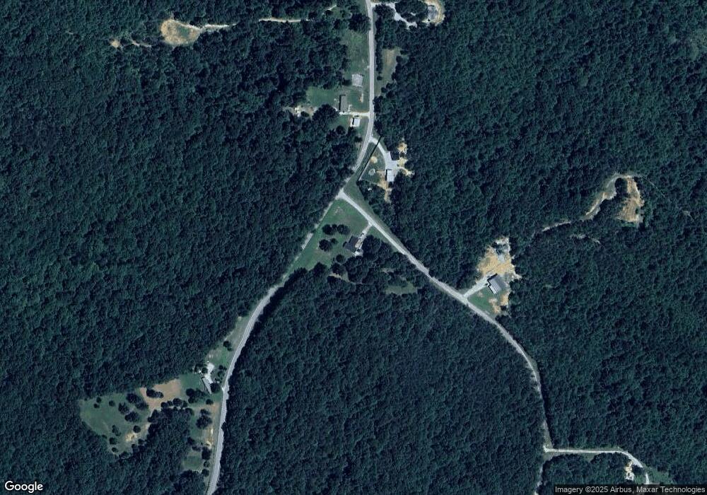
Map
Nearby Homes
- 4555 Rue Hamner Rd
- 115 Baudy James Rd
- 155 Fire Tower Rd
- 400 Summit Chase Rd
- Lot 5 Jason Hollow Rd
- 5 Jason Hollow Rd
- 213 Jason Hollow Rd
- 255 Jason Hollow Rd
- 163 Jason Hollow Rd
- 00 Royal Fox Point
- Lot 30 Stan Ln
- 30 Stan Ln
- 0 Pearson Rd
- 0 Daws Ln
- 935 Pearson Rd
- 00 Stan Ln
- 4260 Highfield Rd
- 0 New Bethel Rd
- 2785 New Bethel Rd
- 000 Hart Cemetery Rd