1220 Boston Neck Rd Saunderstown, RI 02874
Saunderstown NeighborhoodEstimated Value: $625,224 - $773,000
3
Beds
1
Bath
1,255
Sq Ft
$556/Sq Ft
Est. Value
About This Home
This home is located at 1220 Boston Neck Rd, Saunderstown, RI 02874 and is currently estimated at $697,556, approximately $555 per square foot. 1220 Boston Neck Rd is a home located in Washington County with nearby schools including Hamilton Elementary School, Wickford Middle School, and North Kingstown Sr. High School.
Ownership History
Date
Name
Owned For
Owner Type
Purchase Details
Closed on
Feb 27, 2008
Sold by
Dickens Grace M
Bought by
Turco Anthony and Turco Mary Anne
Current Estimated Value
Home Financials for this Owner
Home Financials are based on the most recent Mortgage that was taken out on this home.
Original Mortgage
$296,000
Outstanding Balance
$184,996
Interest Rate
5.8%
Estimated Equity
$512,560
Create a Home Valuation Report for This Property
The Home Valuation Report is an in-depth analysis detailing your home's value as well as a comparison with similar homes in the area
Home Values in the Area
Average Home Value in this Area
Purchase History
| Date | Buyer | Sale Price | Title Company |
|---|---|---|---|
| Turco Anthony | $370,000 | -- |
Source: Public Records
Mortgage History
| Date | Status | Borrower | Loan Amount |
|---|---|---|---|
| Open | Turco Anthony | $27,900 | |
| Open | Turco Anthony | $296,000 |
Source: Public Records
Tax History Compared to Growth
Tax History
| Year | Tax Paid | Tax Assessment Tax Assessment Total Assessment is a certain percentage of the fair market value that is determined by local assessors to be the total taxable value of land and additions on the property. | Land | Improvement |
|---|---|---|---|---|
| 2025 | $6,384 | $578,300 | $319,800 | $258,500 |
| 2024 | $6,178 | $430,800 | $213,100 | $217,700 |
| 2023 | $6,178 | $430,800 | $213,100 | $217,700 |
| 2022 | $6,057 | $430,800 | $213,100 | $217,700 |
| 2021 | $5,829 | $333,100 | $153,000 | $180,100 |
| 2020 | $5,693 | $333,100 | $153,000 | $180,100 |
| 2019 | $5,693 | $333,100 | $153,000 | $180,100 |
| 2018 | $5,249 | $276,700 | $142,700 | $134,000 |
| 2017 | $5,144 | $276,700 | $142,700 | $134,000 |
| 2016 | $4,997 | $276,700 | $142,700 | $134,000 |
| 2015 | $5,172 | $268,000 | $142,700 | $125,300 |
| 2014 | $5,068 | $268,000 | $142,700 | $125,300 |
Source: Public Records
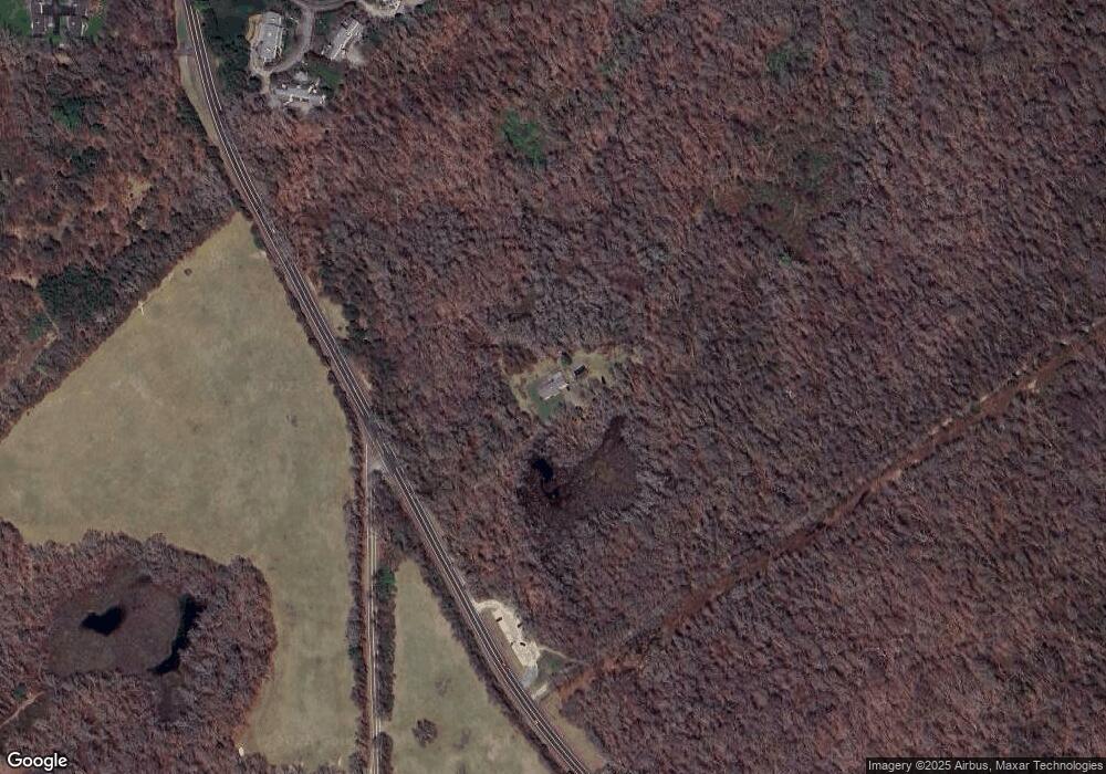
Map
Nearby Homes
- 73 Oceanwoods Dr
- 127 Oceanwoods Dr
- 51 Salisbury Ave
- 65 Village Hill Ln
- 229 Earle Dr
- 63 Duck Cove Rd
- 480 Boston Neck Rd
- 10 Highland Rd
- 47 Shady Lea Rd
- 471 Annaquatucket Rd
- 2180 Tower Hill Rd
- 67 Daniel Dr
- 2424 Tower Hill Rd
- 194 Phillips St
- 0 W Allenton Rd
- 35 Collation Cir
- 34 Pleasant St
- 25 Thomas St
- 121 Seaside Dr
- 174 Seaside Dr
- 0 Boston Neck Rd Unit 617619
- 0 Boston Neck Rd Unit 611762
- 0 Boston Neck Rd Unit 818112
- 0 Boston Neck Rd Unit 509785
- 0 Boston Neck Rd Unit 541994
- 0 Boston Neck Rd Unit 1038191
- 0 Boston Neck Rd Unit 1038202
- 0 Boston Neck Rd Unit 1078320
- 0 Boston Neck Rd Unit 1089017
- 0 Boston Neck Rd Unit 1103711
- 39 Oceanwoods Dr
- 37 Oceanwoods Dr
- 37 Oceanwoods Dr Unit 8
- 37 Oceanwoods Dr Unit 37
- 35 Oceanwoods Dr
- 35 Oceanwoods Dr Unit 35
- 35 Oceanwoods Dr Unit 8
- 43 Oceanwoods Dr
- 33 Oceanwoods Dr
- 45 Oceanwoods Dr