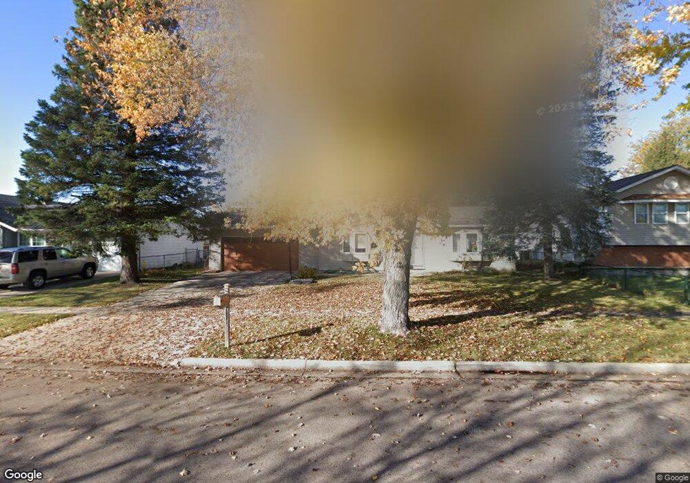
1220 Braeburn Dr Elgin, IL 60123
Century Oaks NeighborhoodEstimated Value: $297,000 - $315,855
2
Beds
2
Baths
999
Sq Ft
$303/Sq Ft
Est. Value
About This Home
This home is located at 1220 Braeburn Dr, Elgin, IL 60123 and is currently estimated at $302,714, approximately $303 per square foot. 1220 Braeburn Dr is a home located in Kane County with nearby schools including Century Oaks Elementary School, Kimball Middle School, and Larkin High School.
Ownership History
Date
Name
Owned For
Owner Type
Purchase Details
Closed on
Feb 5, 2002
Sold by
Miller Monica M
Bought by
Miller Charlie E
Current Estimated Value
Purchase Details
Closed on
Sep 21, 1995
Sold by
Joseph Helen A
Bought by
Miller Godfrey R and Miller Betty L
Home Financials for this Owner
Home Financials are based on the most recent Mortgage that was taken out on this home.
Original Mortgage
$75,000
Interest Rate
8.12%
Mortgage Type
Purchase Money Mortgage
Create a Home Valuation Report for This Property
The Home Valuation Report is an in-depth analysis detailing your home's value as well as a comparison with similar homes in the area
Home Values in the Area
Average Home Value in this Area
Purchase History
| Date | Buyer | Sale Price | Title Company |
|---|---|---|---|
| Miller Charlie E | -- | -- | |
| Miller Godfrey R | $105,000 | Chicago Title Insurance Co |
Source: Public Records
Mortgage History
| Date | Status | Borrower | Loan Amount |
|---|---|---|---|
| Closed | Miller Godfrey R | $75,000 |
Source: Public Records
Tax History
| Year | Tax Paid | Tax Assessment Tax Assessment Total Assessment is a certain percentage of the fair market value that is determined by local assessors to be the total taxable value of land and additions on the property. | Land | Improvement |
|---|---|---|---|---|
| 2024 | $6,228 | $85,825 | $24,998 | $60,827 |
| 2023 | $5,928 | $77,537 | $22,584 | $54,953 |
| 2022 | $5,610 | $70,701 | $20,593 | $50,108 |
| 2021 | $5,362 | $66,100 | $19,253 | $46,847 |
| 2020 | $5,208 | $63,103 | $18,380 | $44,723 |
| 2019 | $5,054 | $60,109 | $17,508 | $42,601 |
| 2018 | $5,005 | $56,627 | $16,494 | $40,133 |
| 2017 | $4,889 | $53,533 | $15,593 | $37,940 |
| 2016 | $4,657 | $49,664 | $14,466 | $35,198 |
| 2015 | -- | $45,521 | $13,259 | $32,262 |
| 2014 | -- | $44,959 | $13,095 | $31,864 |
| 2013 | -- | $46,145 | $13,440 | $32,705 |
Source: Public Records
Map
Nearby Homes
- 1212 Century Oaks Dr
- 1114 Century Oaks Dr
- 1345 S Madlock Ct
- 15 Creekside Cir Unit B
- 1790 Devonshire Ct
- 2013 Jeffrey Ln Unit 2013
- 801 N Mclean Blvd Unit 214
- 801 N Mclean Blvd Unit 320
- 1104 Florimond Dr
- 13 Pioneer Park Place
- LOT 17 Teal Ave
- LOTS 14 & 15 Teal Ave
- 10 Chateau Dr
- 1367 Wauchope Dr
- 949 Millcreek Cir
- 558 N Crystal St
- 1101 Richard Rd
- 1045 Richard Rd Unit 207
- 1052 Bayside Rd Unit 213
- 1143 Bayside Rd Unit 149
- 1210 Braeburn Dr
- 1230 Braeburn Dr
- 1215 Lennoxshire Dr
- 1192 Braeburn Dr
- 1207 Lennoxshire Dr
- 1225 Lennoxshire Dr
- 1240 Braeburn Dr
- 1235 Lennoxshire Dr
- 1400 Todd Farm Dr Unit 1402
- 1201 Lennoxshire Dr Unit 3
- 1250 Braeburn Dr
- 1190 Braeburn Dr
- 1245 Lennoxshire Dr
- 1260 Braeburn Dr
- 1220 Lennoxshire Dr
- 1210 Lennoxshire Dr
- 1255 Lennoxshire Dr
- 1230 Lennoxshire Dr
- 1428 Todd Farm Dr
- 1240 Lennoxshire Dr