1220 Brookside Rd Allentown, PA 18106
Estimated Value: $465,566 - $558,000
4
Beds
3
Baths
1,985
Sq Ft
$246/Sq Ft
Est. Value
About This Home
This home is located at 1220 Brookside Rd, Allentown, PA 18106 and is currently estimated at $489,142, approximately $246 per square foot. 1220 Brookside Rd is a home located in Lehigh County with nearby schools including Wescosville Elementary School, Lower Macungie Middle School, and Emmaus High School.
Ownership History
Date
Name
Owned For
Owner Type
Purchase Details
Closed on
Jun 26, 1990
Sold by
Bethany United Methodist Church
Bought by
Bethany United Methodist Church
Current Estimated Value
Purchase Details
Closed on
Jul 2, 1974
Bought by
Bethany United Methodist Church
Create a Home Valuation Report for This Property
The Home Valuation Report is an in-depth analysis detailing your home's value as well as a comparison with similar homes in the area
Home Values in the Area
Average Home Value in this Area
Purchase History
| Date | Buyer | Sale Price | Title Company |
|---|---|---|---|
| Bethany United Methodist Church | -- | -- | |
| Bethany United Methodist Church | -- | -- |
Source: Public Records
Tax History Compared to Growth
Tax History
| Year | Tax Paid | Tax Assessment Tax Assessment Total Assessment is a certain percentage of the fair market value that is determined by local assessors to be the total taxable value of land and additions on the property. | Land | Improvement |
|---|---|---|---|---|
| 2025 | -- | $253,800 | $83,100 | $170,700 |
| 2024 | -- | $253,800 | $83,100 | $170,700 |
| 2023 | $0 | $253,800 | $83,100 | $170,700 |
| 2022 | $5,998 | $253,800 | $170,700 | $83,100 |
| 2021 | -- | $253,800 | $83,100 | $170,700 |
| 2020 | $56 | $253,800 | $83,100 | $170,700 |
| 2019 | $56 | $253,800 | $83,100 | $170,700 |
| 2018 | $56 | $253,800 | $83,100 | $170,700 |
| 2017 | -- | $253,800 | $83,100 | $170,700 |
| 2016 | -- | $253,800 | $83,100 | $170,700 |
| 2015 | -- | $253,800 | $83,100 | $170,700 |
| 2014 | -- | $253,800 | $83,100 | $170,700 |
Source: Public Records
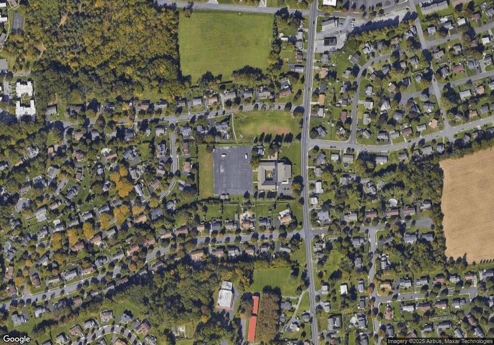
Map
Nearby Homes
- 1385 Brookside Rd
- 4881 Spruce Rd
- 5300 Hanover Dr
- 997 Village Round Unit K
- 997K Village Round Unit 104K
- 1037 Village Round Unit L
- 5133 Meadow Ln
- 5524 Stonecroft Ln
- 1270 Minesite Rd
- 4626 N Hedgerow Dr
- 5475 Hamilton Blvd Unit 7
- 5280 Townsquare Dr
- 1045 Barnside Rd
- 1675 Hamlet Dr
- 5619 Stonecroft Ln
- 5673 Wedge Ln
- 5736 Greens Dr
- 5175 Meadowview Dr
- 1991 Autumn Ridge Rd
- 6007 Timberknoll Dr
- 5153 Celia Dr
- 5129 Celia Dr
- 1235 N Brookside Rd
- 1235 Brookside Rd
- 5171 Celia Dr
- 1215 Brookside Rd
- 1241 Brookside Rd
- 1255 Brookside Rd
- 5181 Celia Dr
- 5060 Pine Grove Cir
- 1275 N Brookside Rd
- 1191 Brookside Rd
- 5160 Hanover Dr
- 1275 Brookside Rd
- 5046 Pine Grove Cir
- 5199 Celia Dr
- 5048 Pine Grove Cir
- 5132 Celia Dr
- 5154 Celia Dr
- 1171 Brookside Rd