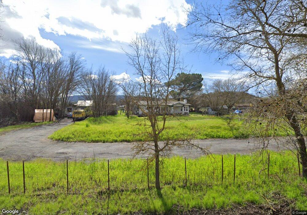
1220 Day Rd Gilroy, CA 95020
Las Animas NeighborhoodEstimated Value: $1,064,000 - $1,570,000
Studio
--
Bath
--
Sq Ft
1.1
Acres
About This Home
This home is located at 1220 Day Rd, Gilroy, CA 95020 and is currently estimated at $1,286,351. 1220 Day Rd is a home located in Santa Clara County with nearby schools including Rucker Elementary School, Solorsano Middle School, and Christopher High School.
Ownership History
Date
Name
Owned For
Owner Type
Purchase Details
Closed on
Nov 21, 2003
Sold by
Clinton Cindy
Bought by
Messmer Christopher A
Current Estimated Value
Home Financials for this Owner
Home Financials are based on the most recent Mortgage that was taken out on this home.
Original Mortgage
$230,000
Interest Rate
6.04%
Mortgage Type
Purchase Money Mortgage
Purchase Details
Closed on
Oct 9, 1996
Sold by
Messmer Christopher A and Messmer Jacqueline F
Bought by
Messmer Christopher A
Create a Home Valuation Report for This Property
The Home Valuation Report is an in-depth analysis detailing your home's value as well as a comparison with similar homes in the area
Home Values in the Area
Average Home Value in this Area
Purchase History
| Date | Buyer | Sale Price | Title Company |
|---|---|---|---|
| Messmer Christopher A | -- | Ticor Title Company | |
| Messmer Christopher A | -- | -- |
Source: Public Records
Mortgage History
| Date | Status | Borrower | Loan Amount |
|---|---|---|---|
| Closed | Messmer Christopher A | $230,000 |
Source: Public Records
Tax History Compared to Growth
Tax History
| Year | Tax Paid | Tax Assessment Tax Assessment Total Assessment is a certain percentage of the fair market value that is determined by local assessors to be the total taxable value of land and additions on the property. | Land | Improvement |
|---|---|---|---|---|
| 2025 | $5,237 | $433,387 | $145,613 | $287,774 |
| 2024 | $5,237 | $424,890 | $142,758 | $282,132 |
| 2023 | $5,197 | $416,559 | $139,959 | $276,600 |
| 2022 | $5,102 | $408,392 | $137,215 | $271,177 |
| 2021 | $5,076 | $400,385 | $134,525 | $265,860 |
| 2020 | $5,014 | $396,280 | $133,146 | $263,134 |
| 2019 | $4,964 | $388,511 | $130,536 | $257,975 |
| 2018 | $4,616 | $380,894 | $127,977 | $252,917 |
| 2017 | $4,709 | $373,426 | $125,468 | $247,958 |
| 2016 | $4,605 | $366,105 | $123,008 | $243,097 |
| 2015 | $4,337 | $360,607 | $121,161 | $239,446 |
| 2014 | $4,268 | $353,544 | $118,788 | $234,756 |
Source: Public Records
Map
Nearby Homes
- 1180 Day Rd
- 0 Geri Ln
- 9850 Bobcat Ct
- 10395 Santa Teresa Blvd
- 9652 Cooper Place
- 1080 Sunrise Dr
- 9336 Lariat Dr
- 1810 Carob Ct
- 9250 Mahogany Ct
- 9045 Tea Tree Way
- 946 Martiri Ct
- 8940 Acorn Way
- 1206 Sycamore Ct
- 1920 Mantelli Dr
- 2360 Sunflower Cir
- 1405 Lakeview Ct
- 119 Farrell Ave
- 103 Farrell Ave
- 111 Farrell Ave
- 0 Buena Vista Ave