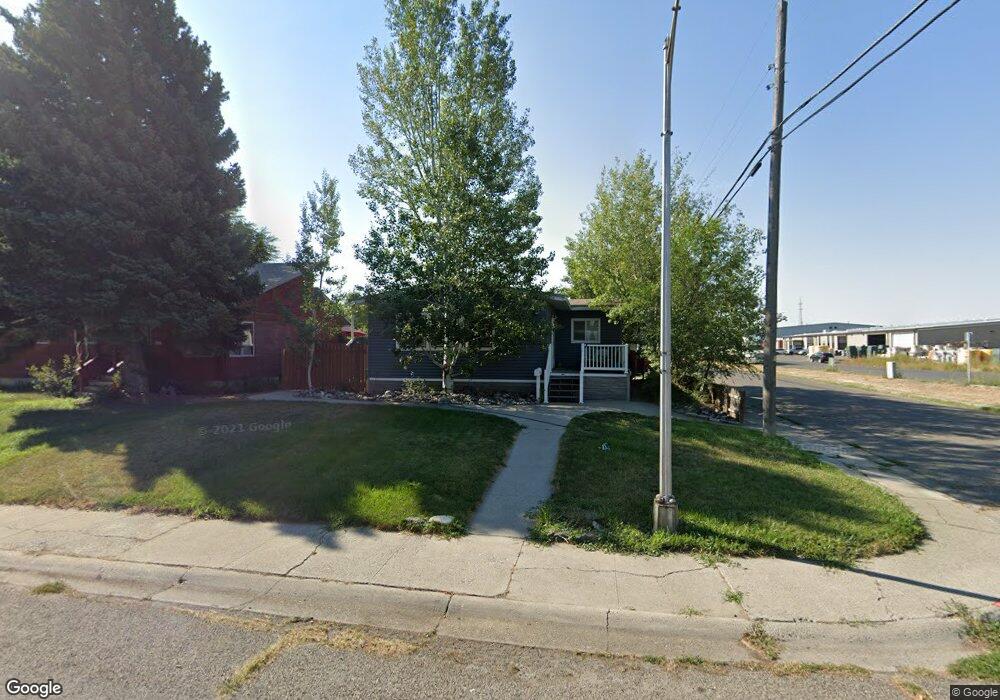
1220 Glencoe Dr Billings, MT 59101
East Central Billings NeighborhoodEstimated Value: $269,000 - $320,000
4
Beds
2
Baths
2,076
Sq Ft
$140/Sq Ft
Est. Value
About This Home
This home is located at 1220 Glencoe Dr, Billings, MT 59101 and is currently estimated at $289,777, approximately $139 per square foot. 1220 Glencoe Dr is a home located in Yellowstone County with nearby schools including Washington School, Lewis & Clark Junior High School, and Billings West High School.
Ownership History
Date
Name
Owned For
Owner Type
Purchase Details
Closed on
Jul 31, 2013
Sold by
Rowe David D and Rowe Amy L
Bought by
Molodecki David and Molodecki Megan
Current Estimated Value
Home Financials for this Owner
Home Financials are based on the most recent Mortgage that was taken out on this home.
Original Mortgage
$170,848
Outstanding Balance
$126,340
Interest Rate
4.25%
Mortgage Type
FHA
Estimated Equity
$163,437
Create a Home Valuation Report for This Property
The Home Valuation Report is an in-depth analysis detailing your home's value as well as a comparison with similar homes in the area
Home Values in the Area
Average Home Value in this Area
Purchase History
We collect this data history from publicly available records. To have your information removed, we recommend requesting removal directly through your county’s website.
| Date | Buyer | Sale Price | Title Company |
|---|---|---|---|
| Molodecki David | -- | None Available |
Source: Public Records
Mortgage History
We collect this data history from publicly available records. To have your information removed, we recommend requesting removal directly through your county’s website.
| Date | Status | Borrower | Loan Amount |
|---|---|---|---|
| Open | Molodecki David | $170,848 |
Source: Public Records
Tax History
| Year | Tax Paid | Tax Assessment Tax Assessment Total Assessment is a certain percentage of the fair market value that is determined by local assessors to be the total taxable value of land and additions on the property. | Land | Improvement |
|---|---|---|---|---|
| 2025 | $2,464 | $304,000 | $37,395 | $266,605 |
| 2024 | $2,464 | $245,400 | $36,331 | $209,069 |
| 2023 | $2,462 | $245,400 | $36,331 | $209,069 |
| 2022 | $1,868 | $197,800 | $0 | $0 |
| 2021 | $2,166 | $197,800 | $0 | $0 |
| 2020 | $2,111 | $183,400 | $0 | $0 |
| 2019 | $2,009 | $183,400 | $0 | $0 |
| 2018 | $1,851 | $164,900 | $0 | $0 |
| 2017 | $1,796 | $164,900 | $0 | $0 |
| 2016 | $1,636 | $149,900 | $0 | $0 |
| 2015 | $1,601 | $149,900 | $0 | $0 |
| 2014 | $1,661 | $83,528 | $0 | $0 |
Source: Public Records
Map
Nearby Homes
- 1204 Fairvale Dr
- 1240 Eldorado Dr
- 1228 Concord Dr
- 336 Foster Ln
- 226 Moore Ln
- 1245 Cook Ave
- 1315 Cook Ave
- 1120 Miles Ave
- 109 16th St W
- 947 Howard Ave
- 1019 Miles Ave
- 421 14th St W
- 307 S Billings Blvd Unit 24
- 307 S Billings Blvd Unit 36
- 419 Mervin St
- 19 Patton Ave
- 1331 Custer Ave
- 307 17th St W
- 4614 Bruce Ave
- 632 Saint Johns Ave Unit 8
- 1216 Glencoe Dr
- 1212 Glencoe Dr
- 1219 Harney Dr
- 1215 Harney Dr
- 1208 Glencoe Dr
- 1211 Harney Dr
- 1219 Glencoe Dr
- 1215 Glencoe Dr
- 1211 Glencoe Dr
- 1204 Glencoe Dr
- 1207 Glencoe Dr
- 1203 Harney Dr
- 1203 Glencoe Dr
- 1220 Fairvale Dr
- 1220 Harney Dr
- 1216 Fairvale Dr
- 1212 Fairvale Dr
- 1212 Harney Dr
- 157 S 12th St W
- 153 S 12th St W
Your Personal Tour Guide
Ask me questions while you tour the home.