1220 Lake Rd Conneaut, OH 44030
Estimated Value: $63,212 - $182,000
2
Beds
1
Bath
865
Sq Ft
$152/Sq Ft
Est. Value
About This Home
This home is located at 1220 Lake Rd, Conneaut, OH 44030 and is currently estimated at $131,303, approximately $151 per square foot. 1220 Lake Rd is a home located in Ashtabula County with nearby schools including Lakeshore Primary Elementary School, Gateway Elementary School, and Conneaut Middle School.
Ownership History
Date
Name
Owned For
Owner Type
Purchase Details
Closed on
Aug 22, 2022
Sold by
Johnson David Lester and Johnson Nancy F
Bought by
Rice Ronald J and Rice Cynthia Westcott
Current Estimated Value
Purchase Details
Closed on
Jul 23, 2015
Sold by
Johnson David S and Johnson Nancy F
Bought by
Johnson David L and Johnson Nancy F
Purchase Details
Closed on
Jul 15, 2004
Sold by
Johnson Dan Lewis and Johnson Fatna
Bought by
Johnson David L
Home Financials for this Owner
Home Financials are based on the most recent Mortgage that was taken out on this home.
Original Mortgage
$90,000
Interest Rate
6.4%
Mortgage Type
Seller Take Back
Purchase Details
Closed on
Mar 31, 2004
Sold by
Johnson Dan Lewis and Johnson Fatna
Bought by
Johnson Dan Lewis and Johnson Fatna
Purchase Details
Closed on
Nov 3, 1994
Sold by
Johnson Lester S
Bought by
Johnson Dan L
Create a Home Valuation Report for This Property
The Home Valuation Report is an in-depth analysis detailing your home's value as well as a comparison with similar homes in the area
Home Values in the Area
Average Home Value in this Area
Purchase History
| Date | Buyer | Sale Price | Title Company |
|---|---|---|---|
| Rice Ronald J | $210,000 | -- | |
| Johnson David L | -- | Attorney | |
| Johnson David L | $90,000 | -- | |
| Johnson Dan Lewis | -- | -- | |
| Johnson Dan L | $9,300 | -- |
Source: Public Records
Mortgage History
| Date | Status | Borrower | Loan Amount |
|---|---|---|---|
| Previous Owner | Johnson David L | $90,000 |
Source: Public Records
Tax History Compared to Growth
Tax History
| Year | Tax Paid | Tax Assessment Tax Assessment Total Assessment is a certain percentage of the fair market value that is determined by local assessors to be the total taxable value of land and additions on the property. | Land | Improvement |
|---|---|---|---|---|
| 2024 | $1,075 | $14,700 | $13,720 | $980 |
| 2023 | $701 | $14,700 | $13,720 | $980 |
| 2022 | $794 | $14,700 | $13,720 | $980 |
| 2021 | $808 | $14,700 | $13,720 | $980 |
| 2020 | $878 | $16,000 | $13,720 | $2,280 |
| 2019 | $1,344 | $33,330 | $29,440 | $3,890 |
| 2018 | $1,282 | $33,330 | $29,440 | $3,890 |
| 2017 | $1,098 | $33,330 | $29,440 | $3,890 |
| 2016 | $907 | $27,720 | $24,500 | $3,220 |
| 2015 | $1,723 | $27,720 | $24,500 | $3,220 |
| 2014 | $1,567 | $45,680 | $24,500 | $21,180 |
| 2013 | $300 | $15,930 | $11,240 | $4,690 |
Source: Public Records
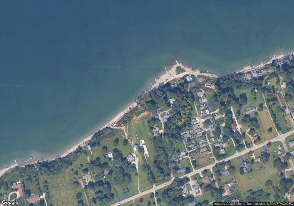
Map
Nearby Homes
- 1185 Lake Rd
- 2663 Lake Rd
- 1145 Lake Rd
- 1300 Lake Rd
- 139 Salisbury Rd
- 1036 Golfview Dr
- 202 W Main Rd Unit Lot 150
- 210 W Main Rd
- 320 W Main Rd
- 106 Margor Dr
- 247 Whitney St
- 40 Oakland Blvd
- 681 Madison St
- 919 Lincoln Dr
- 220 Daniels Ave
- 527 State St
- 0 Chestnut St Unit 5120761
- 716 Chestnut St
- 429 Depot St
- 405 Bliss Ave
- 1207 Lake Rd Unit 1209
- 1206 Lake Rd
- 1215 Lake Rd
- 33 Point Dr
- 1191 Lake Rd
- 44 Eaton Dr
- 1216 Lake Rd
- 13 Lake Park Dr
- 28 Point Dr
- 57 Eaton Dr
- 1189 Lake Rd
- 59 Harrington Point
- 1218 Lake Rd
- 36 Eaton Dr
- 1222 Lake Rd
- 68 Harrington Point
- 67 Harrington Point
- 66 Harrington Point
- 65 Harrington Point
- 64 Harrington Point