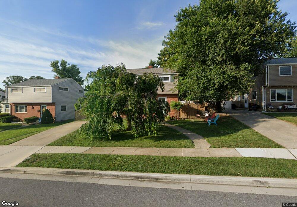
1220 Locust Ave Halethorpe, MD 21227
Estimated Value: $344,955 - $396,000
3
Beds
2
Baths
1,656
Sq Ft
$222/Sq Ft
Est. Value
About This Home
This home is located at 1220 Locust Ave, Halethorpe, MD 21227 and is currently estimated at $367,239, approximately $221 per square foot. 1220 Locust Ave is a home located in Baltimore County with nearby schools including Arbutus Elementary School, Arbutus Middle School, and Lansdowne High School.
Ownership History
Date
Name
Owned For
Owner Type
Purchase Details
Closed on
May 10, 2024
Sold by
Dackbar Llc
Bought by
Newton Dustin and Newton Stacy
Current Estimated Value
Purchase Details
Closed on
Apr 30, 2009
Sold by
Fultonberger Jennifer
Bought by
Newton Stacy and Newton Dustin
Purchase Details
Closed on
Sep 30, 2004
Sold by
Simister William A
Bought by
Fultonberger Jennifer and Brooks Lisa
Purchase Details
Closed on
Dec 2, 1999
Sold by
Sullivan Dennis Martin
Bought by
Simister William A and Waters Shannon T
Create a Home Valuation Report for This Property
The Home Valuation Report is an in-depth analysis detailing your home's value as well as a comparison with similar homes in the area
Home Values in the Area
Average Home Value in this Area
Purchase History
| Date | Buyer | Sale Price | Title Company |
|---|---|---|---|
| Newton Dustin | $1,600 | None Listed On Document | |
| Newton Stacy | $253,000 | -- | |
| Fultonberger Jennifer | $231,000 | -- | |
| Simister William A | $112,500 | -- |
Source: Public Records
Tax History
| Year | Tax Paid | Tax Assessment Tax Assessment Total Assessment is a certain percentage of the fair market value that is determined by local assessors to be the total taxable value of land and additions on the property. | Land | Improvement |
|---|---|---|---|---|
| 2025 | $4,178 | $276,900 | -- | -- |
| 2024 | $4,178 | $262,500 | $80,400 | $182,100 |
| 2023 | $2,175 | $253,300 | $0 | $0 |
| 2022 | $3,535 | $244,100 | $0 | $0 |
| 2021 | $3,779 | $234,900 | $60,400 | $174,500 |
| 2020 | $3,779 | $229,333 | $0 | $0 |
| 2019 | $3,638 | $223,767 | $0 | $0 |
| 2018 | $3,471 | $218,200 | $60,400 | $157,800 |
| 2017 | $3,271 | $211,867 | $0 | $0 |
| 2016 | $3,622 | $205,533 | $0 | $0 |
| 2015 | $3,622 | $199,200 | $0 | $0 |
| 2014 | $3,622 | $199,200 | $0 | $0 |
Source: Public Records
Map
Nearby Homes
- 1204 Birch Ave
- 1211 Poplar Ave
- 5402 Council St
- 1258 Linden Ave
- 1207 Brewster St
- 5522 Ashbourne Rd
- 5521 Willys Ave
- 1212 Seven Oaks Rd
- 1416 Sulphur Spring Rd
- 1009 Circle Dr
- 1078 Downton Rd
- 5605 Oregon Ave
- 1027 Downton Rd
- 1015 Stormont Cir
- 0 Dewitt Rd
- 933 Elm Rd
- 927 Grovehill Rd
- 1236 Elm Ridge Ave
- 951 Elm Ridge Ave
- 901 Grovehill Rd
- 1222 Locust Ave
- 1218 Locust Ave
- 1216 Locust Ave
- 1224 Locust Ave
- 1223 Poplar Ave
- 1221 Poplar Ave
- 1225 Poplar Ave
- 1219 Poplar Ave
- 1215 Locust Ave
- 1209 Poplar Ave
- 1217 Locust Ave
- 1214 Locust Ave
- 1227 Poplar Ave
- 1217 Poplar Ave
- 1219 Locust Ave
- 1207 Poplar Ave
- 1212 Locust Ave
- 1202 Birch Ave
- 1215 Poplar Ave
- 1213 Locust Ave
Your Personal Tour Guide
Ask me questions while you tour the home.