1220 Shore Line Dr Tignall, GA 30668
Estimated Value: $223,936 - $331,000
3
Beds
2
Baths
1,296
Sq Ft
$219/Sq Ft
Est. Value
About This Home
This home is located at 1220 Shore Line Dr, Tignall, GA 30668 and is currently estimated at $283,984, approximately $219 per square foot. 1220 Shore Line Dr is a home with nearby schools including Lincoln County Elementary School, Lincoln County Middle School, and Lincoln County High School.
Ownership History
Date
Name
Owned For
Owner Type
Purchase Details
Closed on
Sep 26, 1995
Sold by
Rodgers Linda M and Rodgers Harvey L
Bought by
Rodgers Linda M
Current Estimated Value
Purchase Details
Closed on
Mar 15, 1994
Sold by
Key Frances Beam
Bought by
Rodgers Linda M and Rodgers Harvey L
Purchase Details
Closed on
Nov 3, 1992
Sold by
Carnes Larry D
Bought by
Key Frances Beam
Purchase Details
Closed on
Jun 27, 1990
Sold by
Key Frances Beam
Bought by
Carnes Larry D
Purchase Details
Closed on
Dec 20, 1979
Sold by
Key Key J and Key Frances B
Bought by
Key Frances Beam
Create a Home Valuation Report for This Property
The Home Valuation Report is an in-depth analysis detailing your home's value as well as a comparison with similar homes in the area
Home Values in the Area
Average Home Value in this Area
Purchase History
| Date | Buyer | Sale Price | Title Company |
|---|---|---|---|
| Rodgers Linda M | -- | -- | |
| Rodgers Linda M | $27,000 | -- | |
| Key Frances Beam | -- | -- | |
| Carnes Larry D | $44,500 | -- | |
| Key Frances Beam | -- | -- |
Source: Public Records
Tax History Compared to Growth
Tax History
| Year | Tax Paid | Tax Assessment Tax Assessment Total Assessment is a certain percentage of the fair market value that is determined by local assessors to be the total taxable value of land and additions on the property. | Land | Improvement |
|---|---|---|---|---|
| 2025 | $1,373 | $44,056 | $17,920 | $26,136 |
| 2024 | $1,331 | $42,056 | $17,920 | $24,136 |
| 2023 | $739 | $37,856 | $17,920 | $19,936 |
| 2022 | $1,103 | $37,216 | $17,920 | $19,296 |
| 2021 | $1,153 | $35,676 | $17,920 | $17,756 |
| 2020 | $1,112 | $29,636 | $17,920 | $11,716 |
| 2019 | $1,116 | $29,636 | $17,920 | $11,716 |
| 2018 | $914 | $29,076 | $17,920 | $11,156 |
| 2017 | $922 | $29,320 | $13,440 | $15,880 |
| 2016 | $1,035 | $29,320 | $13,440 | $15,880 |
| 2015 | -- | $29,320 | $13,440 | $15,880 |
| 2014 | -- | $29,320 | $13,440 | $15,880 |
| 2013 | -- | $29,320 | $13,440 | $15,880 |
Source: Public Records
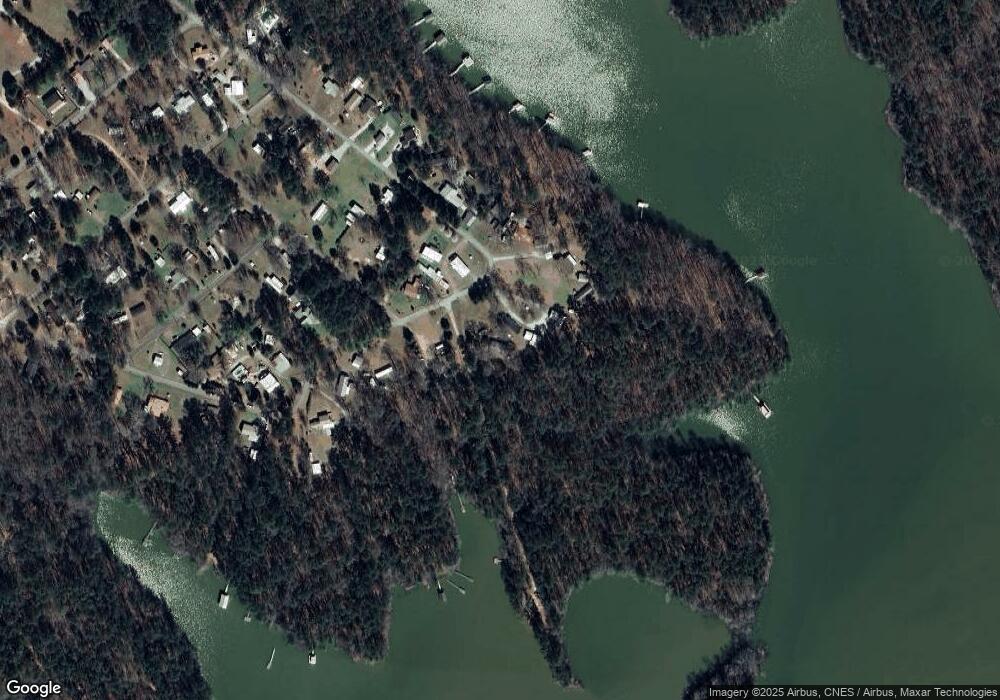
Map
Nearby Homes
- 1051 Macdonald St
- 1277 Edge Ln
- 1235 Edge Ln
- 1229 Edge Ln
- 1223 Edge Ln
- 12 Doe Run
- 1210 Edge Ln
- 1217 Edge Ln
- 1039 Merganser Cove
- 1070 Cody Trail
- 07 Savannah Bay Dr
- 06 Savannah Bay Dr
- 10B Savannah Bay Dr
- 1252 Rogers Rd
- 1103 Winding Ridge Dr
- 0 Doe Dr
- 0 Outrigger Dr Unit 550086
- 1120 Hardwood Dr
- 1139 Hester S Ferry Rd
- 1071 Outrigger Dr
- 1226 Shore Line Dr
- 1235 Shore Line Dr
- 1209 Shore Line Dr
- 1194 Shore Line Dr
- 1255 Shore Line Dr
- 1180 Shore Line Dr
- 1232 Shore Line Dr
- 1238 Shore Line Dr
- 1242 Shore Line Dr
- 1051 Camden St
- 1162 Shore Line Dr
- 1264 Shore Line Dr
- 1039 Camden St
- 1169 Shore Line Dr
- 1150 Shore Line Dr
- 1040 Camden St
- 1039 Camden Way
- 1039 Camden St
- 1278 Shore Line Dr
- 1117 Shore Line Dr