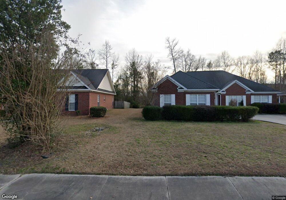
1220 Waxwing Dr Florence, SC 29505
Estimated Value: $241,610 - $291,000
3
Beds
2
Baths
1,790
Sq Ft
$150/Sq Ft
Est. Value
About This Home
This home is located at 1220 Waxwing Dr, Florence, SC 29505 and is currently estimated at $268,403, approximately $149 per square foot. 1220 Waxwing Dr is a home located in Florence County with nearby schools including McLaurin Elementary School, Southside Middle School, and South Florence High School.
Ownership History
Date
Name
Owned For
Owner Type
Purchase Details
Closed on
Jan 8, 2007
Sold by
Young Tamara Lynn
Bought by
Nell Jo Nathan
Current Estimated Value
Home Financials for this Owner
Home Financials are based on the most recent Mortgage that was taken out on this home.
Original Mortgage
$159,300
Outstanding Balance
$94,400
Interest Rate
6.06%
Mortgage Type
Purchase Money Mortgage
Estimated Equity
$174,003
Purchase Details
Closed on
Jul 26, 2002
Sold by
Dailey Development Inc
Bought by
Young Tamara Lynn
Create a Home Valuation Report for This Property
The Home Valuation Report is an in-depth analysis detailing your home's value as well as a comparison with similar homes in the area
Home Values in the Area
Average Home Value in this Area
Purchase History
| Date | Buyer | Sale Price | Title Company |
|---|---|---|---|
| Nell Jo Nathan | $177,000 | None Available | |
| Young Tamara Lynn | $155,000 | -- |
Source: Public Records
Mortgage History
| Date | Status | Borrower | Loan Amount |
|---|---|---|---|
| Open | Nell Jo Nathan | $159,300 |
Source: Public Records
Tax History Compared to Growth
Tax History
| Year | Tax Paid | Tax Assessment Tax Assessment Total Assessment is a certain percentage of the fair market value that is determined by local assessors to be the total taxable value of land and additions on the property. | Land | Improvement |
|---|---|---|---|---|
| 2024 | $830 | $9,649 | $1,280 | $8,369 |
| 2023 | $749 | $7,034 | $1,280 | $5,754 |
| 2022 | $844 | $7,034 | $1,280 | $5,754 |
| 2021 | $920 | $7,030 | $0 | $0 |
| 2020 | $825 | $7,030 | $0 | $0 |
| 2019 | $769 | $7,034 | $1,280 | $5,754 |
| 2018 | $727 | $7,030 | $0 | $0 |
| 2017 | $689 | $7,030 | $0 | $0 |
| 2016 | $640 | $7,030 | $0 | $0 |
| 2015 | $669 | $7,030 | $0 | $0 |
| 2014 | $578 | $7,034 | $1,280 | $5,754 |
Source: Public Records
Map
Nearby Homes
- 2141 Elderberry Dr
- 1193 Waxwing Dr
- 2211 Amberleigh Ct
- 1189 Waxwing Dr
- 1311 Queens Ferry Rd
- 1110 3rd Loop Rd
- 1914 Brigadoone Ln
- 1717 Full Moon Rd
- 1807 Nottingham Dr
- 920 Charlestowne Blvd
- 1804 Woods Dr
- 1971 S Mcclellan St
- 1768 Marsh Ave
- 926 3rd Loop Rd
- 922 3rd Loop Rd
- 2369 S Hallmark Dr
- 1770 Woods Dr
- 1880 S Walter Dr
- 1779 S Saint Anthony Ave
- 1871 Jason Dr
- 1216 Waxwing Dr
- 1224 Waxwing Dr
- 1189 Waxwing Dive Apt F
- 1212 Waxwing Dr
- 1228 Waxwing Dr
- 1217 Waxwing Dr
- 2149 Sumac Dr
- 1213 Waxwing Dr
- 1208 Waxwing Dr
- 2145 Sumac Dr
- 1232 Waxwing Dr
- 2157 Elderberry Dr
- 2144 Sumac Dr
- 2148 Loquat Dr
- 2141 Sumac Dr
- 2153 Elderberry Dr
- 1204 Waxwing Dr
- 2144 Loquat Dr
- 1236 Waxwing Dr
- 2140 Sumac Dr