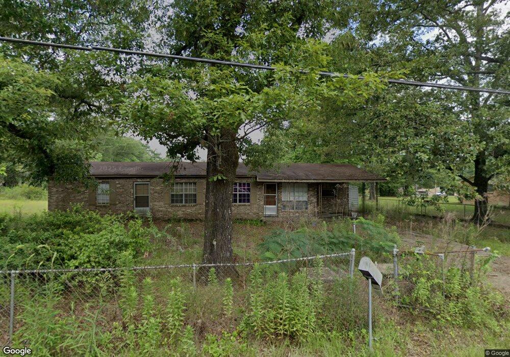
1220 Wilson St McComb, MS 39648
Estimated Value: $68,000 - $109,000
--
Bed
1
Bath
1,838
Sq Ft
$50/Sq Ft
Est. Value
About This Home
This home is located at 1220 Wilson St, McComb, MS 39648 and is currently estimated at $91,753, approximately $49 per square foot. 1220 Wilson St is a home with nearby schools including Higgins Middle School, Otken Elementary School, and Denman Junior High School.
Ownership History
Date
Name
Owned For
Owner Type
Purchase Details
Closed on
Nov 20, 2024
Sold by
Pty Sec and Fig 20 Llc
Bought by
Craft Portia
Current Estimated Value
Purchase Details
Closed on
Nov 19, 2024
Sold by
Buie Becky
Bought by
Fig 20 Llc and Pty Sec
Purchase Details
Closed on
Jul 5, 2011
Sold by
Martin Jessie
Bought by
Booker Sydell
Create a Home Valuation Report for This Property
The Home Valuation Report is an in-depth analysis detailing your home's value as well as a comparison with similar homes in the area
Home Values in the Area
Average Home Value in this Area
Purchase History
| Date | Buyer | Sale Price | Title Company |
|---|---|---|---|
| Craft Portia | -- | None Listed On Document | |
| Craft Portia | -- | None Listed On Document | |
| Fig 20 Llc | $1,461 | None Listed On Document | |
| Fig 20 Llc | $1,461 | None Listed On Document | |
| Booker Sydell | -- | None Available |
Source: Public Records
Tax History Compared to Growth
Tax History
| Year | Tax Paid | Tax Assessment Tax Assessment Total Assessment is a certain percentage of the fair market value that is determined by local assessors to be the total taxable value of land and additions on the property. | Land | Improvement |
|---|---|---|---|---|
| 2025 | $1,281 | $8,208 | $0 | $0 |
| 2024 | $1,281 | $7,176 | $0 | $0 |
| 2023 | $1,267 | $7,176 | $0 | $0 |
| 2022 | $1,249 | $7,176 | $0 | $0 |
| 2021 | $1,245 | $7,176 | $0 | $0 |
| 2020 | $1,339 | $7,712 | $0 | $0 |
| 2019 | $1,281 | $7,712 | $0 | $0 |
| 2018 | $1,243 | $7,712 | $0 | $0 |
| 2017 | $1,251 | $7,712 | $0 | $0 |
| 2016 | $1,241 | $7,712 | $0 | $0 |
| 2015 | $1,229 | $7,668 | $0 | $0 |
| 2014 | -- | $7,668 | $0 | $0 |
| 2013 | -- | $5,112 | $0 | $0 |
Source: Public Records
Map
Nearby Homes
- 1002 Pershing St
- 730 Vogel St
- 0 Morgantown Rd Unit 4125975
- 505 S Magnolia St
- 0 Old 24 Hwy
- 1148 Morgantown Rd
- 1102 Pearl River Ave
- 1004 Van Norman Curve
- 1019 Pearl River Avenue Extension
- 1031 Pearl River Ave
- 1041 Van Norman Curve
- 133 N Chestnut St
- 425 S Broadway St
- 133 N Live Oak St
- 617 Edgar St
- 214 Thompson St
- 823 Edgar St
- 143 N Myrtle St
- 1002 Avenue F None
- 1002 Avenue F
- 907 S Locust St Unit STE B
- 907 S Locust St Unit STE A
- 907 S Locust St Unit STE
- 907 S Locust St
- 709 S Locust St
- 805 S Locust St
- 1224 Wilson St
- N/A 900 S Locust St
- 900 S Locust St
- 1211 Wilson St
- 1223 Wilson St
- 778 Wilson St
- 1042 Wilson St
- 1200 Wilson St
- 1209 Wilson St
- 701 S Locust St
- 1054 Wilson St
- 802 S Locust St
- 902 S Locust St
- 1228 Wilson St