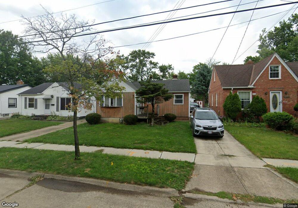
12201 Longmead Ave Cleveland, OH 44135
Bellaire-Puritas NeighborhoodEstimated Value: $101,291 - $135,000
2
Beds
1
Bath
835
Sq Ft
$140/Sq Ft
Est. Value
About This Home
This home is located at 12201 Longmead Ave, Cleveland, OH 44135 and is currently estimated at $116,823, approximately $139 per square foot. 12201 Longmead Ave is a home located in Cuyahoga County with nearby schools including Artemus Ward School, Almira Academy, and Benjamin Franklin.
Ownership History
Date
Name
Owned For
Owner Type
Purchase Details
Closed on
May 6, 1992
Sold by
Mueller Paul
Bought by
Kump Jeffrey A
Current Estimated Value
Purchase Details
Closed on
Dec 3, 1986
Sold by
Mueller Paul
Bought by
Mueller Paul
Purchase Details
Closed on
Oct 27, 1980
Sold by
Bledsoe Ivan Ray and Bledsoe Dolly
Bought by
Mueller Paul
Purchase Details
Closed on
Sep 24, 1975
Sold by
Carol M
Bought by
Bledsoe Ivan Ray and Bledsoe Dolly
Purchase Details
Closed on
Jan 1, 1975
Bought by
Carol M
Create a Home Valuation Report for This Property
The Home Valuation Report is an in-depth analysis detailing your home's value as well as a comparison with similar homes in the area
Home Values in the Area
Average Home Value in this Area
Purchase History
| Date | Buyer | Sale Price | Title Company |
|---|---|---|---|
| Kump Jeffrey A | $57,000 | -- | |
| Mueller Paul | -- | -- | |
| Mueller Paul | $31,000 | -- | |
| Bledsoe Ivan Ray | $16,000 | -- | |
| Carol M | -- | -- |
Source: Public Records
Tax History Compared to Growth
Tax History
| Year | Tax Paid | Tax Assessment Tax Assessment Total Assessment is a certain percentage of the fair market value that is determined by local assessors to be the total taxable value of land and additions on the property. | Land | Improvement |
|---|---|---|---|---|
| 2024 | $1,634 | $24,920 | $7,210 | $17,710 |
| 2023 | $1,503 | $19,820 | $4,240 | $15,580 |
| 2022 | $1,495 | $19,810 | $4,240 | $15,580 |
| 2021 | $1,480 | $19,810 | $4,240 | $15,580 |
| 2020 | $1,327 | $15,370 | $3,290 | $12,080 |
| 2019 | $1,227 | $43,900 | $9,400 | $34,500 |
| 2018 | $1,223 | $15,370 | $3,290 | $12,080 |
| 2017 | $1,383 | $16,770 | $3,290 | $13,480 |
| 2016 | $1,372 | $16,770 | $3,290 | $13,480 |
| 2015 | $1,498 | $16,770 | $3,290 | $13,480 |
| 2014 | $1,498 | $18,240 | $3,570 | $14,670 |
Source: Public Records
Map
Nearby Homes
- 12010 Longmead Ave
- 12518 Erwin Ave
- 12009 Mcgowan Ave
- 12512 Mcgowan Ave
- 12701 Milligan Ave
- 11729 Erwin Ave
- 12301 Carrington Ave
- 12519 Carrington Ave
- 12923 Lena Ave
- 12507 Astor Ave
- 12804 Astor Ave
- 13210 Carrington Ave
- 13104 Astor Ave
- 4329 W 131st St
- 4349 W 132nd St
- 12510 Grimsby Ave
- 13401 Puritas Ave
- 12620 Grimsby Ave
- 13410 Wainfleet Ave
- 12508 Sobieski Ave
- 12205 Longmead Ave
- 12117 Longmead Ave
- 12209 Longmead Ave
- 12111 Longmead Ave
- 12215 Longmead Ave
- 12107 Longmead Ave
- 12118 Milligan Ave
- 12200 Milligan Ave
- 12114 Milligan Ave
- 12301 Longmead Ave
- 12103 Longmead Ave
- 12204 Milligan Ave
- 12110 Milligan Ave
- 12208 Milligan Ave
- 12108 Milligan Ave
- 12307 Longmead Ave
- 12212 Milligan Ave
- 12200 Longmead Ave
- 12204 Longmead Ave
- 12116 Longmead Ave