12202 S 1100 W Wanatah, IN 46390
Estimated Value: $138,460 - $238,000
2
Beds
1
Bath
1,005
Sq Ft
$168/Sq Ft
Est. Value
About This Home
This home is located at 12202 S 1100 W, Wanatah, IN 46390 and is currently estimated at $168,615, approximately $167 per square foot. 12202 S 1100 W is a home located in LaPorte County.
Ownership History
Date
Name
Owned For
Owner Type
Purchase Details
Closed on
Jan 11, 2022
Sold by
Kaiser Phillip D
Bought by
Scott Bryce
Current Estimated Value
Home Financials for this Owner
Home Financials are based on the most recent Mortgage that was taken out on this home.
Original Mortgage
$3,850
Interest Rate
3.05%
Mortgage Type
New Conventional
Purchase Details
Closed on
Oct 23, 2017
Sold by
Kaiser Phillip and Kaiser Pat
Bought by
Kaiser Phillip D and Kaiser Patricia L
Home Financials for this Owner
Home Financials are based on the most recent Mortgage that was taken out on this home.
Original Mortgage
$54,000
Interest Rate
3.83%
Mortgage Type
New Conventional
Purchase Details
Closed on
Aug 3, 2017
Sold by
Kaiser Phillip and Pease Pat
Bought by
Buckman Sean M
Purchase Details
Closed on
Feb 17, 2017
Sold by
Daloisio Anthony and Daloisio Melissa S
Bought by
Kaiser Phillip and Pease Pat
Purchase Details
Closed on
Aug 17, 2006
Sold by
Barnard Carolyn E
Bought by
Daloisio Anthony and Daloisio Melissa S
Home Financials for this Owner
Home Financials are based on the most recent Mortgage that was taken out on this home.
Original Mortgage
$84,000
Interest Rate
8.95%
Mortgage Type
Unknown
Create a Home Valuation Report for This Property
The Home Valuation Report is an in-depth analysis detailing your home's value as well as a comparison with similar homes in the area
Home Values in the Area
Average Home Value in this Area
Purchase History
| Date | Buyer | Sale Price | Title Company |
|---|---|---|---|
| Scott Bryce | $110,000 | Drake Andrew R | |
| Kaiser Phillip D | -- | None Available | |
| Kaiser Phillip D | -- | None Available | |
| Buckman Sean M | -- | Fidelity National Title | |
| Kaiser Phillip | -- | None Available | |
| Daloisio Anthony | $68,000 | Community Title Company |
Source: Public Records
Mortgage History
| Date | Status | Borrower | Loan Amount |
|---|---|---|---|
| Closed | Scott Bryce | $3,850 | |
| Open | Scott Bryce | $108,007 | |
| Previous Owner | Kaiser Phillip D | $54,000 | |
| Previous Owner | Daloisio Anthony | $84,000 |
Source: Public Records
Tax History Compared to Growth
Tax History
| Year | Tax Paid | Tax Assessment Tax Assessment Total Assessment is a certain percentage of the fair market value that is determined by local assessors to be the total taxable value of land and additions on the property. | Land | Improvement |
|---|---|---|---|---|
| 2024 | $469 | $105,000 | $33,800 | $71,200 |
| 2023 | $390 | $90,900 | $25,400 | $65,500 |
| 2022 | $1,134 | $90,400 | $25,400 | $65,000 |
| 2021 | $1,134 | $70,700 | $13,300 | $57,400 |
| 2020 | $1,064 | $70,700 | $13,300 | $57,400 |
| 2019 | $892 | $58,800 | $10,800 | $48,000 |
| 2018 | $1,196 | $81,600 | $23,300 | $58,300 |
| 2017 | $357 | $82,400 | $25,600 | $56,800 |
| 2016 | $325 | $79,100 | $25,600 | $53,500 |
| 2014 | $429 | $92,200 | $25,600 | $66,600 |
Source: Public Records
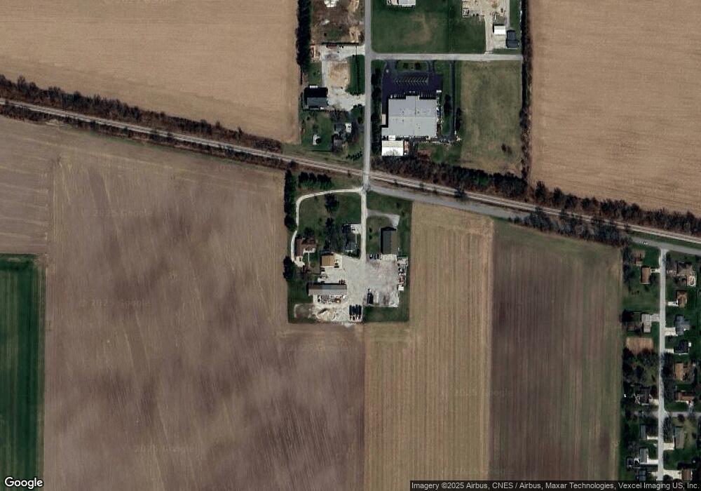
Map
Nearby Homes
- 207 N Washington St
- 106 N Illinois St Unit 266
- 104 W Cross St
- 305 N Ohio St
- 116 Sprunger Dr
- 105 Earl St
- 627 Fieldcrest Cir
- 0 W Hwy 30 Unit GNR545374
- 9552 S Bigelow Mill Rd
- 627 E 300 S
- 421 Amy Rose Ln
- 83 Kaper Ln
- 87 Kaper Ln
- 6465 W 1100 S
- 0 Porters Vale Blvd Unit GNR544918
- 0 St Road 2 Unit GNR544911
- 168 Jamestown Ave
- W 800 S V L
- 0 Parcel B 325 E
- 0 Parcel A 325 E
- 12222 S 1100 W
- 509 W First St
- 12172 S 1100 W
- 12011 S 1100 W
- 1092 Kabert Dr Unit 241785
- 1092 Kabert Dr Unit 275295
- 1092 Kabert Dr
- 11002 W Us Highway 30
- 102 Mayfield St
- 106 Mayfield St
- 12012 S 1100 W
- 11011 W 1250 S
- 11055 W 1250 S
- 101 Mayfield St
- 214 Mayfield St
- 204 Mayfield St
- 103 Mayfield St
- 105 Mayfield St
- 302 Mayfield St
- 107 Mayfield St