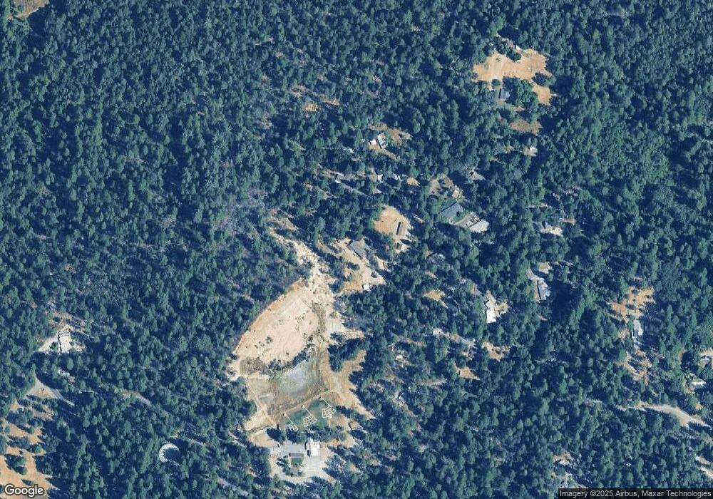
12208 Riffle Way Nevada City, CA 95959
Estimated Value: $299,000 - $507,000
2
Beds
2
Baths
1,248
Sq Ft
$326/Sq Ft
Est. Value
About This Home
This home is located at 12208 Riffle Way, Nevada City, CA 95959 and is currently estimated at $407,062, approximately $326 per square foot. 12208 Riffle Way is a home located in Nevada County with nearby schools including Deer Creek Elementary School, Seven Hills Intermediate School, and Twin Ridges Home Study Charter School.
Ownership History
Date
Name
Owned For
Owner Type
Purchase Details
Closed on
Oct 29, 2015
Sold by
Banks Judith E
Bought by
Harrison Martin Forrest and Harrison Amanda Raylene
Current Estimated Value
Home Financials for this Owner
Home Financials are based on the most recent Mortgage that was taken out on this home.
Original Mortgage
$135,000
Outstanding Balance
$106,256
Interest Rate
3.81%
Mortgage Type
New Conventional
Estimated Equity
$300,806
Purchase Details
Closed on
Aug 25, 2015
Sold by
Banks Judy
Bought by
Banks Banks Judith E Judith E
Purchase Details
Closed on
Nov 30, 2009
Sold by
Bezera Manuel D
Bought by
Banks Judy
Create a Home Valuation Report for This Property
The Home Valuation Report is an in-depth analysis detailing your home's value as well as a comparison with similar homes in the area
Home Values in the Area
Average Home Value in this Area
Purchase History
| Date | Buyer | Sale Price | Title Company |
|---|---|---|---|
| Harrison Martin Forrest | $175,000 | Placer Title Company | |
| Banks Banks Judith E Judith E | -- | None Available | |
| Banks Judy | -- | None Available |
Source: Public Records
Mortgage History
| Date | Status | Borrower | Loan Amount |
|---|---|---|---|
| Open | Harrison Martin Forrest | $135,000 |
Source: Public Records
Tax History Compared to Growth
Tax History
| Year | Tax Paid | Tax Assessment Tax Assessment Total Assessment is a certain percentage of the fair market value that is determined by local assessors to be the total taxable value of land and additions on the property. | Land | Improvement |
|---|---|---|---|---|
| 2025 | $2,310 | $207,158 | $59,186 | $147,972 |
| 2024 | $2,260 | $203,097 | $58,026 | $145,071 |
| 2023 | $2,260 | $199,116 | $56,889 | $142,227 |
| 2022 | $2,211 | $195,213 | $55,774 | $139,439 |
| 2021 | $2,144 | $191,386 | $54,681 | $136,705 |
| 2020 | $2,135 | $189,425 | $54,121 | $135,304 |
| 2019 | $2,090 | $185,711 | $53,060 | $132,651 |
| 2018 | $0 | $182,070 | $52,020 | $130,050 |
| 2017 | $2,005 | $178,500 | $51,000 | $127,500 |
| 2016 | $1,933 | $175,000 | $50,000 | $125,000 |
| 2015 | $1,529 | $136,080 | $34,397 | $101,683 |
| 2014 | $1,503 | $133,416 | $33,724 | $99,692 |
Source: Public Records
Map
Nearby Homes
- 11945 Rocker Rd
- 13492 Gracie Rd
- 10950 Banning Way
- 506 Silva Ave
- 10952 Northcote Place
- 11417 Red Dog Rd
- 11732 Forest View Dr
- 260 Boulder St
- 347 Nile St
- 101-107 New Mohawk Rd
- 10730 Jasper Agate Ct
- 11854 Tree Top Cir
- 11551 Forest View Dr
- 202 Gold Flat Rd
- 134 Boulder St
- 157 Grove St
- 12786 Mayflower Dr
- 181 Bost Ave
- 251 Willow Valley Rd Unit 17
- 12259 Echo Dr
- 12162 Riffle Way
- 12197 Poke Place
- 11464 Bedrock Dr
- 12158 Rocker Rd
- 12196 Rocker Rd
- 12215 Poke Place
- 11481 Bedrock Dr
- 11498 Bedrock Dr
- 12242 Rocker Rd
- 12163 Rocker Rd
- 12189 Rocker Rd
- 11550 Bedrock Dr
- 12641 Bedrock Dr
- 11532 Bedrock Dr
- 11433 Banner Mountain Trail
- 11516 Banner Mountain Trail
- 11630 Stillwater Creek Rd
