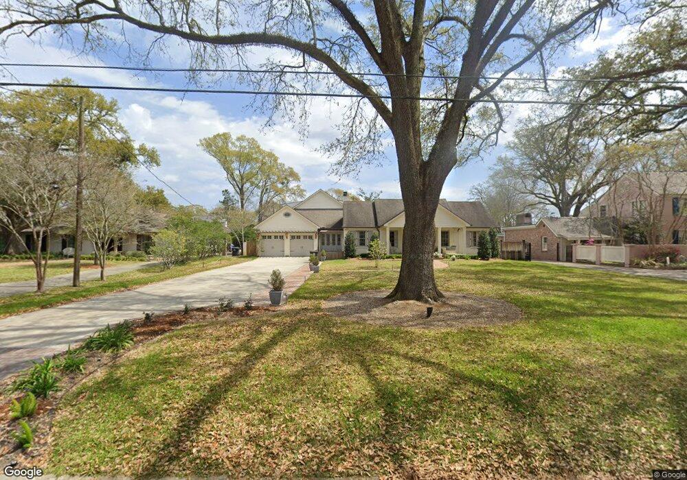
1221 Ingleside Dr Baton Rouge, LA 70806
Mid City South NeighborhoodEstimated Value: $674,000 - $890,409
--
Bed
--
Bath
3,289
Sq Ft
$239/Sq Ft
Est. Value
About This Home
This home is located at 1221 Ingleside Dr, Baton Rouge, LA 70806 and is currently estimated at $786,602, approximately $239 per square foot. 1221 Ingleside Dr is a home located in East Baton Rouge Parish with nearby schools including Bernard Terrace Elementary School, Westdale Middle School, and Tara High School.
Ownership History
Date
Name
Owned For
Owner Type
Purchase Details
Closed on
Jun 21, 2012
Sold by
Rowe Rj William C
Bought by
Rabalais Michael R
Current Estimated Value
Home Financials for this Owner
Home Financials are based on the most recent Mortgage that was taken out on this home.
Original Mortgage
$417,000
Outstanding Balance
$288,996
Interest Rate
3.83%
Mortgage Type
New Conventional
Estimated Equity
$497,606
Create a Home Valuation Report for This Property
The Home Valuation Report is an in-depth analysis detailing your home's value as well as a comparison with similar homes in the area
Home Values in the Area
Average Home Value in this Area
Purchase History
| Date | Buyer | Sale Price | Title Company |
|---|---|---|---|
| Rabalais Michael R | $795,000 | -- |
Source: Public Records
Mortgage History
| Date | Status | Borrower | Loan Amount |
|---|---|---|---|
| Open | Rabalais Michael R | $417,000 |
Source: Public Records
Tax History Compared to Growth
Tax History
| Year | Tax Paid | Tax Assessment Tax Assessment Total Assessment is a certain percentage of the fair market value that is determined by local assessors to be the total taxable value of land and additions on the property. | Land | Improvement |
|---|---|---|---|---|
| 2024 | $7,826 | $73,550 | $8,000 | $65,550 |
| 2023 | $7,826 | $73,550 | $8,000 | $65,550 |
| 2022 | $8,782 | $73,550 | $8,000 | $65,550 |
| 2021 | $8,581 | $73,550 | $8,000 | $65,550 |
| 2020 | $8,525 | $73,550 | $8,000 | $65,550 |
| 2019 | $8,908 | $73,550 | $8,000 | $65,550 |
| 2018 | $8,798 | $73,550 | $8,000 | $65,550 |
| 2017 | $8,798 | $73,550 | $8,000 | $65,550 |
| 2016 | $7,802 | $73,550 | $8,000 | $65,550 |
| 2015 | $7,808 | $73,550 | $8,000 | $65,550 |
| 2014 | $7,780 | $73,550 | $8,000 | $65,550 |
| 2013 | -- | $73,550 | $8,000 | $65,550 |
Source: Public Records
Map
Nearby Homes
- 1321 Richland Ave
- 765 Longwood Dr
- 4608 Capital Heights Ave
- 748 Richland Ave
- 720 Richland Ave
- Lot 30 Capital Heights Ave Unit 30
- 1547 Avondale Dr
- 544 Wiltz Dr
- 544 Wiltz Dr Unit 3
- Lot CH-1-B Bienville St
- 1454 Ormandy Dr
- 728 Steele Blvd
- 3955 Chatfield Ave
- 4900 Claycut Rd Unit 43C
- 1932 Glenmore Ave
- 1958 Ingleside Dr
- 3544 Marie Dr Unit 3544
- 734 Caddo St
- 3701 Capital Heights Ave
- 405 Glenmore Ave
- 1245 Ingleside Dr
- 1165 Ingleside Dr
- 1267 Ingleside Dr
- 1153 Ingleside Dr
- 1226 Longwood Dr
- 1222 Ingleside Dr
- 1184 Longwood Dr
- 0 Ingleside Dr Unit 201208805
- 1250 Longwood Dr
- 1244 Ingleside Dr
- 1166 Ingleside Dr
- 1125 Ingleside Dr
- 1280 Longwood Dr
- 1166 Longwood Dr
- 1152 Ingleside Dr
- 1274 Ingleside Dr
- 4333 Broussard St
- 4317 Broussard St
- 4353 Broussard St
- 1130 Longwood Dr