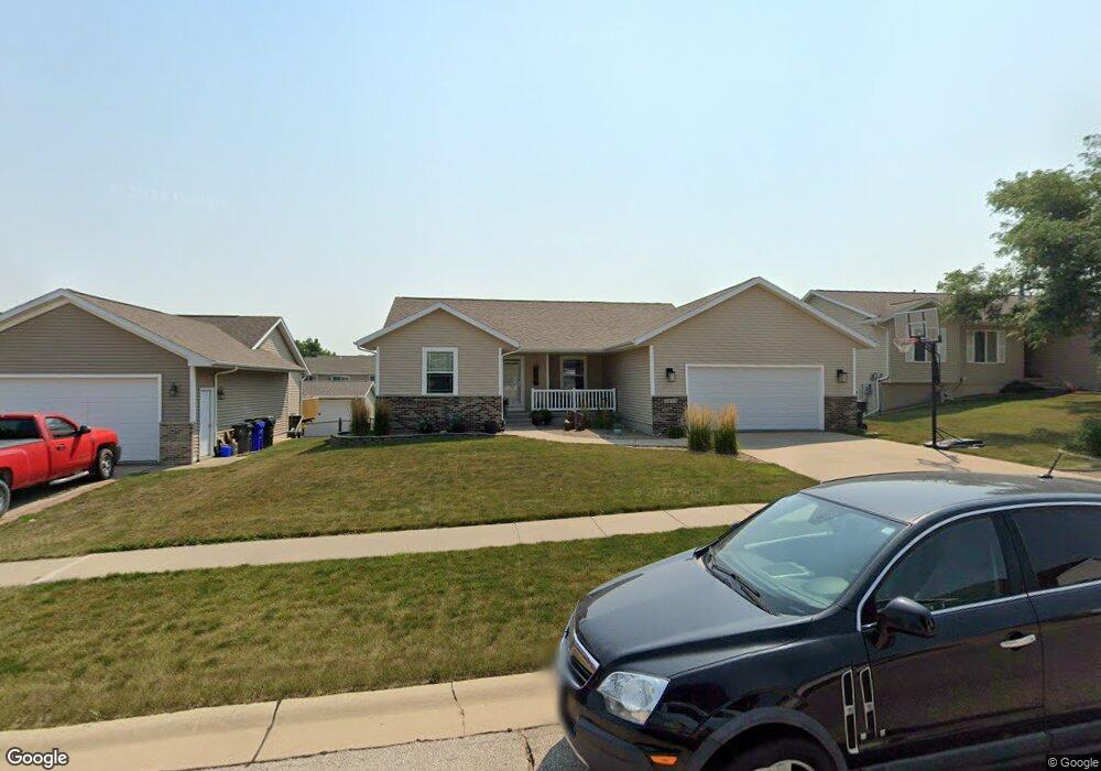
1221 Koudsi Blvd NW Cedar Rapids, IA 52405
Estimated Value: $291,707 - $336,000
4
Beds
2
Baths
1,356
Sq Ft
$231/Sq Ft
Est. Value
About This Home
This home is located at 1221 Koudsi Blvd NW, Cedar Rapids, IA 52405 and is currently estimated at $313,427, approximately $231 per square foot. 1221 Koudsi Blvd NW is a home located in Linn County with nearby schools including Maple Grove Elementary School, Taft Middle School, and John F. Kennedy High School.
Ownership History
Date
Name
Owned For
Owner Type
Purchase Details
Closed on
Sep 11, 2006
Sold by
Building Concepts Inc
Bought by
Hampton Michael Bryce and Hampton Nicole M
Current Estimated Value
Home Financials for this Owner
Home Financials are based on the most recent Mortgage that was taken out on this home.
Original Mortgage
$140,746
Outstanding Balance
$84,983
Interest Rate
6.77%
Mortgage Type
Unknown
Estimated Equity
$228,444
Create a Home Valuation Report for This Property
The Home Valuation Report is an in-depth analysis detailing your home's value as well as a comparison with similar homes in the area
Purchase History
| Date | Buyer | Sale Price | Title Company |
|---|---|---|---|
| Hampton Michael Bryce | $175,500 | None Available |
Source: Public Records
Mortgage History
| Date | Status | Borrower | Loan Amount |
|---|---|---|---|
| Open | Hampton Michael Bryce | $140,746 |
Source: Public Records
Tax History
| Year | Tax Paid | Tax Assessment Tax Assessment Total Assessment is a certain percentage of the fair market value that is determined by local assessors to be the total taxable value of land and additions on the property. | Land | Improvement |
|---|---|---|---|---|
| 2025 | $4,638 | $296,600 | $58,000 | $238,600 |
| 2024 | $4,732 | $272,500 | $54,700 | $217,800 |
| 2023 | $4,732 | $272,500 | $54,700 | $217,800 |
| 2022 | $4,508 | $233,200 | $48,100 | $185,100 |
| 2021 | $4,614 | $226,600 | $41,500 | $185,100 |
| 2020 | $4,614 | $217,700 | $41,500 | $176,200 |
| 2019 | $4,082 | $197,900 | $33,200 | $164,700 |
Source: Public Records
Map
Nearby Homes
- 1211 Wolf Dr NW
- 4341 Beecher Ct NW
- 1722 Gardner Dr NW
- 1608 Morris Ave NW
- 4524 E Ave NW
- 1209 39th Street Rd NW
- 602 Olive Dr NW
- 3802 Richland Dr NW
- 408 Jacolyn Dr NW
- 410 Wiley Blvd NW
- 332 Bezdek Dr NW
- 448 Day St NW
- 408 Day St NW
- 332 Carter St NW
- 281 Jacolyn Dr NW
- 327* Edgewood Rd NW
- 456 Mayberry Dr NW
- 3407 H Ave NW
- 1632 Elaine Dr NW
- 3503 East Ave NW
- 1215 Koudsi Blvd NW
- 1229 Koudsi Blvd NW
- 1214 Wolf Dr NW
- 1301 Koudsi Blvd NW
- 1209 Koudsi Blvd NW
- 1208 Wolf Dr NW
- 1220 Wolf Dr NW
- 1222 Koudsi Blvd NW
- 1202 Wolf Dr NW
- 1228 Koudsi Blvd NW
- 1203 Koudsi Blvd NW
- 1226 Wolf Dr NW
- 1216 Koudsi Blvd NW
- 1307 Koudsi Blvd NW
- 1302 Koudsi Blvd NW
- 1124 Wolf Dr NW
- 1208 Koudsi Blvd NW
- 1125 Koudsi Blvd NW
- 1308 Koudsi Blvd NW
- 1118 Wolf Dr NW
Your Personal Tour Guide
Ask me questions while you tour the home.