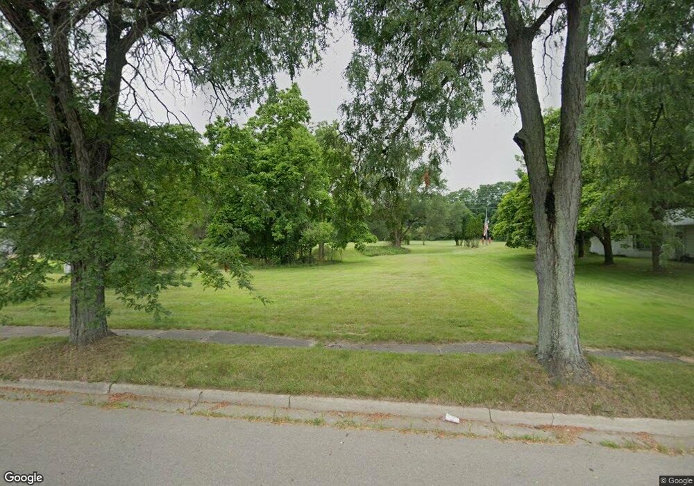
1221 Mallory St Albion, MI 49224
Estimated Value: $72,000 - $310,000
2
Beds
1
Bath
723
Sq Ft
$264/Sq Ft
Est. Value
About This Home
This home is located at 1221 Mallory St, Albion, MI 49224 and is currently estimated at $191,000, approximately $264 per square foot. 1221 Mallory St is a home located in Calhoun County with nearby schools including Harrington Elementary School, Lakeside Charter School - Albion, and St. John School.
Ownership History
Date
Name
Owned For
Owner Type
Purchase Details
Closed on
Dec 15, 2014
Sold by
Calhoun County Treasurer
Bought by
Calhoun County Land Bank Authority
Current Estimated Value
Purchase Details
Closed on
Oct 26, 2011
Sold by
Calhoun County Treasurer
Bought by
Stults Dorothy L
Purchase Details
Closed on
Nov 16, 2006
Sold by
Calhoun County Treasurer
Bought by
Tlc Monopoly Properties Llc
Purchase Details
Closed on
Oct 6, 1998
Sold by
Welch Elijah and Welch Annie L
Bought by
Welch Thelma
Create a Home Valuation Report for This Property
The Home Valuation Report is an in-depth analysis detailing your home's value as well as a comparison with similar homes in the area
Home Values in the Area
Average Home Value in this Area
Purchase History
| Date | Buyer | Sale Price | Title Company |
|---|---|---|---|
| Calhoun County Land Bank Authority | -- | None Available | |
| Stults Dorothy L | $300 | None Available | |
| Tlc Monopoly Properties Llc | $2,200 | None Available | |
| Welch Thelma | $8,000 | -- |
Source: Public Records
Tax History Compared to Growth
Tax History
| Year | Tax Paid | Tax Assessment Tax Assessment Total Assessment is a certain percentage of the fair market value that is determined by local assessors to be the total taxable value of land and additions on the property. | Land | Improvement |
|---|---|---|---|---|
| 2025 | -- | $0 | $0 | $0 |
| 2024 | -- | $0 | $0 | $0 |
| 2023 | -- | $0 | $0 | $0 |
| 2022 | $0 | $0 | $0 | $0 |
| 2021 | $0 | $0 | $0 | $0 |
| 2020 | $0 | $0 | $0 | $0 |
| 2019 | $0 | $0 | $0 | $0 |
| 2018 | $0 | $0 | $0 | $0 |
| 2017 | $0 | $0 | $0 | $0 |
| 2016 | $0 | $0 | $0 | $0 |
| 2015 | -- | $0 | $0 | $0 |
| 2014 | -- | $11,200 | $0 | $0 |
Source: Public Records
Map
Nearby Homes
- 1018 Jefferson St
- 1016 Jefferson St
- 1020 Jefferson St
- 1010 Jefferson St
- 1006 Jefferson St
- 1004 Jefferson St
- 1015 N Albion St
- 1013 N Albion St
- 1003 N Albion St
- 1006 N Albion St
- 1004 N Albion St
- 1002 Austin Ave
- 1337 N Eaton St
- 613 Williams St
- 1000 Industrial Blvd
- 206 W North St
- 1112 Wiener Dr
- 915 N Clinton St
- 1190 Primrose Ct
- 614 N Ann St
- 801 W Broadwell St
- 1217 Mallory St
- 807 W Broadwell St
- 1301 Cooper St
- 1216 Mallory St
- 1213 Mallory St
- 808 W Broadwell St
- 1208 Mallory St
- 1303 Cooper St
- 1209 Mallory St
- 1304 Dean Dr
- 1206 Mallory St
- 1305 Cooper St
- 1205 Mallory St
- 1204 State St
- 1306 Dean Dr
- 1017 Jefferson St
- 1019 Jefferson St
- 1015 Jefferson St
- 1308 Dean Dr
