1221 Prairie View Cir Hutchinson, MN 55350
Estimated Value: $262,000 - $298,000
3
Beds
2
Baths
1,095
Sq Ft
$258/Sq Ft
Est. Value
About This Home
This home is located at 1221 Prairie View Cir, Hutchinson, MN 55350 and is currently estimated at $282,165, approximately $257 per square foot. 1221 Prairie View Cir is a home located in McLeod County with nearby schools including Hutchinson West Elementary School, Hutchinson Park Elementary School, and Hutchinson Middle School.
Ownership History
Date
Name
Owned For
Owner Type
Purchase Details
Closed on
Jul 12, 2024
Sold by
Stutelberg Danny
Bought by
Bomstad Derek and Bomstad Abby
Current Estimated Value
Home Financials for this Owner
Home Financials are based on the most recent Mortgage that was taken out on this home.
Original Mortgage
$184,000
Outstanding Balance
$181,819
Interest Rate
7.03%
Mortgage Type
New Conventional
Estimated Equity
$100,346
Create a Home Valuation Report for This Property
The Home Valuation Report is an in-depth analysis detailing your home's value as well as a comparison with similar homes in the area
Home Values in the Area
Average Home Value in this Area
Purchase History
| Date | Buyer | Sale Price | Title Company |
|---|---|---|---|
| Bomstad Derek | $230,000 | -- |
Source: Public Records
Mortgage History
| Date | Status | Borrower | Loan Amount |
|---|---|---|---|
| Open | Bomstad Derek | $184,000 |
Source: Public Records
Tax History Compared to Growth
Tax History
| Year | Tax Paid | Tax Assessment Tax Assessment Total Assessment is a certain percentage of the fair market value that is determined by local assessors to be the total taxable value of land and additions on the property. | Land | Improvement |
|---|---|---|---|---|
| 2024 | $3,206 | $243,700 | $67,400 | $176,300 |
| 2023 | $3,298 | $240,200 | $67,400 | $172,800 |
| 2022 | $3,298 | $227,900 | $64,000 | $163,900 |
| 2021 | $3,138 | $195,600 | $55,800 | $139,800 |
| 2020 | $3,100 | $176,300 | $50,800 | $125,500 |
| 2019 | $2,818 | $169,100 | $50,800 | $118,300 |
| 2018 | $2,674 | $0 | $0 | $0 |
| 2017 | $2,518 | $0 | $0 | $0 |
| 2016 | $2,426 | $0 | $0 | $0 |
| 2015 | $2,202 | $0 | $0 | $0 |
| 2014 | -- | $0 | $0 | $0 |
Source: Public Records
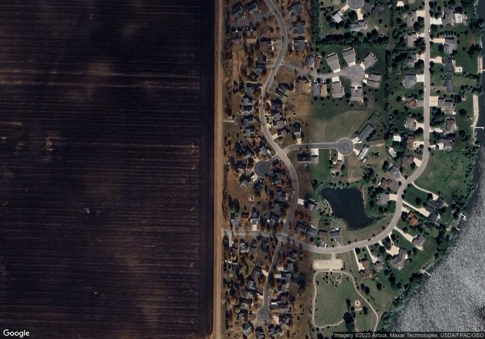
Map
Nearby Homes
- 1819 Scenic Heights Ct SW
- 1215 W Shore Dr SW
- 1053 Prairie View Dr SW
- 1610 Mahogany Ct SW
- 660 Lakewood Dr SW
- 21575 York Rd
- 1060 Dale St SW
- XXX Airport Rd
- 1065 Blackbird Trail SW Unit 8
- 18496 Walden Ave
- 1042 8th Ave SW
- 1020 Roberts Rd SW
- 555 Hidden Cir SW
- 000 Walden Ave
- 537 Graham St SW
- 702 Southview Ct SW
- 735 Sunset St SW
- 966 Osgood Ave SW
- 724 Southview Dr SW
- 000 160th St
- 1221 Prairie View Cir
- 1209 Prairie View Cir
- 1209 1209 Prairie View-Circle-sw
- 1233 Prairie View Cir
- 1197 Prairie View Cir
- 1197 Prairie View Cir
- 1245 Prairie View Cir
- 1245 Prairie View Cir
- 1185 Prairie View Dr SW
- 1185 Prairie View Dr SW
- 1257 Prairie View Cir
- 1173 Prairie View Dr SW
- 1269 Prairie View Dr SW
- 1888 W Shore Dr SW
- 1896 W Shore Dr SW
- 1880 1880 W Shore Dr SW
- 1161 Prairie View Dr SW
- 1281 Prairie View Dr SW
- 1281 1281 Prairie View Dr SW
- 1161 Prairie View Dr SW