Estimated Value: $405,000 - $543,584
4
Beds
2
Baths
2,316
Sq Ft
$207/Sq Ft
Est. Value
About This Home
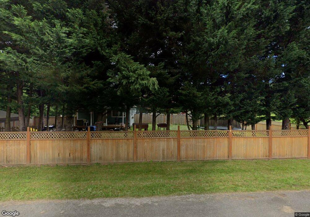
This home is located at 1221 State Route 506, Vader, WA 98593 and is currently estimated at $480,146, approximately $207 per square foot. 1221 State Route 506 is a home with nearby schools including Castle Rock Elementary School, Castle Rock Middle School, and Castle Rock High School.
Ownership History
Date
Name
Owned For
Owner Type
Purchase Details
Closed on
Apr 2, 2024
Sold by
Sanders Phyllis and Sanders Sara
Bought by
Sanders Phylis and Sanders Sara
Current Estimated Value
Purchase Details
Closed on
Apr 2, 2019
Sold by
Spain Theresa and Spain Richard
Bought by
Sanders Phyllis and Sanders Sara
Purchase Details
Closed on
Mar 29, 2019
Sold by
Sanders Michael William and Sanders Phyllis
Bought by
Sanders Phyllis
Purchase Details
Closed on
Jan 28, 2010
Sold by
Parish Raymond A
Bought by
Spain Theresa
Create a Home Valuation Report for This Property
The Home Valuation Report is an in-depth analysis detailing your home's value as well as a comparison with similar homes in the area
Home Values in the Area
Average Home Value in this Area
Purchase History
| Date | Buyer | Sale Price | Title Company |
|---|---|---|---|
| Sanders Phylis | -- | None Listed On Document | |
| Sanders Phyllis | $165,000 | Wfg National Title Company | |
| Sanders Phyllis | -- | Wfg Natl Ttl Co Of Clark Cnt | |
| Spain Theresa | -- | None Available |
Source: Public Records
Tax History Compared to Growth
Tax History
| Year | Tax Paid | Tax Assessment Tax Assessment Total Assessment is a certain percentage of the fair market value that is determined by local assessors to be the total taxable value of land and additions on the property. | Land | Improvement |
|---|---|---|---|---|
| 2024 | $4,136 | $506,000 | $78,000 | $428,000 |
| 2023 | $3,482 | $466,800 | $63,700 | $403,100 |
| 2022 | $3,414 | $389,600 | $50,000 | $339,600 |
| 2021 | $3,411 | $389,600 | $50,000 | $339,600 |
| 2020 | $1,435 | $361,900 | $43,700 | $318,200 |
| 2019 | $2,110 | $150,700 | $37,300 | $113,400 |
| 2018 | $1,372 | $138,200 | $34,000 | $104,200 |
| 2017 | $1,297 | $128,600 | $34,000 | $94,600 |
| 2016 | $1,186 | $120,000 | $34,000 | $86,000 |
| 2015 | $679 | $107,700 | $29,500 | $78,200 |
| 2013 | $679 | $59,850 | $31,950 | $27,900 |
Source: Public Records
Map
Nearby Homes
- 425 Main St
- 817 B St
- 324 6th St
- 916 B St
- 823 D St
- 115 Maschke Rd
- 821 G St
- 604 G St
- 606 G St
- 0 Olequa Ct
- 111 Spring Ct
- 1201 8th St
- 1397 State Route 506
- 220 Tara Ln
- 135 Westside Hwy Unit B
- 105 Enchanted Valley Dr N
- 114 Enchanted Valley Dr S
- 139 Red Hawk Ln
- 504 Telegraph Rd
- 1319 Winlock Vader Rd Unit 19
- 1221 St Hwy 506
- 1225 State Route 506
- 1225 St Hwy 506
- 0 7th St Unit 23462706
- 0 7th St Unit NWM2127011
- 0 7th St Unit NWM1912728
- 0 7th St
- 1222 State Route 506
- 1234 Washington 506
- 1235 Washington 506
- 1234 506
- 1234 State Route 506
- 1226 Washington 506
- 1226 State Route 506
- 705 Main St
- 715 Main St
- 308 Annonen Rd
- 611 Main St
- 1247 State Route 506
- 3 Main St