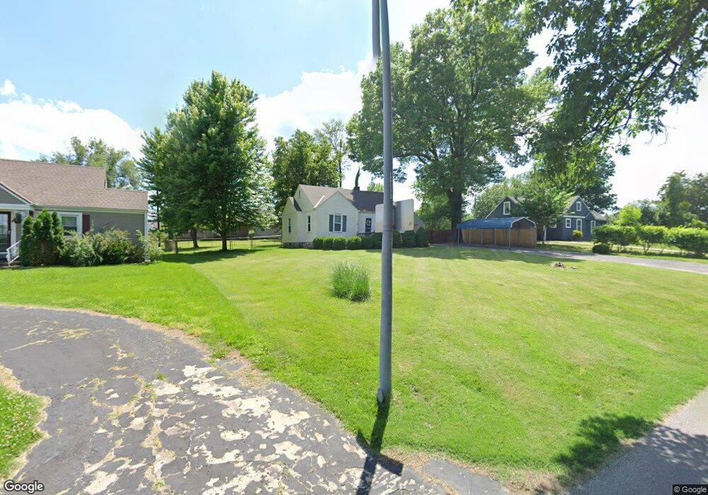
12211 E 67th St Kansas City, MO 64133
Little Blue Valley NeighborhoodEstimated Value: $143,000 - $208,000
2
Beds
1
Bath
783
Sq Ft
$214/Sq Ft
Est. Value
About This Home
This home is located at 12211 E 67th St, Kansas City, MO 64133 and is currently estimated at $167,405, approximately $213 per square foot. 12211 E 67th St is a home located in Jackson County with nearby schools including Robinson Elementary School and Raytown Central Middle School.
Ownership History
Date
Name
Owned For
Owner Type
Purchase Details
Closed on
Mar 22, 2018
Sold by
Torello Mikle A and Torello Cathy
Bought by
Julie L Hoerl Living Trust
Current Estimated Value
Purchase Details
Closed on
Oct 4, 1996
Sold by
Irwin Steven R and Irwin Susan M
Bought by
Torello Mikle A
Home Financials for this Owner
Home Financials are based on the most recent Mortgage that was taken out on this home.
Original Mortgage
$45,501
Interest Rate
8.33%
Mortgage Type
FHA
Create a Home Valuation Report for This Property
The Home Valuation Report is an in-depth analysis detailing your home's value as well as a comparison with similar homes in the area
Home Values in the Area
Average Home Value in this Area
Purchase History
| Date | Buyer | Sale Price | Title Company |
|---|---|---|---|
| Julie L Hoerl Living Trust | -- | Alpha Title Guaranty Inc | |
| Torello Mikle A | -- | Chicago Title Insurance Co |
Source: Public Records
Mortgage History
| Date | Status | Borrower | Loan Amount |
|---|---|---|---|
| Previous Owner | Torello Mikle A | $45,501 |
Source: Public Records
Tax History Compared to Growth
Tax History
| Year | Tax Paid | Tax Assessment Tax Assessment Total Assessment is a certain percentage of the fair market value that is determined by local assessors to be the total taxable value of land and additions on the property. | Land | Improvement |
|---|---|---|---|---|
| 2025 | $1,681 | $21,358 | $8,774 | $12,584 |
| 2024 | $1,670 | $18,573 | $7,235 | $11,338 |
| 2023 | $1,670 | $18,572 | $9,325 | $9,247 |
| 2022 | $1,511 | $16,150 | $4,247 | $11,903 |
| 2021 | $1,511 | $16,150 | $4,247 | $11,903 |
| 2020 | $1,535 | $16,217 | $4,247 | $11,970 |
| 2019 | $1,506 | $16,217 | $4,247 | $11,970 |
| 2018 | $1,392 | $15,055 | $2,642 | $12,413 |
| 2017 | $1,392 | $15,055 | $2,642 | $12,413 |
| 2016 | $1,348 | $14,678 | $7,828 | $6,850 |
| 2014 | $1,314 | $14,250 | $7,600 | $6,650 |
Source: Public Records
Map
Nearby Homes
- 12801 Rickey Rd
- 12101 E 65th Ct
- 6710 Woodson Rd
- 6828 Vermont Ave
- 6322 Norwood Ct
- 6812 Wildwood Dr
- 13404 Rickey Rd
- 6716 Sterling Ave
- 11601 E 62nd St
- 6727 Harvard Ave
- 11600 E 62nd St
- 6407 Harvard Ave
- 6410 Harvard Ave
- 6022 Norfleet Rd
- 6009 Marion Ave
- 6012 Woodside Ave
- 6423 Harris Ave
- 7007 Lakeshore Dr
- 6317 Harvard Ave
- 11701 E 61st St
- 12209 E 67th St
- 12301 E 67th St
- 12206 E 67th Terrace
- 12207 E 67th St
- 12303 Rickey Rd
- 12202 E 67th Terrace
- 12205 E 67th St
- 12303 E 67th St
- 12208 E 67th Terrace
- 12210 E 67th St
- 6700 Rickey Rd
- 12104 E 67th St
- 6711 Woodside Ave
- 12200 E 67th Terrace
- 12101 E 67th St
- 12204 E 68th St
- 6710 Woodside Ave
- 12226 E 67th Terrace
- 6715 Woodside Ave
- 12208 E 68th St
