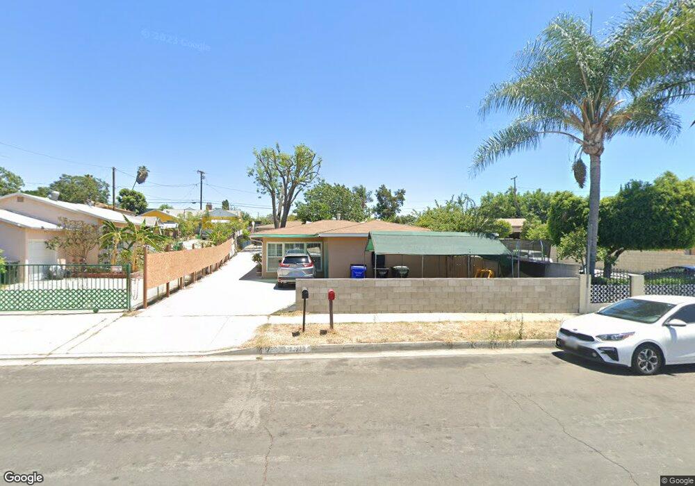
12212 Fidel Ave Whittier, CA 90605
South Whittier NeighborhoodEstimated Value: $917,000 - $992,000
6
Beds
2
Baths
2,094
Sq Ft
$449/Sq Ft
Est. Value
About This Home
This home is located at 12212 Fidel Ave, Whittier, CA 90605 and is currently estimated at $939,470, approximately $448 per square foot. 12212 Fidel Ave is a home located in Los Angeles County with nearby schools including California High School and St. Paul Of The Cross Elementary School.
Ownership History
Date
Name
Owned For
Owner Type
Purchase Details
Closed on
Feb 22, 2006
Sold by
Mulligan Teresa Raye and Schneider Thomas Scott
Bought by
Ramos Agustin
Current Estimated Value
Home Financials for this Owner
Home Financials are based on the most recent Mortgage that was taken out on this home.
Original Mortgage
$400,000
Interest Rate
6.72%
Mortgage Type
Purchase Money Mortgage
Purchase Details
Closed on
Jun 17, 1999
Sold by
Goettsch Patricia A and Schneider Thomas Scott
Bought by
Mulligan Teresa Raye and Schneider Thomas Scott
Create a Home Valuation Report for This Property
The Home Valuation Report is an in-depth analysis detailing your home's value as well as a comparison with similar homes in the area
Home Values in the Area
Average Home Value in this Area
Purchase History
| Date | Buyer | Sale Price | Title Company |
|---|---|---|---|
| Ramos Agustin | $550,000 | Alliance Title | |
| Mulligan Teresa Raye | -- | -- |
Source: Public Records
Mortgage History
| Date | Status | Borrower | Loan Amount |
|---|---|---|---|
| Previous Owner | Ramos Agustin | $400,000 |
Source: Public Records
Tax History Compared to Growth
Tax History
| Year | Tax Paid | Tax Assessment Tax Assessment Total Assessment is a certain percentage of the fair market value that is determined by local assessors to be the total taxable value of land and additions on the property. | Land | Improvement |
|---|---|---|---|---|
| 2025 | $9,218 | $751,603 | $513,826 | $237,777 |
| 2024 | $9,218 | $736,866 | $503,751 | $233,115 |
| 2023 | $8,929 | $722,419 | $493,874 | $228,545 |
| 2022 | $9,000 | $708,255 | $484,191 | $224,064 |
| 2021 | $8,814 | $694,369 | $474,698 | $219,671 |
| 2020 | $8,721 | $687,250 | $469,831 | $217,419 |
| 2019 | $7,940 | $612,000 | $354,300 | $257,700 |
| 2018 | $7,797 | $612,000 | $354,300 | $257,700 |
| 2016 | $7,669 | $610,000 | $350,000 | $260,000 |
| 2015 | $6,277 | $496,000 | $280,000 | $216,000 |
| 2014 | $5,132 | $392,000 | $235,000 | $157,000 |
Source: Public Records
Map
Nearby Homes
- 13213 Leffingwell Rd
- 11820 Painter Ave
- 11828 Louis Ave
- 13272 Beaty Ave
- 13513 Leffingwell Rd
- 11518 Fidel Ave
- 13481 Meyer Rd
- 11428 Painter Ave
- 13531 Utica St
- 13538 Lukay St
- 13703 Placid Dr
- 13071 Miller Ave
- 12947 Foster Rd
- 12309 Ramsey Dr
- 13857 Leffingwell Rd
- 11116 Leland Ave
- 12818 Duffield Ave
- 13624 Greenstone Ave
- 13007 Duffield Ave
- 13854 Adoree St
- 12220 Fidel Ave
- 12208 Fidel Ave
- 12202 Fidel Ave
- 12224 Fidel Ave
- 12215 Fidel Ave
- 12219 Fidel Ave
- 12230 Fidel Ave
- 12213 Fidel Ave
- 12229 Fidel Ave
- 12223 Fidel Ave
- 12129 Fidel Ave
- 12232 Fidel Ave
- 12122 Fidel Ave
- 12237 Fidel Ave
- 12300 Fidel Ave
- 12325 Laurel Ave
- 12335 Laurel Ave
- 12120 Fidel Ave
- 12403 Laurel Ave
- 13138 Sunshine Ave