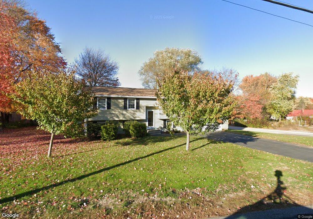
1222 Bridge St Manchester, NH 03104
Youngsville NeighborhoodEstimated Value: $479,000 - $515,000
3
Beds
2
Baths
1,476
Sq Ft
$338/Sq Ft
Est. Value
About This Home
This home is located at 1222 Bridge St, Manchester, NH 03104 and is currently estimated at $499,578, approximately $338 per square foot. 1222 Bridge St is a home located in Hillsborough County with nearby schools including Weston School, Henry J. McLaughlin Middle School, and Manchester Memorial High School.
Ownership History
Date
Name
Owned For
Owner Type
Purchase Details
Closed on
Oct 2, 2002
Sold by
Hudson Geoff and Hudson Wendy
Bought by
Meisel John
Current Estimated Value
Home Financials for this Owner
Home Financials are based on the most recent Mortgage that was taken out on this home.
Original Mortgage
$160,000
Interest Rate
6.27%
Purchase Details
Closed on
Feb 2, 1999
Sold by
Stlaurent Michael J and St Laurent Kimberley M
Bought by
Hudson Geoff and Hudson Wendy
Create a Home Valuation Report for This Property
The Home Valuation Report is an in-depth analysis detailing your home's value as well as a comparison with similar homes in the area
Home Values in the Area
Average Home Value in this Area
Purchase History
| Date | Buyer | Sale Price | Title Company |
|---|---|---|---|
| Meisel John | $184,900 | -- | |
| Hudson Geoff | $119,000 | -- |
Source: Public Records
Mortgage History
| Date | Status | Borrower | Loan Amount |
|---|---|---|---|
| Open | Hudson Geoff | $18,719 | |
| Open | Hudson Geoff | $144,000 | |
| Closed | Hudson Geoff | $140,000 | |
| Closed | Hudson Geoff | $160,000 |
Source: Public Records
Tax History Compared to Growth
Tax History
| Year | Tax Paid | Tax Assessment Tax Assessment Total Assessment is a certain percentage of the fair market value that is determined by local assessors to be the total taxable value of land and additions on the property. | Land | Improvement |
|---|---|---|---|---|
| 2024 | $6,904 | $352,600 | $114,400 | $238,200 |
| 2023 | $6,650 | $352,600 | $114,400 | $238,200 |
| 2022 | $6,431 | $352,600 | $114,400 | $238,200 |
| 2021 | $6,234 | $352,600 | $114,400 | $238,200 |
| 2020 | $5,918 | $240,000 | $78,900 | $161,100 |
| 2019 | $5,837 | $240,000 | $78,900 | $161,100 |
| 2018 | $5,683 | $240,000 | $78,900 | $161,100 |
| 2017 | $5,597 | $240,000 | $78,900 | $161,100 |
| 2016 | $5,554 | $240,000 | $78,900 | $161,100 |
| 2015 | $5,337 | $227,700 | $68,600 | $159,100 |
| 2014 | $5,351 | $227,700 | $68,600 | $159,100 |
| 2013 | $4,811 | $212,200 | $68,600 | $143,600 |
Source: Public Records
Map
Nearby Homes
- 112 Morse Rd
- 53 Heritage Way
- 66 Broadway Ave
- 225 Aladdin St
- 132 Eastern Ave Unit 303
- 162 Tiffany Ln
- 317 Karatzas Ave Unit Lot 18
- 313 Karatzas Ave Unit Lot 19
- 309 Karatzas Ave Unit Lot 20
- 305 Karatzas Ave Unit Lot 21
- 302 Karatzas Ave Unit Lot 0
- 104 Karatzas Ave
- 90 Karatzas Ave
- TBD Wellington Rd
- 168 Waverly St
- 265 Edward J Roy Dr Unit 108
- 17 Eastwood Way
- 361 Laydon St
- 224 Merritt Nyberg Ln
- 173 Portsmouth Ave