1222 Fuhrman Rd Cincinnati, OH 45215
Estimated Value: $416,000 - $761,229
3
Beds
4
Baths
2,948
Sq Ft
$175/Sq Ft
Est. Value
About This Home
This home is located at 1222 Fuhrman Rd, Cincinnati, OH 45215 and is currently estimated at $516,807, approximately $175 per square foot. 1222 Fuhrman Rd is a home located in Hamilton County with nearby schools including Reading Community High School, Saints Peter and Paul Academy, and Mount Notre Dame High School.
Ownership History
Date
Name
Owned For
Owner Type
Purchase Details
Closed on
Mar 19, 2004
Sold by
Burton Peggy Ann
Bought by
Burton Duane and Burton Peggy Ann
Current Estimated Value
Home Financials for this Owner
Home Financials are based on the most recent Mortgage that was taken out on this home.
Original Mortgage
$333,700
Outstanding Balance
$155,738
Interest Rate
5.65%
Mortgage Type
New Conventional
Estimated Equity
$361,069
Purchase Details
Closed on
Jul 19, 1999
Sold by
Ann Burton Peggy and Ann Duane R
Bought by
Burton Peggy Ann and The Trust Agreement Of Peggy Ann Burton
Home Financials for this Owner
Home Financials are based on the most recent Mortgage that was taken out on this home.
Original Mortgage
$356,000
Interest Rate
7.54%
Purchase Details
Closed on
Apr 17, 1997
Sold by
Burton Duane Richard
Bought by
Burton Peggy Ann
Create a Home Valuation Report for This Property
The Home Valuation Report is an in-depth analysis detailing your home's value as well as a comparison with similar homes in the area
Home Values in the Area
Average Home Value in this Area
Purchase History
| Date | Buyer | Sale Price | Title Company |
|---|---|---|---|
| Burton Duane | -- | -- | |
| Burton Peggy Ann | -- | Blue Chip Title Agency Inc | |
| Burton Duane R | -- | Blue Chip Title Agency Inc | |
| Burton Peggy Ann | -- | -- |
Source: Public Records
Mortgage History
| Date | Status | Borrower | Loan Amount |
|---|---|---|---|
| Open | Burton Duane | $333,700 | |
| Closed | Burton Duane R | $356,000 | |
| Closed | Burton Duane | $107,300 |
Source: Public Records
Tax History Compared to Growth
Tax History
| Year | Tax Paid | Tax Assessment Tax Assessment Total Assessment is a certain percentage of the fair market value that is determined by local assessors to be the total taxable value of land and additions on the property. | Land | Improvement |
|---|---|---|---|---|
| 2024 | $10,650 | $203,749 | $36,680 | $167,069 |
| 2023 | $10,773 | $203,749 | $36,680 | $167,069 |
| 2022 | $10,423 | $152,811 | $31,861 | $120,950 |
| 2021 | $8,744 | $152,811 | $31,861 | $120,950 |
| 2020 | $8,794 | $152,811 | $31,861 | $120,950 |
| 2019 | $8,539 | $135,230 | $28,196 | $107,034 |
| 2018 | $8,547 | $135,230 | $28,196 | $107,034 |
| 2017 | $8,081 | $135,230 | $28,196 | $107,034 |
| 2016 | $7,969 | $133,487 | $27,377 | $106,110 |
| 2015 | $8,015 | $133,487 | $27,377 | $106,110 |
| 2014 | $7,019 | $133,487 | $27,377 | $106,110 |
| 2013 | $7,115 | $136,213 | $27,937 | $108,276 |
Source: Public Records
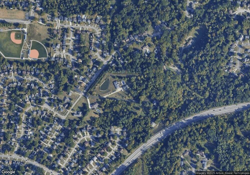
Map
Nearby Homes
- 1194 Fuhrman Rd
- 1246 Thurnridge Dr
- 2451 Hunt Rd
- 2413 Carol Dr
- 2598 Maple Tree Ct
- 2590 Hunt Rd
- 1626 Krylon Dr
- 2626 Hunt Rd
- 113 Waxwing Dr
- 1684 Sanborn Dr
- 796 Kenray Ct
- 8907 Eldora Dr
- 2127 Longmeadow Ln
- 3733 Lyndon Center Ct
- 234 Mcguire Ln
- 3843 Blackwood Ct
- 636 Maple Dr
- 69 Orchard Knoll Dr
- 8757 Wicklow Ave
- L Apple Ridge Ln
- 1308 Fuhrman Rd
- 1312 Fuhrman Rd
- 1251 Fuhrman Rd
- 1247 Fuhrman Rd
- 1218 Fuhrman Rd
- 1239 Fuhrman Rd
- 1243 Fuhrman Rd
- 1314 Fuhrman Rd
- 1259 Fuhrman Rd
- 1237 Fuhrman Rd
- 1215 Sanborn Ct
- 1233 Fuhrman Rd
- 1218 Sanborn Ct
- 1316 Fuhrman Rd
- 1235 Fuhrman Rd
- 1219 Sanborn Ct
- 1222 Sanborn Ct
- 1313 Fuhrman Rd
- 35 Lenore Dr
- 1220 Fuhrman Rd