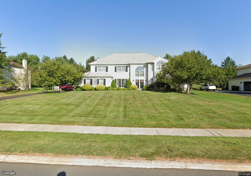
1222 Jarvis Ln Lansdale, PA 19446
Estimated Value: $745,000 - $883,000
4
Beds
3
Baths
3,863
Sq Ft
$212/Sq Ft
Est. Value
About This Home
This home is located at 1222 Jarvis Ln, Lansdale, PA 19446 and is currently estimated at $817,254, approximately $211 per square foot. 1222 Jarvis Ln is a home located in Montgomery County with nearby schools including Inglewood Elementary School, Penndale Middle School, and North Penn Senior High School.
Ownership History
Date
Name
Owned For
Owner Type
Purchase Details
Closed on
Oct 28, 2005
Sold by
Dinunzio Joseph A and Dinunzio Joyce A
Bought by
Sarringer Christopher R and Eames Heather C
Current Estimated Value
Home Financials for this Owner
Home Financials are based on the most recent Mortgage that was taken out on this home.
Original Mortgage
$58,800
Outstanding Balance
$32,001
Interest Rate
5.93%
Estimated Equity
$785,253
Create a Home Valuation Report for This Property
The Home Valuation Report is an in-depth analysis detailing your home's value as well as a comparison with similar homes in the area
Home Values in the Area
Average Home Value in this Area
Purchase History
| Date | Buyer | Sale Price | Title Company |
|---|---|---|---|
| Sarringer Christopher R | $465,000 | -- |
Source: Public Records
Mortgage History
| Date | Status | Borrower | Loan Amount |
|---|---|---|---|
| Open | Sarringer Christopher R | $58,800 | |
| Open | Sarringer Christopher R | $359,650 |
Source: Public Records
Tax History Compared to Growth
Tax History
| Year | Tax Paid | Tax Assessment Tax Assessment Total Assessment is a certain percentage of the fair market value that is determined by local assessors to be the total taxable value of land and additions on the property. | Land | Improvement |
|---|---|---|---|---|
| 2025 | $9,311 | $253,780 | -- | -- |
| 2024 | $9,311 | $253,780 | -- | -- |
| 2023 | $8,700 | $248,780 | $0 | $0 |
| 2022 | $8,390 | $248,780 | $0 | $0 |
| 2021 | $8,169 | $248,780 | $0 | $0 |
| 2020 | $7,957 | $248,780 | $0 | $0 |
| 2019 | $7,339 | $248,780 | $0 | $0 |
| 2018 | $7,812 | $233,740 | $0 | $0 |
| 2017 | $7,031 | $233,740 | $0 | $0 |
| 2016 | $6,940 | $225,740 | $68,030 | $157,710 |
| 2015 | $6,399 | $225,740 | $68,030 | $157,710 |
| 2014 | $6,399 | $225,740 | $68,030 | $157,710 |
Source: Public Records
Map
Nearby Homes
- 984 Independence Ln Unit 13
- 1107 Jarvis Ln
- 803 Poplar Ct
- 750 Annes Ct
- 818 Green St
- 1059 Charter Oaks Dr
- 1116 Dogwood Ct
- 1625 Clearbrook Rd
- 128 Wellington Terrace
- 210 Berwick Place Unit 20E
- 1120 Kingsley Hall Dr
- 4 State St
- 830 S Broad St
- 611 Green St
- 534 Green St
- 758 Brian Way
- 532 Green St
- 1653 Bridle Path Dr
- 340 Central Dr
- 10 Wheatley Walk
- 1228 Jarvis Ln
- 1216 Jarvis Ln
- 1225 Scobee Dr
- 1219 Scobee Dr
- 1221 Jarvis Ln
- 1231 Scobee Dr
- 1234 Jarvis Ln
- 1210 Jarvis Ln
- 1213 Scobee Dr Unit 52
- 1215 Jarvis Ln
- 1227 Jarvis Ln
- 1237 Scobee Dr
- 1233 Jarvis Ln
- 1209 Jarvis Ln
- 1205 Scobee Dr
- 1204 Jarvis Ln
- 1222 Scobee Dr
- 1240 Jarvis Ln
- 1228 Scobee Dr
- 1216 Scobee Dr