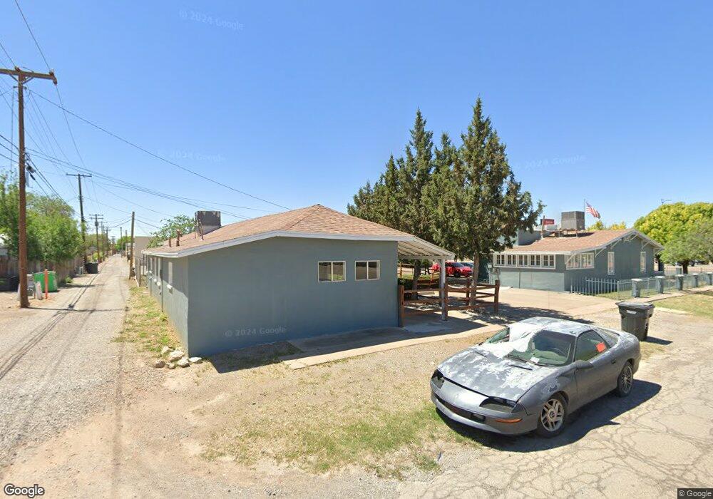
1222 N White Sands Blvd Alamogordo, NM 88310
Estimated Value: $255,889
3
Beds
1
Bath
1,408
Sq Ft
$182/Sq Ft
Est. Value
About This Home
This home is located at 1222 N White Sands Blvd, Alamogordo, NM 88310 and is currently priced at $255,889, approximately $181 per square foot. 1222 N White Sands Blvd is a home located in Otero County with nearby schools including North Elementary School, Yucca Elementary School, and Chaparral Middle School.
Ownership History
Date
Name
Owned For
Owner Type
Purchase Details
Closed on
Feb 6, 2024
Sold by
Gulley James A and Gulley Linda L
Bought by
Gulley Family Trust and Gulley
Current Estimated Value
Purchase Details
Closed on
Sep 13, 2022
Sold by
Southern New Mexico Outreach Inc
Bought by
Gulley Linda Ness and Gulley James
Purchase Details
Closed on
Dec 7, 2012
Sold by
Living Alternatives Inc
Bought by
Southern New Mexico Outreach Inc
Purchase Details
Closed on
Oct 13, 2010
Sold by
Stonecliff Enterprises Inc
Bought by
Living Alternatives Inc
Create a Home Valuation Report for This Property
The Home Valuation Report is an in-depth analysis detailing your home's value as well as a comparison with similar homes in the area
Home Values in the Area
Average Home Value in this Area
Purchase History
| Date | Buyer | Sale Price | Title Company |
|---|---|---|---|
| Gulley Family Trust | -- | None Listed On Document | |
| Gulley Linda Ness | -- | -- | |
| Southern New Mexico Outreach Inc | -- | None Available | |
| Living Alternatives Inc | -- | None Available |
Source: Public Records
Tax History Compared to Growth
Tax History
| Year | Tax Paid | Tax Assessment Tax Assessment Total Assessment is a certain percentage of the fair market value that is determined by local assessors to be the total taxable value of land and additions on the property. | Land | Improvement |
|---|---|---|---|---|
| 2025 | $2,923 | $95,945 | $19,980 | $75,965 |
| 2024 | $2,923 | $91,083 | $17,354 | $73,729 |
| 2023 | $2,727 | $92,921 | $17,354 | $75,567 |
| 2022 | $0 | $49,458 | $30,090 | $19,368 |
| 2021 | $0 | $49,458 | $30,090 | $19,368 |
| 2020 | $609 | $49,458 | $30,090 | $19,368 |
| 2019 | $0 | $48,488 | $29,500 | $18,988 |
| 2018 | $0 | $48,488 | $29,497 | $18,986 |
| 2017 | $0 | $48,488 | $29,497 | $18,986 |
| 2016 | $0 | $48,488 | $0 | $0 |
| 2015 | -- | $48,488 | $0 | $0 |
| 2014 | -- | $30,250 | $30,250 | $0 |
Source: Public Records
Map
Nearby Homes
- 1122 N New York Ave
- 1406 New York Ave
- 1210 Indiana Ave
- 1313 Ohio Ave
- 1419 Ohio Ave
- 1522 New York Ave
- 1640 N White Sands Blvd
- 1650 N White Sands Blvd
- 267 W 10th St
- 700 W 10th St
- 307 W 10th St
- 607 E 16th St
- 410 Maryland Ave
- 1603 Hawaii Ave
- 1605 Hawaii Ave
- 1214 Puerto Rico Ave
- 1202 Puerto Rico Ave
- 601 Lovers Ln
- 1023 E 16th St
- 1800 Alaska Ave
- 1217 New York Ave
- 1223 N New York Ave
- 1215 New York Ave
- 211 13th St
- 1200 N White Sands Blvd
- 1309 New York Ave
- 1209 N New York Ave
- 1220 New York Ave
- 1218 New York Ave
- 1315 New York Ave
- 1207 N New York Ave
- 311 13th St
- 1216 New York Ave
- 1214 New York Ave
- 1304 New York Ave
- 1308 New York Ave
- 1208 N New York Ave
- 1310 New York Ave
- 1319 New York Ave
- 1204 New York Ave