1222 NW 133rd St Unit B Vancouver, WA 98685
Knapp NeighborhoodEstimated Value: $375,000 - $387,916
2
Beds
2
Baths
1,470
Sq Ft
$260/Sq Ft
Est. Value
About This Home
This home is located at 1222 NW 133rd St Unit B, Vancouver, WA 98685 and is currently estimated at $382,479, approximately $260 per square foot. 1222 NW 133rd St Unit B is a home located in Clark County with nearby schools including Chinook Elementary School, Alki Middle School, and Skyview High School.
Ownership History
Date
Name
Owned For
Owner Type
Purchase Details
Closed on
May 6, 2015
Sold by
Freshwater Marsha A
Bought by
Freshwater Marsha A
Current Estimated Value
Purchase Details
Closed on
Apr 20, 2015
Sold by
Freshwater Floyd G
Bought by
Freshwater Marsha A
Purchase Details
Closed on
Apr 16, 2015
Sold by
Fermean Ardis V
Bought by
Freshwater Marsha
Purchase Details
Closed on
Apr 30, 2013
Sold by
Harder Philip J
Bought by
Harder Michael J and Harder Janet L
Purchase Details
Closed on
Mar 25, 2009
Sold by
Harder Philip J
Bought by
Ferneau Ardis
Purchase Details
Closed on
Sep 29, 1997
Sold by
Porter Patricia M
Bought by
Ferneau Paul G and Ferneau Ardis
Create a Home Valuation Report for This Property
The Home Valuation Report is an in-depth analysis detailing your home's value as well as a comparison with similar homes in the area
Home Values in the Area
Average Home Value in this Area
Purchase History
| Date | Buyer | Sale Price | Title Company |
|---|---|---|---|
| Freshwater Marsha A | -- | None Available | |
| Freshwater Marsha A | -- | Clark County Title Company | |
| Freshwater Marsha | $169,300 | Clark County Title Company | |
| Harder Michael J | -- | None Available | |
| Ferneau Ardis | $11,350 | None Available | |
| Ferneau Paul G | -- | Clark County Title |
Source: Public Records
Tax History Compared to Growth
Tax History
| Year | Tax Paid | Tax Assessment Tax Assessment Total Assessment is a certain percentage of the fair market value that is determined by local assessors to be the total taxable value of land and additions on the property. | Land | Improvement |
|---|---|---|---|---|
| 2025 | $4,257 | $480,252 | -- | $480,252 |
| 2024 | $3,654 | $411,609 | -- | $411,609 |
| 2023 | $3,461 | $330,191 | $0 | $330,191 |
| 2022 | $3,167 | $359,778 | $0 | $359,778 |
| 2021 | $3,208 | $293,089 | $0 | $293,089 |
| 2020 | $2,827 | $278,641 | $0 | $278,641 |
| 2019 | $2,651 | $261,248 | $0 | $261,248 |
| 2018 | $2,844 | $253,741 | $0 | $0 |
| 2017 | $2,358 | $227,324 | $0 | $0 |
| 2016 | $2,231 | $196,584 | $0 | $0 |
| 2015 | $809 | $173,685 | $0 | $0 |
| 2014 | -- | $99,997 | $0 | $0 |
| 2013 | -- | $81,770 | $0 | $0 |
Source: Public Records
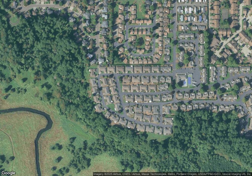
Map
Nearby Homes
- 1118 NW 134th St Unit B
- 0 NW 11th Ave Unit LOT14 554211978
- 0 NW 11th Ave
- 901 NW 132nd St Unit A
- 13311 NW 10th Ave
- 1003 NW 139th St Unit 3B
- 13813 NW 10th Ct Unit C
- 1607 NW 136th St
- 13114 NW 8th Way Unit B
- 13821 NW 10th Ct Unit H
- 13821 NW 10th Ct Unit G
- 1208 NW 138th Way
- 13802 NW 10th Ct
- 13802 NW 10th Ct Unit D
- 13846 NW 10th Ct
- 12306 NW 17th Ave Unit Lot 30
- 12310 NW 17th Ave
- 12311 NW 15th Ave
- 306 NW 134th St
- 2201 NW 128th St
- 1213 NW 134th St
- 1220 NW 134th St Unit 67-B
- 1213 NW 134th St Unit B
- 1213 NW 134th St Unit A
- 1222 NW 133rd St Unit A
- 1220 NW 134th St Unit B
- 1220 NW 134th St Unit A
- 1212 NW 134th St Unit B
- 1212 NW 134th St Unit A
- 1203 NW 134th St Unit A
- 0 NW 134th St
- 67 NW 134th St
- 1117 NW 134th St
- 13205 NW 14th Ave Unit B
- 13205 NW 14th Ave Unit A
- 1103 NW 131st Way Unit B
- 1103 NW 131st Way Unit A
- 1117 NW 134th St Unit B
- 1117 NW 134th St Unit A
- 1118 NW 134th St