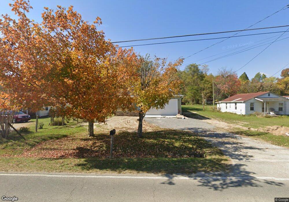
1222 Old Highway 127 S Jamestown, TN 38556
Estimated Value: $95,000 - $211,000
--
Bed
1
Bath
1,008
Sq Ft
$135/Sq Ft
Est. Value
About This Home
This home is located at 1222 Old Highway 127 S, Jamestown, TN 38556 and is currently estimated at $136,000, approximately $134 per square foot. 1222 Old Highway 127 S is a home located in Fentress County with nearby schools including Cumberland Christian School.
Ownership History
Date
Name
Owned For
Owner Type
Purchase Details
Closed on
Apr 12, 2024
Sold by
Bertram Franklin Dee and Upchurch Justine
Bought by
Gunter Johnny
Current Estimated Value
Purchase Details
Closed on
Apr 23, 2009
Bought by
Bertram Frank
Home Financials for this Owner
Home Financials are based on the most recent Mortgage that was taken out on this home.
Original Mortgage
$45,000
Interest Rate
4.86%
Mortgage Type
New Conventional
Create a Home Valuation Report for This Property
The Home Valuation Report is an in-depth analysis detailing your home's value as well as a comparison with similar homes in the area
Home Values in the Area
Average Home Value in this Area
Purchase History
| Date | Buyer | Sale Price | Title Company |
|---|---|---|---|
| Gunter Johnny | $23,650 | Capstone Title | |
| Bertram Frank | $26,500 | -- |
Source: Public Records
Mortgage History
| Date | Status | Borrower | Loan Amount |
|---|---|---|---|
| Previous Owner | Bertram Frank | $45,000 |
Source: Public Records
Tax History Compared to Growth
Tax History
| Year | Tax Paid | Tax Assessment Tax Assessment Total Assessment is a certain percentage of the fair market value that is determined by local assessors to be the total taxable value of land and additions on the property. | Land | Improvement |
|---|---|---|---|---|
| 2024 | $59 | $4,375 | $4,375 | $0 |
| 2023 | $59 | $4,375 | $4,375 | $0 |
| 2022 | $60 | $3,125 | $3,125 | $0 |
| 2021 | $148 | $7,750 | $3,125 | $4,625 |
| 2020 | $148 | $7,750 | $3,125 | $4,625 |
| 2019 | $148 | $7,750 | $3,125 | $4,625 |
| 2018 | $148 | $7,750 | $3,125 | $4,625 |
| 2017 | $139 | $7,000 | $3,125 | $3,875 |
| 2016 | $139 | $7,000 | $3,125 | $3,875 |
| 2015 | $139 | $7,000 | $0 | $0 |
| 2014 | $139 | $7,000 | $0 | $0 |
Source: Public Records
Map
Nearby Homes
- 116 Kings Rd
- 101 N Alf Threet Rd
- 0 Alf Threet Rd E O Rd
- 1102 McGhee Rd
- 21.72ac S York Hwy
- 1095 Franklin Rd
- 134 Woodlawn Dr
- 1014 Kennedy Rd
- 98 Paso Fino Trail
- 2A Choctaw Dr
- 2B Choctaw Dr
- n/a S York Hwy
- 2172 S York Hwy
- 1 Clayburn Ave
- 0 Coal Rd Unit RTC2930385
- 111 Guffey Ln
- 0 Iroquois Dr
- n/a Iroquois Dr
- 0 Apache Rd Unit RTC2992962
- 0 Apache Rd Unit RTC2890879
- 1222 S Old Hwy 127
- 1222 S Old Highway 127-S 1222 Hwy
- 1220 Old Highway 127 S
- 1224 Old Highway 127 S
- 1213 Old Highway 127 S
- 1234 Old Highway 127 S
- 1215 Old Highway 127 S
- 21AC S York Hwy
- 1209 N Us127
- 1209 Old Highway 127 S
- 1045 Glenobey Rd
- 1015 Glenobey Rd
- 1205 Old Highway 127 S
- 1200 Old Highway 127 S
- 1035 Glenobey Rd
- 1201 Old Highway 127 S
- 1041 Glenobey Rd
- 1100 Old Highway 127 S
- 150 Raintree Rd
- 1043 Glenobey Rd