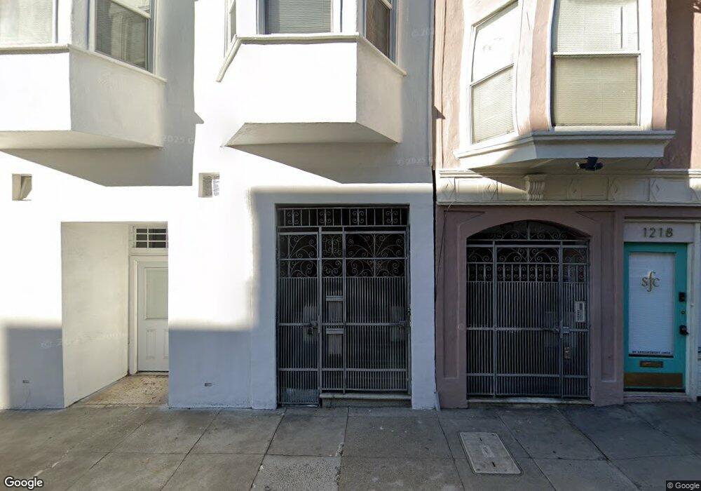
1222 Pacific Ave Unit 1226 San Francisco, CA 94109
Nob Hill NeighborhoodEstimated Value: $1,309,000 - $1,973,630
--
Bed
2
Baths
3,853
Sq Ft
$433/Sq Ft
Est. Value
About This Home
This home is located at 1222 Pacific Ave Unit 1226, San Francisco, CA 94109 and is currently estimated at $1,667,158, approximately $432 per square foot. 1222 Pacific Ave Unit 1226 is a home located in San Francisco County with nearby schools including Yick Wo Elementary School, Francisco Middle School, and Creative Arts Charter School.
Ownership History
Date
Name
Owned For
Owner Type
Purchase Details
Closed on
Jan 31, 2022
Sold by
Ming Fong Chun
Bought by
Chun Ming Fong/Fung Kum Lee Tr
Current Estimated Value
Purchase Details
Closed on
Jun 9, 1995
Sold by
Ming Fong Chun and Fong Chun Ming
Bought by
Fong Chun Ming and Lee Fung Kum
Purchase Details
Closed on
Apr 14, 1995
Sold by
Ming Fong Chung and Fong Chung Ming
Bought by
Ming Fong Chun and Fong Chun Ming
Create a Home Valuation Report for This Property
The Home Valuation Report is an in-depth analysis detailing your home's value as well as a comparison with similar homes in the area
Home Values in the Area
Average Home Value in this Area
Purchase History
| Date | Buyer | Sale Price | Title Company |
|---|---|---|---|
| Chun Ming Fong/Fung Kum Lee Tr | -- | -- | |
| Fong Chun Ming | -- | -- | |
| Ming Fong Chun | -- | -- |
Source: Public Records
Tax History Compared to Growth
Tax History
| Year | Tax Paid | Tax Assessment Tax Assessment Total Assessment is a certain percentage of the fair market value that is determined by local assessors to be the total taxable value of land and additions on the property. | Land | Improvement |
|---|---|---|---|---|
| 2025 | $9,404 | $807,290 | $297,415 | $509,875 |
| 2024 | $9,404 | $791,463 | $291,585 | $499,878 |
| 2023 | $9,270 | $775,946 | $285,869 | $490,077 |
| 2022 | $9,106 | $760,732 | $280,264 | $480,468 |
| 2021 | $8,868 | $745,850 | $274,783 | $471,067 |
| 2020 | $8,944 | $738,203 | $271,966 | $466,237 |
| 2019 | $8,638 | $723,730 | $266,634 | $457,096 |
| 2018 | $8,345 | $709,540 | $261,406 | $448,134 |
| 2017 | $8,247 | $695,629 | $256,281 | $439,348 |
| 2016 | $8,097 | $681,990 | $251,256 | $430,734 |
| 2015 | $7,995 | $671,746 | $247,482 | $424,264 |
| 2014 | $7,784 | $658,589 | $242,635 | $415,954 |
Source: Public Records
Map
Nearby Homes
- 164 Bernard St
- 1216 Jackson St
- 1180 Jackson St Unit 6
- 1725 Jones St Unit 3
- 44 Lynch St
- 74 Lynch St
- 1242 Washington St
- 19-23 Salmon St
- 49a Auburn St
- 45 Auburn St
- 45 Auburn St Unit A
- 47 Auburn St Unit A
- 47 Auburn St
- 999 Green St Unit 1501
- 999 Green St Unit 2001
- 1340 Clay St Unit 404
- 947 Green St Unit 6
- 1725 Hyde St Unit 1
- 1250 Vallejo St Unit 7
- 1260 Clay St Unit 207
- 1230 Pacific Ave
- 1236 Pacific Ave Unit 1238
- 123 Bernard St
- 127 Bernard St
- 115 Bernard St
- 1615 Jones St Unit 2
- 1615 Jones St Unit 1
- 1615 Jones St Unit 3
- 1615 Jones St Unit 5
- 1615 Jones St Unit 4
- 1200 Pacific Ave
- 1619 Jones St Unit 1621A
- 139 Bernard St
- 1244 Pacific Ave Unit 1246
- 1625 Jones St Unit 1627
- 145 Bernard St
- 1252 Pacific Ave
- 1250 Pacific Ave Unit 1250
- 1250 Pacific Ave Unit 1252A
- 1252 Pacific Ave Unit A