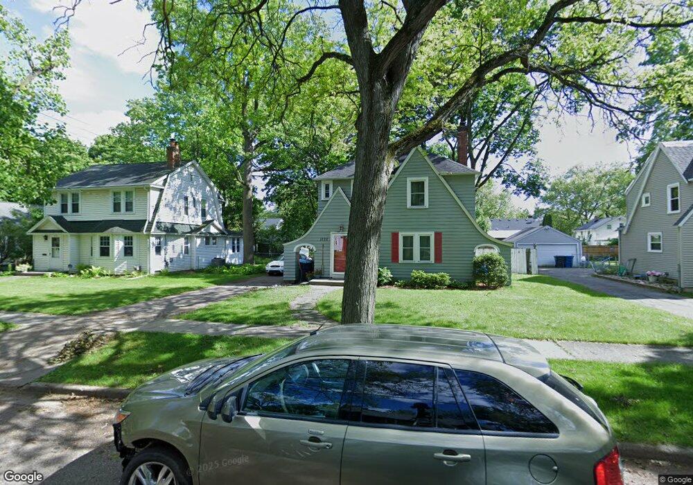
1222 Southern Ave Kalamazoo, MI 49001
Milwood NeighborhoodEstimated Value: $237,346 - $240,000
3
Beds
2
Baths
1,293
Sq Ft
$185/Sq Ft
Est. Value
About This Home
This home is located at 1222 Southern Ave, Kalamazoo, MI 49001 and is currently estimated at $239,087, approximately $184 per square foot. 1222 Southern Ave is a home located in Kalamazoo County with nearby schools including Milwood Elementary School, Milwood Magnet School, and Loy Norrix High School.
Ownership History
Date
Name
Owned For
Owner Type
Purchase Details
Closed on
Mar 12, 2009
Sold by
Trott & Trott Pc
Bought by
Wright Jenna B
Current Estimated Value
Home Financials for this Owner
Home Financials are based on the most recent Mortgage that was taken out on this home.
Original Mortgage
$74,623
Outstanding Balance
$47,626
Interest Rate
5.2%
Mortgage Type
FHA
Estimated Equity
$191,461
Purchase Details
Closed on
Apr 17, 2008
Sold by
Reitz Darlene K
Bought by
Federal Home Loan Mortgage Corporation
Create a Home Valuation Report for This Property
The Home Valuation Report is an in-depth analysis detailing your home's value as well as a comparison with similar homes in the area
Home Values in the Area
Average Home Value in this Area
Purchase History
| Date | Buyer | Sale Price | Title Company |
|---|---|---|---|
| Wright Jenna B | $76,000 | Lighthouse Title | |
| Federal Home Loan Mortgage Corporation | $97,243 | None Available |
Source: Public Records
Mortgage History
| Date | Status | Borrower | Loan Amount |
|---|---|---|---|
| Open | Wright Jenna B | $74,623 |
Source: Public Records
Tax History Compared to Growth
Tax History
| Year | Tax Paid | Tax Assessment Tax Assessment Total Assessment is a certain percentage of the fair market value that is determined by local assessors to be the total taxable value of land and additions on the property. | Land | Improvement |
|---|---|---|---|---|
| 2025 | $2,899 | $105,500 | $0 | $0 |
| 2024 | $1,619 | $99,500 | $0 | $0 |
| 2023 | $1,543 | $86,400 | $0 | $0 |
| 2022 | $2,629 | $76,700 | $0 | $0 |
| 2021 | $2,542 | $72,400 | $0 | $0 |
| 2020 | $2,489 | $67,300 | $0 | $0 |
| 2019 | $2,274 | $56,100 | $0 | $0 |
| 2018 | $2,221 | $53,900 | $0 | $0 |
| 2017 | $2,280 | $50,700 | $0 | $0 |
| 2016 | $2,280 | $49,200 | $0 | $0 |
| 2015 | $2,280 | $47,500 | $0 | $0 |
| 2014 | $2,280 | $46,700 | $0 | $0 |
Source: Public Records
Map
Nearby Homes
- 1209 Cambridge Dr
- 1115 Cambridge Dr
- 910 Miller Rd
- 932 Sheridan Dr
- 915 Sheridan Dr
- 1510 Palmer Ave
- 1118 E Alcott St
- 3227 Saint Joseph St
- 1909 E Cork St
- 1719 Palmer Ave
- 1939 March St
- 1224 Lane Blvd
- 1118 Lane Blvd
- 913 Bryant St
- 1332 Royce Ave
- 3214 Konkle St
- 1424 Lay Blvd
- 2211 Roseland Ave
- 516 E Alcott St
- 855 Lay Blvd
- 1228 Southern Ave
- 1216 Southern Ave
- 1210 Southern Ave
- 1221 Cambridge Dr
- 1304 Southern Ave
- 1227 Cambridge Dr
- 1215 Cambridge Dr
- 1310 Southern Ave
- 1233 Cambridge Dr
- 1204 Southern Ave
- 1221 Southern Ave
- 1303 Southern Ave
- 1227 Southern Ave
- 1215 Southern Ave
- 1303 Cambridge Dr
- 1211 Southern Ave
- 1203 Southern Ave
- 1316 Southern Ave
- 1205 Cambridge Dr
- 1309 Southern Ave