12220 Goodland Ct Manassas, VA 20112
Estimated Value: $832,249 - $917,000
4
Beds
4
Baths
3,008
Sq Ft
$291/Sq Ft
Est. Value
About This Home
This home is located at 12220 Goodland Ct, Manassas, VA 20112 and is currently estimated at $874,062, approximately $290 per square foot. 12220 Goodland Ct is a home located in Prince William County with nearby schools including Signal Hill Elementary School, Charles J. Colgan Senior High School, and Louise A. Benton Middle School.
Ownership History
Date
Name
Owned For
Owner Type
Purchase Details
Closed on
Nov 12, 1996
Sold by
Hunter Lc
Bought by
Meushaw Kerry S and Meushaw Kathleen A
Current Estimated Value
Home Financials for this Owner
Home Financials are based on the most recent Mortgage that was taken out on this home.
Original Mortgage
$271,000
Outstanding Balance
$26,731
Interest Rate
8.1%
Mortgage Type
New Conventional
Estimated Equity
$847,331
Purchase Details
Closed on
Jul 16, 1996
Sold by
Hunters Ridge Llc
Bought by
Hunter Lc
Create a Home Valuation Report for This Property
The Home Valuation Report is an in-depth analysis detailing your home's value as well as a comparison with similar homes in the area
Home Values in the Area
Average Home Value in this Area
Purchase History
| Date | Buyer | Sale Price | Title Company |
|---|---|---|---|
| Meushaw Kerry S | $301,650 | -- | |
| Hunter Lc | $65,034 | -- |
Source: Public Records
Mortgage History
| Date | Status | Borrower | Loan Amount |
|---|---|---|---|
| Open | Hunter Lc | $271,000 |
Source: Public Records
Tax History Compared to Growth
Tax History
| Year | Tax Paid | Tax Assessment Tax Assessment Total Assessment is a certain percentage of the fair market value that is determined by local assessors to be the total taxable value of land and additions on the property. | Land | Improvement |
|---|---|---|---|---|
| 2025 | $6,964 | $752,000 | $232,100 | $519,900 |
| 2024 | $6,964 | $700,300 | $214,800 | $485,500 |
| 2023 | $6,981 | $670,900 | $200,600 | $470,300 |
| 2022 | $7,038 | $635,500 | $193,900 | $441,600 |
| 2021 | $7,066 | $580,900 | $193,900 | $387,000 |
| 2020 | $8,640 | $557,400 | $185,300 | $372,100 |
| 2019 | $8,069 | $520,600 | $180,200 | $340,400 |
| 2018 | $6,214 | $514,600 | $183,300 | $331,300 |
| 2017 | $6,446 | $525,100 | $186,300 | $338,800 |
| 2016 | $6,705 | $551,900 | $195,500 | $356,400 |
| 2015 | $6,397 | $537,500 | $191,400 | $346,100 |
| 2014 | $6,397 | $515,000 | $197,500 | $317,500 |
Source: Public Records
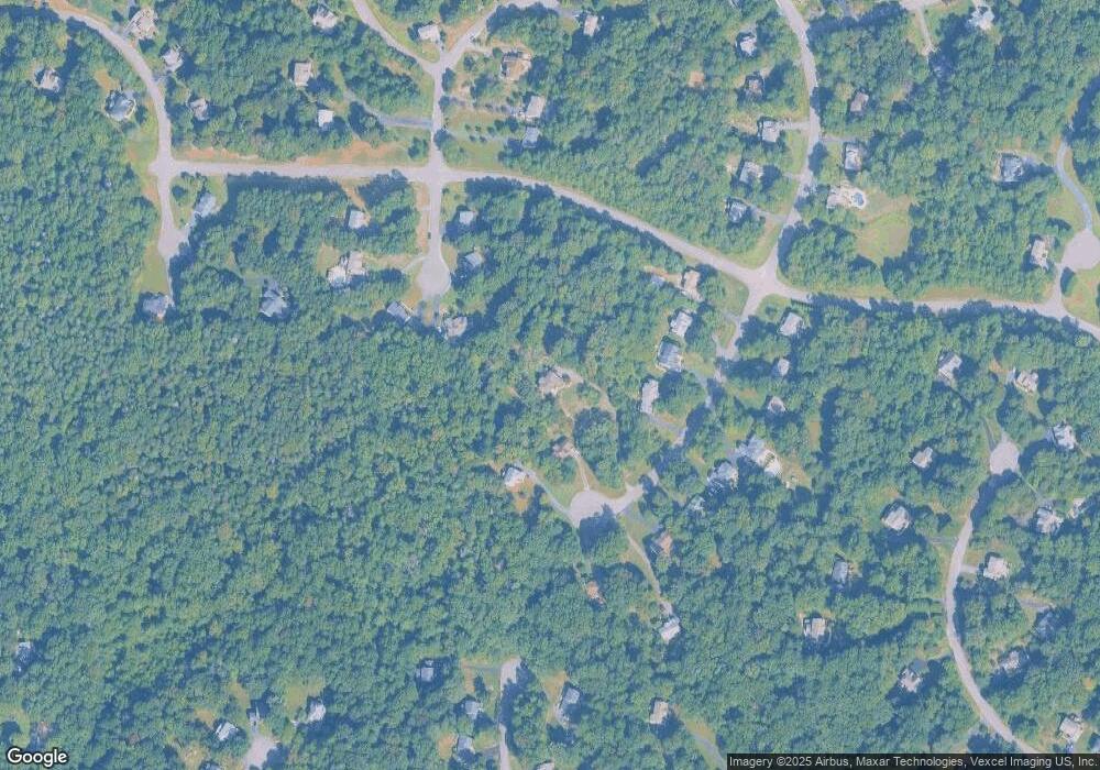
Map
Nearby Homes
- 6504 Basil Ct
- 6704 Fox Den Ct
- 6374 Popwicke Ct
- 6233 Alistair Dr
- 12357 Purcell Rd
- 11505 Whispering Dove Place
- 11480 Whispering Dove Place
- Monticello Plan at Whispering Dove Estates
- 6231 Wild Turkey Ridge Place
- 11175 Stonebrook Dr
- 6917 Stethem Ct
- 12509 Silent Wolf Dr
- 6922 Stethem Ct
- 7124 Dark Forest Dr
- 13044 Terminal Way
- 12849 Hoadly Manor Dr
- 11021 Winding Brook Ct
- 12779 Lost Creek Ct
- 12651 Peak Ct
- 5660 Hoadly Rd
- 12230 Goodland Ct
- 12214 Goodland Ct
- 12234 Goodland Ct
- 12171 Ivakota Ct
- 12210 Goodland Ct
- 12161 Ivakota Ct
- 12206 Goodland Ct
- 12200 Goodland Ct
- 12151 Ivakota Ct
- 12221 Goodland Ct
- 12217 Goodland Ct
- 12233 Goodland Ct
- 12213 Goodland Ct
- 12160 Ivakota Ct
- 12209 Goodland Ct
- 12091 Saranac Place
- 12201 Goodland Ct
- 12205 Goodland Ct
- 12160 Coloriver Rd
- 12150 Ivakota Ct