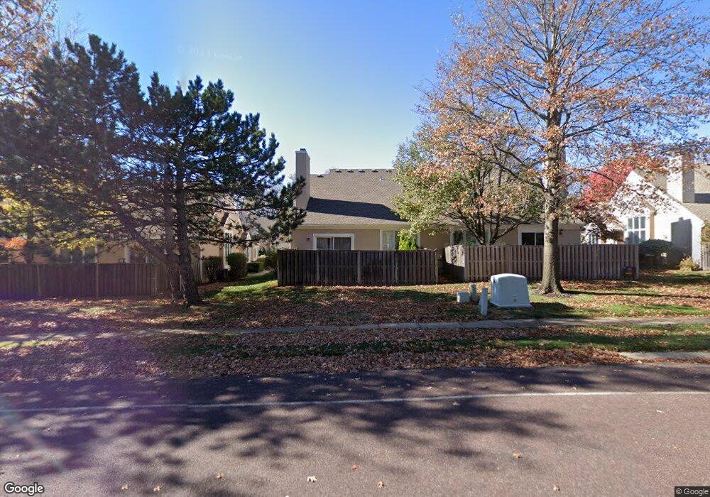
12220 Grant St Overland Park, KS 66213
Nottingham NeighborhoodEstimated Value: $384,000 - $426,000
2
Beds
3
Baths
1,244
Sq Ft
$330/Sq Ft
Est. Value
About This Home
This home is located at 12220 Grant St, Overland Park, KS 66213 and is currently estimated at $410,280, approximately $329 per square foot. 12220 Grant St is a home located in Johnson County with nearby schools including Oak Hill Elementary School, Oxford Middle, and Blue Valley Northwest High School.
Ownership History
Date
Name
Owned For
Owner Type
Purchase Details
Closed on
Dec 21, 2021
Sold by
Wolfe Donald and Wolfe Michelle S
Bought by
Wolfe Donald and Wolfe Michelle
Current Estimated Value
Purchase Details
Closed on
Dec 20, 2021
Sold by
Fritz Susan M and Fritz David A
Bought by
Wolfe Donald and Wolfe Michelle S
Purchase Details
Closed on
Dec 6, 2016
Sold by
Bartolac John A and Carole M Bartolac Trust
Bought by
Fritz Susan M and Fritz David A
Purchase Details
Closed on
Nov 3, 2016
Sold by
Declaration Bartolac John A and Declaration Carole M Bartolac
Bought by
Bartolac John A and Carole M Bartolac Trust
Create a Home Valuation Report for This Property
The Home Valuation Report is an in-depth analysis detailing your home's value as well as a comparison with similar homes in the area
Home Values in the Area
Average Home Value in this Area
Purchase History
| Date | Buyer | Sale Price | Title Company |
|---|---|---|---|
| Wolfe Donald | -- | Platinum Title Llc | |
| Wolfe Donald | -- | Platinum Title Llc | |
| Fritz Susan M | -- | Brokers Title | |
| Bartolac John A | -- | Continental Title |
Source: Public Records
Tax History Compared to Growth
Tax History
| Year | Tax Paid | Tax Assessment Tax Assessment Total Assessment is a certain percentage of the fair market value that is determined by local assessors to be the total taxable value of land and additions on the property. | Land | Improvement |
|---|---|---|---|---|
| 2024 | $4,634 | $45,494 | $6,394 | $39,100 |
| 2023 | $4,489 | $43,206 | $6,394 | $36,812 |
| 2022 | $4,304 | $40,688 | $5,808 | $34,880 |
| 2021 | $3,764 | $33,719 | $5,279 | $28,440 |
| 2020 | $3,695 | $32,879 | $5,279 | $27,600 |
| 2019 | $3,630 | $31,625 | $4,592 | $27,033 |
| 2018 | $3,496 | $29,855 | $4,175 | $25,680 |
| 2017 | $3,151 | $26,450 | $3,795 | $22,655 |
| 2016 | $3,048 | $25,565 | $3,795 | $21,770 |
| 2015 | $2,999 | $25,070 | $3,795 | $21,275 |
| 2013 | -- | $22,609 | $3,795 | $18,814 |
Source: Public Records
Map
Nearby Homes
- 12229 Carter St
- 9505 W 122nd St
- 9424 W 122nd St
- 12313 England St
- 12209 Wedd St
- 9117 W 125th Terrace
- 12553 Grandview St
- 8812 W 124th Terrace
- 11928 Grant St
- 9024 W 121st Terrace
- 8957 W 125th Terrace
- 9001 W 121st Terrace
- 9417 W 120th St
- 12120 Perry St
- 11920 Grandview St
- 12103 Slater St
- 12044 Mackey St
- 11739 Grant St
- 10438 W 125th Terrace
- 13416 W 178th St
- 12220 Grant Ln
- 12218 Grant Ln
- 12218 Grant St
- 12224 Grant St
- 12224 Grant Ln
- 12214 Grant Ln
- 12226 Grant St
- 12214 Grant St
- 12212 Grant St
- 12221 Carter St
- 12219 Grant St
- 12219 Grant Ln
- 12225 Carter St
- 12217 Grant St
- 9523 W 122nd Terrace
- 12217 Grant Ln
- 12223 Grant St
- 12223 Grant Ln
- 12217 Carter St
- 9508 W 122nd Terrace