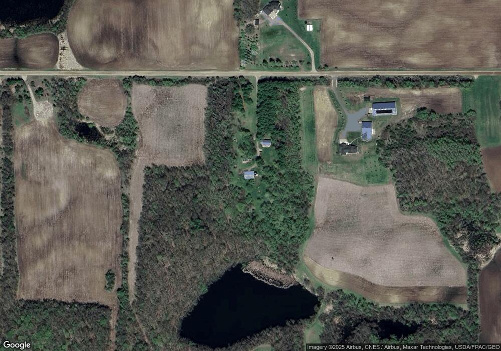
12221 55th St NW Annandale, MN 55302
Estimated Value: $448,000 - $564,000
3
Beds
2
Baths
1,320
Sq Ft
$368/Sq Ft
Est. Value
About This Home
This home is located at 12221 55th St NW, Annandale, MN 55302 and is currently estimated at $485,109, approximately $367 per square foot. 12221 55th St NW is a home located in Wright County with nearby schools including Annandale Elementary School, Annandale Middle School, and Annandale Senior High School.
Ownership History
Date
Name
Owned For
Owner Type
Purchase Details
Closed on
Jan 1, 2013
Sold by
Patricia A Szarke Revocable Trust
Bought by
Schmidt Kyle D and Barnes Tamara L
Current Estimated Value
Home Financials for this Owner
Home Financials are based on the most recent Mortgage that was taken out on this home.
Original Mortgage
$175,000
Interest Rate
6%
Mortgage Type
Land Contract Argmt. Of Sale
Create a Home Valuation Report for This Property
The Home Valuation Report is an in-depth analysis detailing your home's value as well as a comparison with similar homes in the area
Home Values in the Area
Average Home Value in this Area
Purchase History
| Date | Buyer | Sale Price | Title Company |
|---|---|---|---|
| Schmidt Kyle D | $185,000 | -- |
Source: Public Records
Mortgage History
| Date | Status | Borrower | Loan Amount |
|---|---|---|---|
| Previous Owner | Schmidt Kyle D | $175,000 |
Source: Public Records
Tax History Compared to Growth
Tax History
| Year | Tax Paid | Tax Assessment Tax Assessment Total Assessment is a certain percentage of the fair market value that is determined by local assessors to be the total taxable value of land and additions on the property. | Land | Improvement |
|---|---|---|---|---|
| 2025 | $2,566 | $423,600 | $229,000 | $194,600 |
| 2024 | $2,450 | $381,200 | $194,000 | $187,200 |
| 2023 | $2,156 | $369,600 | $194,000 | $175,600 |
| 2022 | $2,356 | $291,400 | $132,000 | $159,400 |
| 2021 | $2,226 | $276,700 | $130,000 | $146,700 |
| 2020 | $2,246 | $249,700 | $110,000 | $139,700 |
| 2019 | $2,122 | $243,200 | $0 | $0 |
| 2018 | $2,004 | $217,900 | $0 | $0 |
| 2017 | $1,898 | $210,700 | $0 | $0 |
| 2016 | $1,848 | $0 | $0 | $0 |
| 2015 | $1,788 | $0 | $0 | $0 |
| 2014 | -- | $0 | $0 | $0 |
Source: Public Records
Map
Nearby Homes
- 3990 Moore Ave NW
- 945 Acacia Cir S
- 844 Beech Ln S
- 750 Morrison Ave S
- 800 Morrison Ave NW
- 520 Douglas Dr S
- 451 Valley Dr W
- 431 Valley Dr W
- 510 Douglas Dr S
- 810 Morrison Ave NW
- 681 Irwin Cir
- 511 Douglas Dr S
- 440 Valley Dr W
- Olson Plan at Triplett Farms
- Lincoln Plan at Triplett Farms
- Goodhue Plan at Triplett Farms
- Henderson Plan at Triplett Farms
- Hancock Plan at Triplett Farms
- Floyd Plan at Triplett Farms
- Hennepin II Plan at Triplett Farms
- 12221 12221 55th-Street-nw
- 12208 55th St NW
- XXX 55th St NW
- 11925 55th St NW
- 5248 Mowery Ave NW
- 5426 Mowery Ave NW
- 11684 55th St NW
- 11665 55th St NW
- 5425 Mowery Ave NW
- 12001 62nd St NW
- 5814 Mowery Ave NW
- 5453 County Road 5 NW
- 5551 County Road 5 NW
- 4751 Morrison Ave NW
- 5164 Locke Ave NW
- 4793 Locke Ave NW
- XXX58 62nd St
- XXX 62nd St NW
- xx 62nd St
- 5474 County Road 5 NW