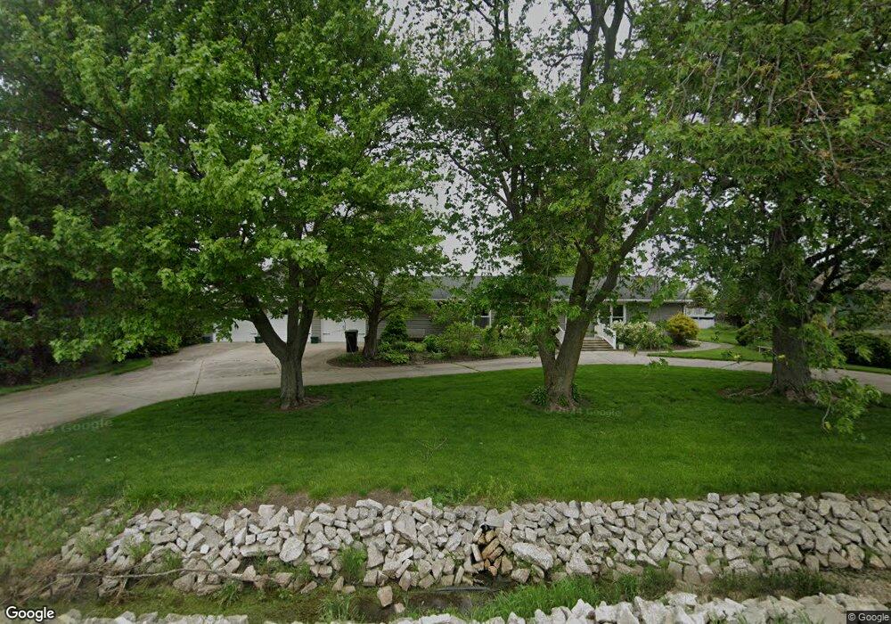
12228 W 181st Ave Unit 10 Lowell, IN 46356
West Creek NeighborhoodEstimated Value: $299,000 - $360,000
3
Beds
3
Baths
1,488
Sq Ft
$213/Sq Ft
Est. Value
About This Home
This home is located at 12228 W 181st Ave Unit 10, Lowell, IN 46356 and is currently estimated at $317,056, approximately $213 per square foot. 12228 W 181st Ave Unit 10 is a home located in Lake County with nearby schools including Lowell Middle School and Lowell Senior High School.
Ownership History
Date
Name
Owned For
Owner Type
Purchase Details
Closed on
Jun 25, 2024
Sold by
Bernard J Pawlasek Trust and Pleyer Judith A
Bought by
Underwood Trevor
Current Estimated Value
Home Financials for this Owner
Home Financials are based on the most recent Mortgage that was taken out on this home.
Original Mortgage
$262,820
Outstanding Balance
$259,834
Interest Rate
7.25%
Mortgage Type
FHA
Estimated Equity
$57,222
Purchase Details
Closed on
Apr 7, 2023
Sold by
Pawlasek Bernard J
Bought by
Bernard J Pawlasek Trust
Create a Home Valuation Report for This Property
The Home Valuation Report is an in-depth analysis detailing your home's value as well as a comparison with similar homes in the area
Home Values in the Area
Average Home Value in this Area
Purchase History
| Date | Buyer | Sale Price | Title Company |
|---|---|---|---|
| Underwood Trevor | $287,000 | None Listed On Document | |
| Bernard J Pawlasek Trust | -- | None Listed On Document |
Source: Public Records
Mortgage History
| Date | Status | Borrower | Loan Amount |
|---|---|---|---|
| Open | Underwood Trevor | $262,820 |
Source: Public Records
Tax History Compared to Growth
Tax History
| Year | Tax Paid | Tax Assessment Tax Assessment Total Assessment is a certain percentage of the fair market value that is determined by local assessors to be the total taxable value of land and additions on the property. | Land | Improvement |
|---|---|---|---|---|
| 2024 | $4,247 | $227,500 | $49,700 | $177,800 |
| 2023 | $1,770 | $225,400 | $49,700 | $175,700 |
| 2022 | $1,770 | $217,000 | $49,700 | $167,300 |
| 2021 | $1,414 | $187,000 | $36,200 | $150,800 |
| 2020 | $1,313 | $181,600 | $36,200 | $145,400 |
| 2019 | $1,314 | $173,100 | $36,200 | $136,900 |
| 2018 | $1,228 | $164,800 | $36,200 | $128,600 |
| 2017 | $1,095 | $145,400 | $36,200 | $109,200 |
| 2016 | $984 | $138,100 | $36,200 | $101,900 |
| 2014 | $932 | $136,400 | $36,100 | $100,300 |
| 2013 | $977 | $136,700 | $36,200 | $100,500 |
Source: Public Records
Map
Nearby Homes
- 13351 W 181st Ave
- 14376 W 185th Ave
- 13199 W 169th Ave
- 16280 Parrish Ave
- 615 Debra Kay Dr
- 872 Valley View Dr
- 688 Village Pkwy
- 8817 Graystone Dr
- 18587 Hemlock Ln
- 739 Cheyenne Dr
- 8723 Graystone Dr
- 711 Shawnee Ct
- 654 Cheyenne Dr
- 330 Willow St
- 18883 Oxford Ct
- 611 Iowa Dr
- 8517 Norwell St
- 8520 Norwell St
- 8503 Norwell St
- 17215 Adams Dr
- 12310 W 181st Ave
- 12310 W 181 Ave
- 12210 W 181st Ave
- 12220 W 181st Ave Unit 10
- 12402 W 181st Ave Unit 10
- 12214 W 181st Ave
- 12406 W 181st Ave
- 12414 W 181st Ave Unit 10
- 12504 W 181st Ave Unit 10
- 12202 W 181st Ave Unit 10
- 12508 W 181st Ave
- 12512 W 181st Ave Unit 10
- 12012 W 181st Ave
- 12606 W 181st Ave
- 12008 W 181st Ave
- 12002 W 181st Ave Unit 10
- 12618 W 181st Ave
- 12702 W 181st Ave
- 11910 W 181st Ave Unit 10
- 12708 W 181st Ave Unit 10