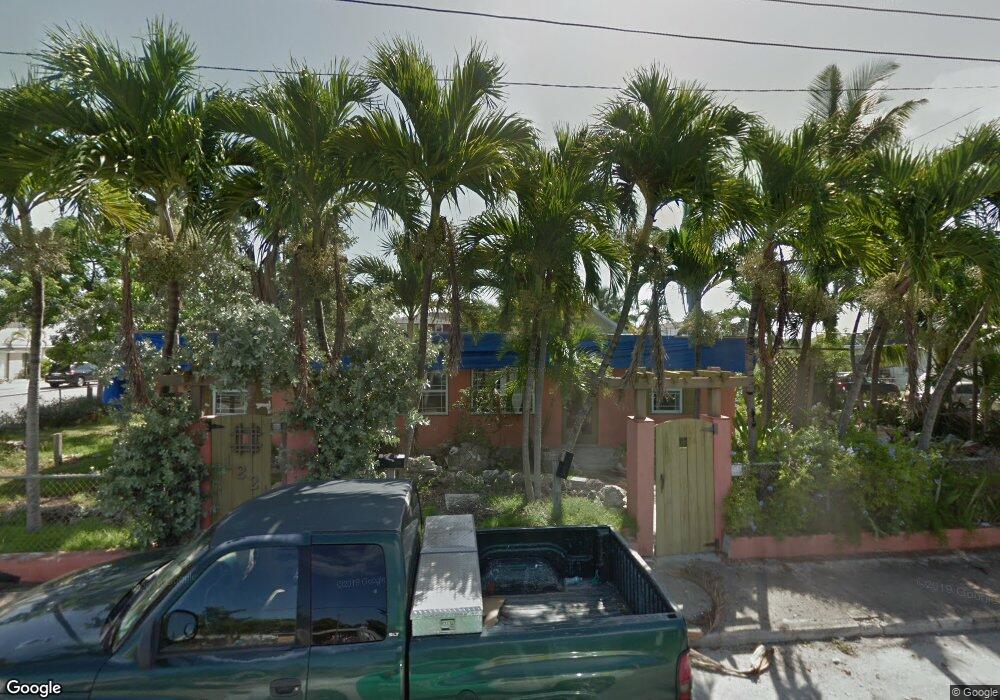
1223 1st St Key West, FL 33040
Mid Town NeighborhoodEstimated Value: $690,192 - $1,202,000
4
Beds
2
Baths
1,500
Sq Ft
$625/Sq Ft
Est. Value
About This Home
This home is located at 1223 1st St, Key West, FL 33040 and is currently estimated at $937,798, approximately $625 per square foot. 1223 1st St is a home located in Monroe County with nearby schools including Horace O'Bryant School, Key West High School, and May Sands Montessori School.
Ownership History
Date
Name
Owned For
Owner Type
Purchase Details
Closed on
May 30, 2017
Sold by
Graham Luke
Bought by
Brown J Douglas and J Douglas Brown Trust
Current Estimated Value
Purchase Details
Closed on
Jul 22, 2016
Bought by
Hsbc Bank Usa
Purchase Details
Closed on
Apr 7, 1998
Sold by
Chibbaro Rose A
Bought by
Panrock Robert A
Home Financials for this Owner
Home Financials are based on the most recent Mortgage that was taken out on this home.
Original Mortgage
$142,800
Interest Rate
6.95%
Mortgage Type
Commercial
Purchase Details
Closed on
Nov 1, 1983
Bought by
Hsbc Bank Usa
Purchase Details
Closed on
Nov 1, 1981
Bought by
Hsbc Bank Usa
Purchase Details
Closed on
Feb 1, 1977
Bought by
Hsbc Bank Usa
Create a Home Valuation Report for This Property
The Home Valuation Report is an in-depth analysis detailing your home's value as well as a comparison with similar homes in the area
Home Values in the Area
Average Home Value in this Area
Purchase History
| Date | Buyer | Sale Price | Title Company |
|---|---|---|---|
| Brown J Douglas | $415,000 | Attorney | |
| Hsbc Bank Usa | $100 | -- | |
| Panrock Robert A | $204,000 | -- | |
| Hsbc Bank Usa | $87,000 | -- | |
| Hsbc Bank Usa | $72,800 | -- | |
| Hsbc Bank Usa | $29,000 | -- |
Source: Public Records
Mortgage History
| Date | Status | Borrower | Loan Amount |
|---|---|---|---|
| Previous Owner | Panrock Robert A | $328,125 | |
| Previous Owner | Panrock Robert A | $10,000 | |
| Previous Owner | Panrock Robert A | $180,000 | |
| Previous Owner | Panrock Robert A | $142,800 |
Source: Public Records
Tax History Compared to Growth
Tax History
| Year | Tax Paid | Tax Assessment Tax Assessment Total Assessment is a certain percentage of the fair market value that is determined by local assessors to be the total taxable value of land and additions on the property. | Land | Improvement |
|---|---|---|---|---|
| 2024 | $5,855 | $670,512 | $423,274 | $247,238 |
| 2023 | $5,855 | $663,555 | $418,673 | $244,882 |
| 2022 | $5,220 | $569,473 | $358,862 | $210,611 |
| 2021 | $4,827 | $453,546 | $273,748 | $179,798 |
| 2020 | $4,655 | $451,245 | $271,447 | $179,798 |
| 2019 | $4,259 | $388,301 | $205,886 | $182,415 |
| 2018 | $4,560 | $415,073 | $230,040 | $185,033 |
| 2017 | $4,480 | $398,970 | $0 | $0 |
| 2016 | $3,528 | $334,630 | $0 | $0 |
| 2015 | $3,476 | $322,986 | $0 | $0 |
| 2014 | $3,318 | $280,101 | $0 | $0 |
Source: Public Records
Map
Nearby Homes
- 1920 Patterson Ave
- 1830 Fogarty Ave Unit 4
- 1925 Fogarty Ave
- 1824 Fogarty Ave
- 1730 United St
- 2016 Fogarty Ave
- 1215 Bay St
- 1821 Harris Ave
- 1718 United St
- 1708 Duncan St
- 1704 Duncan St
- 1706 Seminary St
- 1916 Seidenberg Ave
- 1400 1st St
- 2105 Fogarty Ave
- 1719 Washington St
- 1703 South St
- 2109 Seidenberg Ave
- 1801 N Roosevelt Blvd Unit M28
- 1801 N Roosevelt Blvd Unit 8
- 1223 First St
- 1221 1st St
- 1908 Roosevelt Dr
- 1906 Roosevelt Dr
- 1227 1st St
- 1909 Patterson Ave
- 1907 Patterson Ave
- 1912 Roosevelt Dr
- 1901 Roosevelt Dr Unit 104N
- 1911 Patterson Ave
- 1215 1st St
- 1909 Roosevelt Dr
- 1213 First St
- 1913 Patterson Ave
- 1213 1st St
- 1907 Roosevelt Dr
- 1907 Roosevelt Dr Unit 1,2,3,4
- 1212 Bay St
- 1211 1st St Unit 2 & 3
- 1917 Patterson Ave