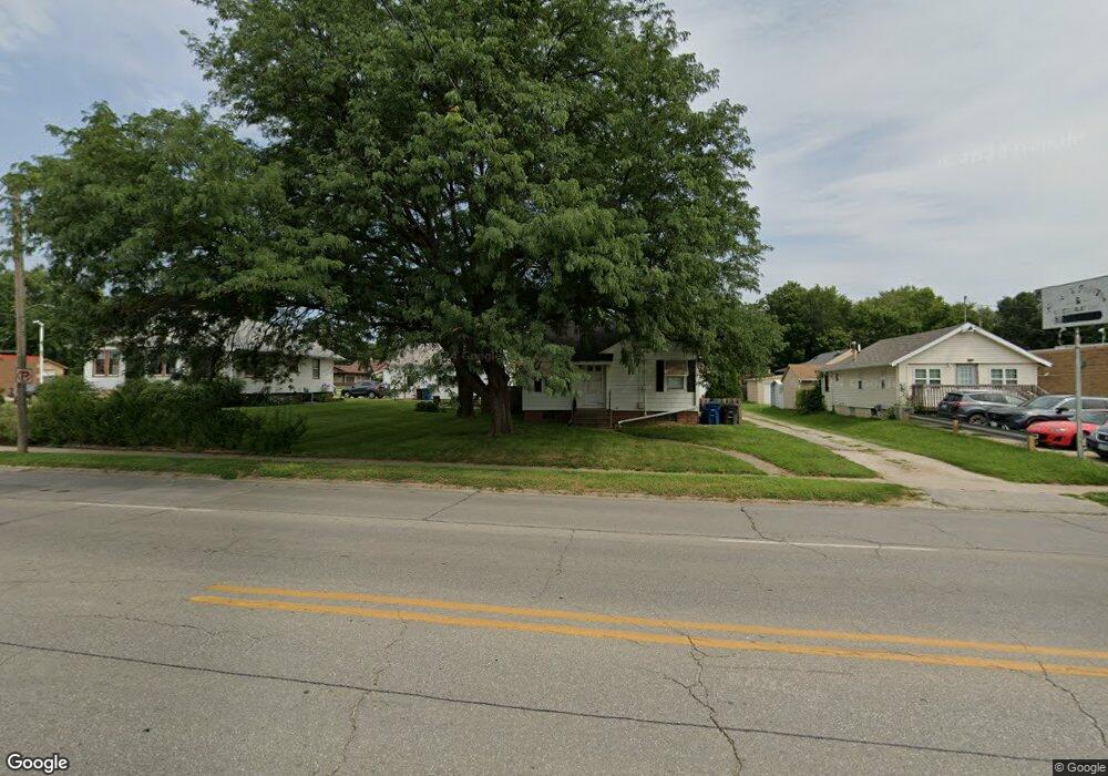
1223 Army Post Rd Des Moines, IA 50315
Watrous South NeighborhoodEstimated Value: $121,000 - $139,000
2
Beds
1
Bath
728
Sq Ft
$175/Sq Ft
Est. Value
About This Home
Property Id: 2111061
Welcome to your charming 2 bedroom, 1 bathroom single family home in Des Moines, IA! This cozy property features a fenced yard with gazebo, double car detached garage and washer/dryer hookups. With hardwood floors, central AC, and a convenient location, this home won't last long. No pets allowed. Don't miss out on this gem for $1200/month.Tenant pays all utilities and responsible for lawn mowing and snow removal.Gross monthly income to be a least 3 times the monthly rent.Credit score of 600 and above required. Background and credit check required.
Ownership History
Date
Name
Owned For
Owner Type
Purchase Details
Closed on
Sep 10, 2004
Sold by
Kenney Leland D and Clark Irene V
Bought by
Dawson Thomas L and Dawson Patricia
Current Estimated Value
Purchase Details
Closed on
Aug 3, 2004
Sold by
Kenney Leland
Bought by
Clark Irene
Create a Home Valuation Report for This Property
The Home Valuation Report is an in-depth analysis detailing your home's value as well as a comparison with similar homes in the area
Home Values in the Area
Average Home Value in this Area
Purchase History
| Date | Buyer | Sale Price | Title Company |
|---|---|---|---|
| Dawson Thomas L | $71,000 | -- | |
| Clark Irene | -- | -- |
Source: Public Records
Property History
| Date | Event | Price | List to Sale | Price per Sq Ft |
|---|---|---|---|---|
| 09/15/2025 09/15/25 | For Rent | $1,200 | -- | -- |
Tax History Compared to Growth
Tax History
| Year | Tax Paid | Tax Assessment Tax Assessment Total Assessment is a certain percentage of the fair market value that is determined by local assessors to be the total taxable value of land and additions on the property. | Land | Improvement |
|---|---|---|---|---|
| 2025 | $1,998 | $114,100 | $35,500 | $78,600 |
| 2024 | $1,998 | $101,600 | $31,100 | $70,500 |
| 2023 | $1,992 | $101,600 | $31,100 | $70,500 |
| 2022 | $1,976 | $84,500 | $26,600 | $57,900 |
| 2021 | $1,922 | $84,500 | $26,600 | $57,900 |
| 2020 | $1,996 | $77,000 | $24,000 | $53,000 |
| 2019 | $1,876 | $77,000 | $24,000 | $53,000 |
| 2018 | $1,856 | $69,800 | $21,200 | $48,600 |
| 2017 | $1,742 | $69,800 | $21,200 | $48,600 |
| 2016 | $1,698 | $64,400 | $19,300 | $45,100 |
| 2015 | $1,698 | $64,400 | $19,300 | $45,100 |
| 2014 | $1,496 | $58,400 | $17,200 | $41,200 |
Source: Public Records
Map
Nearby Homes
- 1225 West St
- 1214 Leland Ave
- 1310 Leland Ave
- 6205 SW 12th St
- 6107 SW 14th St
- 6001 SW 13th Place
- 1161 Bundy St
- 1500 Leland Ave
- 1313 Burnham Ave
- 1210 Highview Dr
- 1029 Bundy St
- 1419 Payton Ave
- 1304 Wall Ave
- 1115 Rittenhouse St
- 1010 Frederick Ave
- 1115 Wade St
- 1801 Payton Ave
- 1334 Wade St
- 1616 Southlawn Dr
- 1306 Amos Ave
- 1225 Army Post Rd
- 6207 SW 13th St
- 6205 SW 13th St
- 6304 SW 12th Place
- 6203 SW 13th St
- 6302 SW 12th Place
- 1228 Army Post Rd
- 1226 Army Post Rd
- 6213 SW 13th St
- 6240 SW 13th St
- 6234 SW 13th St
- 6201 SW 13th St
- 6208 SW 13th St
- 1210 Army Post Rd
- 1229 West St
- 1203 Army Post Rd
- 1219 West St
- 1210 & 1220 Army Post Rd
- 1211 West St
- 1218 Leland Ave