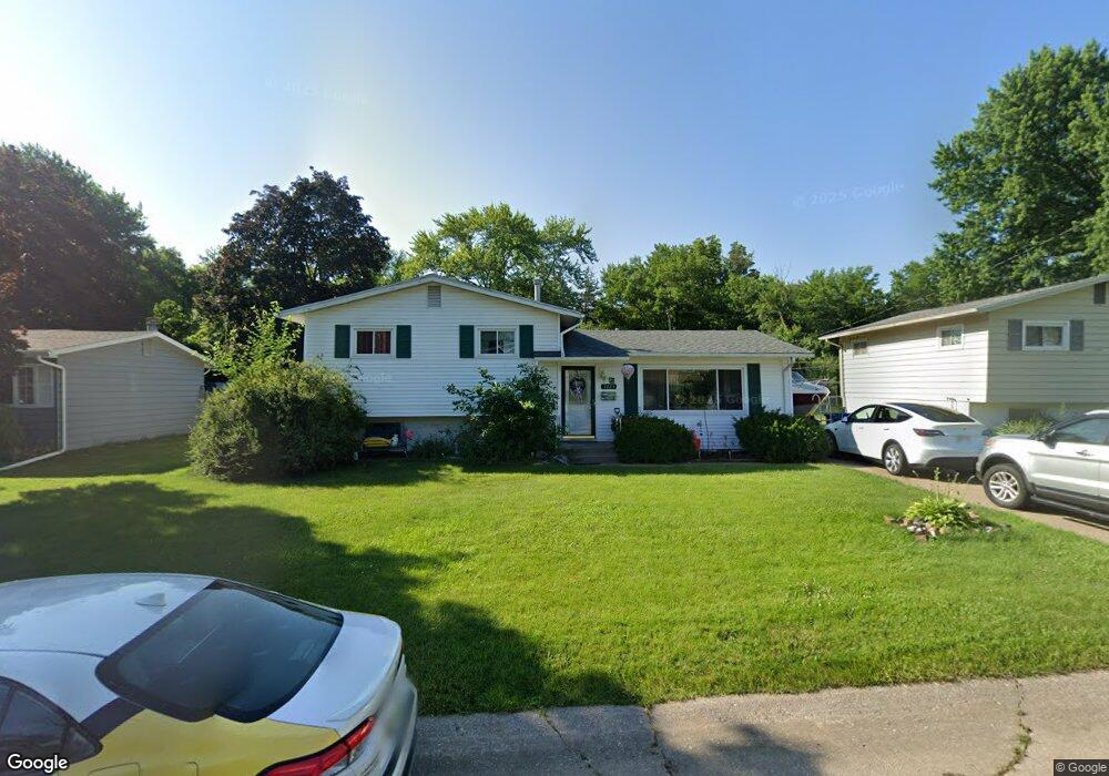
1223 Meadow Lane Dr Bettendorf, IA 52722
Estimated Value: $192,349 - $217,000
3
Beds
1
Bath
1,056
Sq Ft
$194/Sq Ft
Est. Value
About This Home
This home is located at 1223 Meadow Lane Dr, Bettendorf, IA 52722 and is currently estimated at $204,337, approximately $193 per square foot. 1223 Meadow Lane Dr is a home located in Scott County with nearby schools including Mark Twain Elementary School, Bettendorf Middle School, and Bettendorf High School.
Ownership History
Date
Name
Owned For
Owner Type
Purchase Details
Closed on
Jul 22, 2014
Sold by
Brown Donald R and Brown Elaine A
Bought by
Brown Donald R and Brown Elaine A
Current Estimated Value
Purchase Details
Closed on
Jan 8, 2009
Sold by
Brown Donald R and Brown Elaine A
Bought by
Brown Donald R and Brown Elaine A
Create a Home Valuation Report for This Property
The Home Valuation Report is an in-depth analysis detailing your home's value as well as a comparison with similar homes in the area
Home Values in the Area
Average Home Value in this Area
Purchase History
| Date | Buyer | Sale Price | Title Company |
|---|---|---|---|
| Brown Donald R | -- | None Available | |
| Brown Donald R | -- | None Available |
Source: Public Records
Tax History Compared to Growth
Tax History
| Year | Tax Paid | Tax Assessment Tax Assessment Total Assessment is a certain percentage of the fair market value that is determined by local assessors to be the total taxable value of land and additions on the property. | Land | Improvement |
|---|---|---|---|---|
| 2025 | $2,244 | $182,400 | $42,600 | $139,800 |
| 2024 | $2,220 | $163,700 | $25,300 | $138,400 |
| 2023 | $2,276 | $163,700 | $25,300 | $138,400 |
| 2022 | $2,252 | $141,600 | $25,280 | $116,320 |
| 2021 | $2,252 | $141,600 | $25,280 | $116,320 |
| 2020 | $2,156 | $130,950 | $25,280 | $105,670 |
| 2019 | $2,168 | $127,870 | $25,280 | $102,590 |
| 2018 | $2,164 | $127,870 | $25,280 | $102,590 |
| 2017 | $693 | $127,870 | $25,280 | $102,590 |
| 2016 | $1,858 | $111,600 | $0 | $0 |
| 2015 | $1,858 | $107,370 | $0 | $0 |
| 2014 | $2,028 | $107,370 | $0 | $0 |
| 2013 | $1,984 | $0 | $0 | $0 |
| 2012 | -- | $108,500 | $26,860 | $81,640 |
Source: Public Records
Map
Nearby Homes
- 1212 Meadow Lane Dr
- 1209 Meadow Lane Dr
- 60 Parklane Cir
- 1 Oak Park Dr
- 1520 Parklane Dr
- 1101 Hawthorne Dr
- 1705 Elmwood Dr
- 2507 Holly Dr
- 1902 Parkway Dr
- 2612 Crestview Dr
- 2625 Holly Dr
- 3418 Middle Rd
- 1718 Fairmeadows Dr
- 1360 Heights Ct
- 16 Wildwood Trail
- 1503 Alcoa Ave
- 1319 Heights Ct
- 1834 Anderson Ct
- 2704 Magnolia Dr
- 2620 Harmony Dr
- 1219 Meadow Lane Dr
- 1229 Meadow Lane Dr
- 1219 Meadow
- 36 Parklane Cir
- 34 Parklane Cir
- 1215 Meadow Lane Dr
- 1233 Meadow Lane Dr
- 38 Parklane Cir
- 32 Parklane Cir
- 1220 Meadow Lane Dr
- 1228 Meadow Lane Dr
- 1237 Meadow Lane Dr
- 1232 Meadow Lane Dr
- 40 Parklane Cir
- 30 Parklane Cir
- 1236 Meadow Lane Dr
- 1205 Meadow Lane Dr
- 1241 Meadow Lane Dr
- 37 Parklane Cir
- 1208 Meadow Lane Dr