Estimated Value: $513,000 - $567,000
4
Beds
3
Baths
1,694
Sq Ft
$323/Sq Ft
Est. Value
About This Home
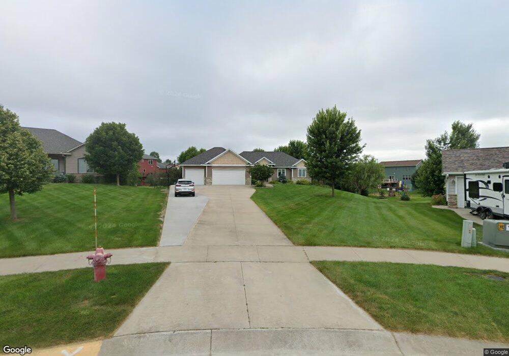
This home is located at 1223 Wynnsong Ct NW, Byron, MN 55920 and is currently estimated at $546,448, approximately $322 per square foot. 1223 Wynnsong Ct NW is a home located in Olmsted County with nearby schools including Byron Intermediate School and Byron Senior High School.
Ownership History
Date
Name
Owned For
Owner Type
Purchase Details
Closed on
Feb 18, 2008
Sold by
Stangler Keith W and Stangler Karen A
Bought by
Rossow Ryan S and Rossow Sarah
Current Estimated Value
Create a Home Valuation Report for This Property
The Home Valuation Report is an in-depth analysis detailing your home's value as well as a comparison with similar homes in the area
Home Values in the Area
Average Home Value in this Area
Purchase History
| Date | Buyer | Sale Price | Title Company |
|---|---|---|---|
| Rossow Ryan S | $53,000 | Rochester Title |
Source: Public Records
Tax History Compared to Growth
Tax History
| Year | Tax Paid | Tax Assessment Tax Assessment Total Assessment is a certain percentage of the fair market value that is determined by local assessors to be the total taxable value of land and additions on the property. | Land | Improvement |
|---|---|---|---|---|
| 2024 | $8,050 | $499,400 | $75,000 | $424,400 |
| 2023 | $7,836 | $495,800 | $75,000 | $420,800 |
| 2022 | $7,408 | $465,200 | $75,000 | $390,200 |
| 2021 | $6,666 | $404,600 | $65,000 | $339,600 |
| 2020 | $6,422 | $389,000 | $65,000 | $324,000 |
| 2019 | $5,964 | $366,800 | $55,000 | $311,800 |
| 2018 | $5,816 | $343,600 | $50,000 | $293,600 |
| 2017 | $5,622 | $340,400 | $50,000 | $290,400 |
| 2016 | $5,140 | $318,900 | $48,800 | $270,100 |
| 2015 | $4,956 | $284,400 | $43,400 | $241,000 |
| 2014 | $4,148 | $284,400 | $43,400 | $241,000 |
| 2012 | -- | $255,600 | $42,806 | $212,794 |
Source: Public Records
Map
Nearby Homes
- 925 Byron Ave N
- 105 Somerby Pkwy NE
- 154 Somerby Pkwy NE
- 172 Somerby Pkwy NE
- 910 Byron Ave N
- 190 Somerby Pkwy NE
- 208 Somerby Pkwy NE
- 1405 Somerby Pkwy NE
- 1413 Somerby Pkwy NE
- 226 Somerby Pkwy NE
- 244 Somerby Pkwy NE
- 264 Somerby Pkwy NE
- 1404 Somerby Pkwy NE
- 1412 Somerby Pkwy NE
- 283 Somerby Pkwy NE
- 301 Somerby Pkwy NE
- 319 Somerby Pkwy NE
- 337 Somerby Pkwy NE
- 355 Somerby Pkwy NE
- 1400 Delamere Dr NE
- 1239 Wynnsong Ct NW
- 1212 5th Ave NW
- 459 12th St NW
- 435 12th St NW
- 467 12th St NW
- 421 12th St NW
- 1228 5th Ave NW
- 1255 Wynnsong Ct NW
- 1224 Wynnsong Ct NW
- 489 12th St NW
- 403 12th St NW
- 1244 5th Ave NW
- 424 Wynnsong Dr NW
- 1240 Wynnsong Ct NW
- 385 12th St NW
- 418 12th St NW
- 452 12th St NW
- 410 Wynnsong Dr NW
- 430 12th St NW
- 494 12th St NW