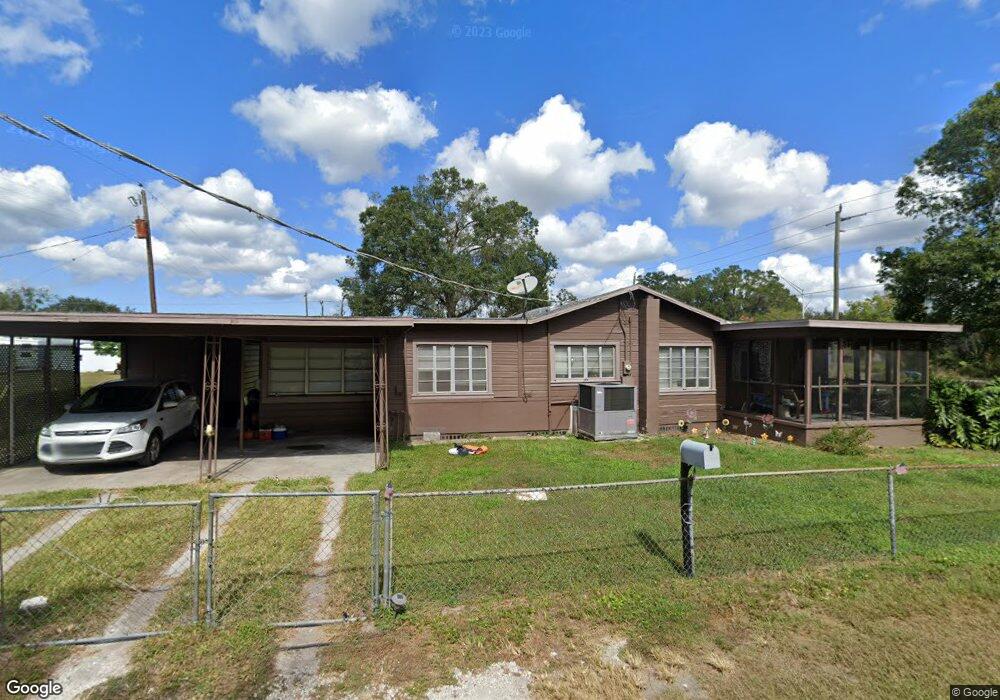
12236 Us Highway 301 N Parrish, FL 34219
Estimated Value: $170,000 - $422,000
2
Beds
2
Baths
2,094
Sq Ft
$131/Sq Ft
Est. Value
About This Home
This home is located at 12236 Us Highway 301 N, Parrish, FL 34219 and is currently estimated at $275,156, approximately $131 per square foot. 12236 Us Highway 301 N is a home located in Manatee County with nearby schools including Barbara A. Harvey Elementary School, Buffalo Creek Middle School, and Parrish Community High School.
Ownership History
Date
Name
Owned For
Owner Type
Purchase Details
Closed on
Dec 30, 2022
Sold by
Maxwell Dale Russell
Bought by
Dale And Diane Maxwell Family Trust
Current Estimated Value
Purchase Details
Closed on
Oct 31, 2005
Sold by
Marquart Craig V and Albritton Elizabeth A
Bought by
Maxwell Dale R and Celli Guy
Home Financials for this Owner
Home Financials are based on the most recent Mortgage that was taken out on this home.
Original Mortgage
$175,000
Interest Rate
5.76%
Mortgage Type
Purchase Money Mortgage
Purchase Details
Closed on
Jan 18, 2005
Sold by
Egyed Joseph and Egyed Katharina
Bought by
Maxwell Dale R and Celli Guy
Create a Home Valuation Report for This Property
The Home Valuation Report is an in-depth analysis detailing your home's value as well as a comparison with similar homes in the area
Home Values in the Area
Average Home Value in this Area
Purchase History
| Date | Buyer | Sale Price | Title Company |
|---|---|---|---|
| Dale And Diane Maxwell Family Trust | $100 | -- | |
| Maxwell Dale R | $187,000 | Manatee Pinellas Title | |
| Maxwell Dale R | $125,000 | Chelsea Title Company |
Source: Public Records
Mortgage History
| Date | Status | Borrower | Loan Amount |
|---|---|---|---|
| Previous Owner | Maxwell Dale R | $175,000 |
Source: Public Records
Tax History
| Year | Tax Paid | Tax Assessment Tax Assessment Total Assessment is a certain percentage of the fair market value that is determined by local assessors to be the total taxable value of land and additions on the property. | Land | Improvement |
|---|---|---|---|---|
| 2025 | $2,231 | $146,501 | $26,489 | $120,012 |
| 2023 | $2,231 | $156,297 | $26,489 | $129,808 |
| 2022 | $2,031 | $138,584 | $28,061 | $110,523 |
| 2021 | $1,720 | $107,304 | $28,061 | $79,243 |
| 2020 | $1,600 | $98,090 | $22,621 | $75,469 |
| 2019 | $1,543 | $98,226 | $22,621 | $75,605 |
| 2018 | $1,404 | $85,962 | $10,450 | $75,512 |
| 2017 | $1,229 | $78,215 | $0 | $0 |
| 2016 | $1,178 | $75,123 | $0 | $0 |
Source: Public Records
Map
Nearby Homes
- 7121 122nd Ave E
- 12120 71st St E
- 12300 Parrish Cemetary Rd
- 6927 Indus Valley Cir
- 7107 Indus Valley Cir
- 12345 Parrish Cemetary Rd
- 12306 Oak Hill Way
- 12310 Oak Hill Way
- 12346 U S 301
- 12342 Oak Hill Way
- 12369 Oak Hill Way
- 12373 Oak Hill Way
- 12377 Oak Hill Way
- 12350 Oak Hill Way
- 12358 Oak Hill Way
- 12362 Oak Hill Way
- 12366 Oak Hill Way
- 12374 Oak Hill Way
- 12730 Hysmith Loop
- 7635 Twin Leaf Terrace
- 12236 U S 301
- 12240 Us Highway 301 N
- 12230 Us Highway 301 N
- 7202 122nd Ave E
- 12244 Us Highway 301 N
- 7118 122nd Ave E
- 7208 122nd Ave E
- 12210 71st St E
- 7129 122nd Ave E
- 7125 Avenue E
- 12245 N Us Hwy 301
- 7125 122nd Ave E
- 12250 Us Hwy 301n
- 7209 122nd Ave E
- 12121 72nd St E
- 12225 Us 301 N
- 12120 73rd St E
- 7204 121st Ave E
- 7118 121st Ave E
- 7216 121st Ave E
Your Personal Tour Guide
Ask me questions while you tour the home.