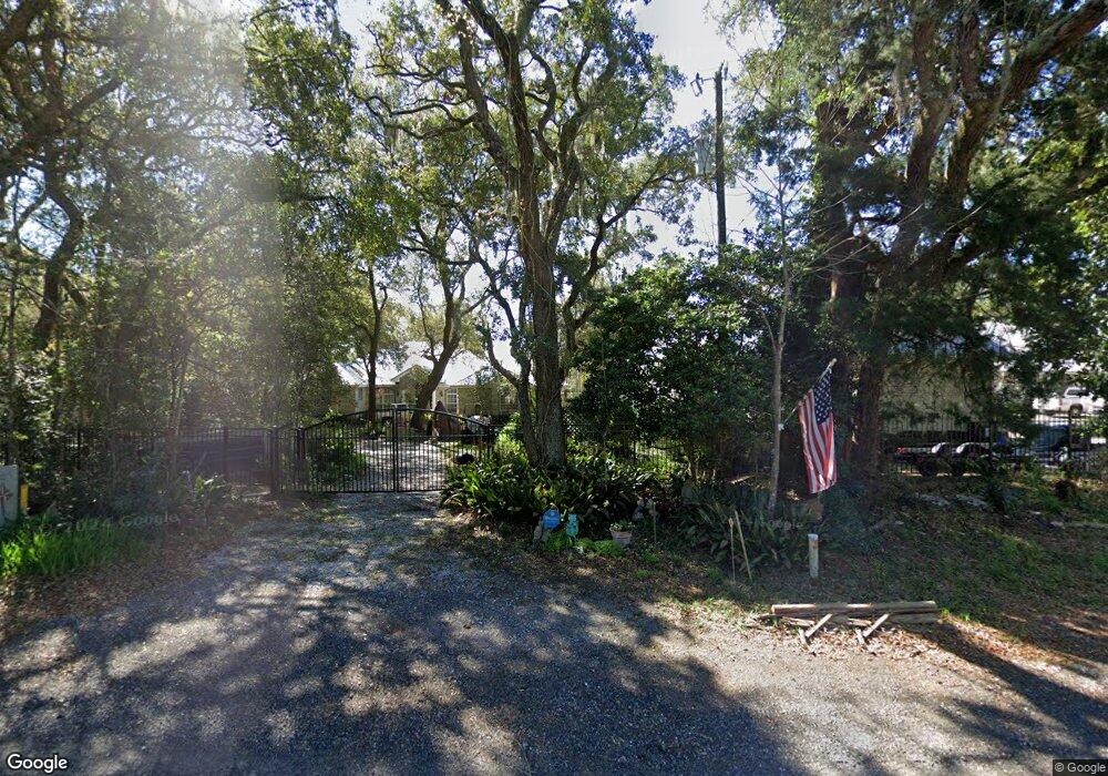
12239 State Highway 20 W Freeport, FL 32439
Estimated Value: $874,000 - $1,159,000
4
Beds
4
Baths
4,250
Sq Ft
$251/Sq Ft
Est. Value
About This Home
This home is located at 12239 State Highway 20 W, Freeport, FL 32439 and is currently estimated at $1,065,851, approximately $250 per square foot. 12239 State Highway 20 W is a home located in Walton County with nearby schools including Freeport Elementary School, Freeport Middle School, and Freeport Senior High School.
Ownership History
Date
Name
Owned For
Owner Type
Purchase Details
Closed on
Dec 21, 2022
Sold by
Clements Sonja M
Bought by
Billhimer John T and Billhimer Elizabeth
Current Estimated Value
Purchase Details
Closed on
Mar 12, 2014
Sold by
Billhimer John T and Billhimer Elizabeth
Bought by
Clements Sonja M
Purchase Details
Closed on
Mar 4, 2010
Sold by
Hal Family Partnership Ltd
Bought by
Billhimer John T and Billhimer Elizabeth
Home Financials for this Owner
Home Financials are based on the most recent Mortgage that was taken out on this home.
Original Mortgage
$228,750
Interest Rate
6.25%
Mortgage Type
Future Advance Clause Open End Mortgage
Purchase Details
Closed on
Mar 3, 2009
Sold by
Laird Harry A
Bought by
Hal Family Partnership Ltd
Purchase Details
Closed on
Sep 16, 2005
Sold by
Harrell William H and Harrell Evelyn
Bought by
Laird Harry A
Create a Home Valuation Report for This Property
The Home Valuation Report is an in-depth analysis detailing your home's value as well as a comparison with similar homes in the area
Home Values in the Area
Average Home Value in this Area
Purchase History
| Date | Buyer | Sale Price | Title Company |
|---|---|---|---|
| Billhimer John T | $100 | -- | |
| Clements Sonja M | -- | None Available | |
| Billhimer John T | $305,000 | None Available | |
| Hal Family Partnership Ltd | $2,000 | Multiple | |
| Laird Harry A | $500,000 | Southern Escrow & Title Llc |
Source: Public Records
Mortgage History
| Date | Status | Borrower | Loan Amount |
|---|---|---|---|
| Previous Owner | Billhimer John T | $228,750 |
Source: Public Records
Tax History Compared to Growth
Tax History
| Year | Tax Paid | Tax Assessment Tax Assessment Total Assessment is a certain percentage of the fair market value that is determined by local assessors to be the total taxable value of land and additions on the property. | Land | Improvement |
|---|---|---|---|---|
| 2024 | $4,628 | $607,291 | -- | -- |
| 2023 | $4,628 | $589,603 | $0 | $0 |
| 2022 | $4,610 | $574,115 | $0 | $0 |
| 2021 | $4,669 | $555,606 | $0 | $0 |
| 2020 | $4,746 | $569,990 | $136,372 | $433,618 |
| 2019 | $4,373 | $509,381 | $0 | $0 |
| 2018 | $4,303 | $499,741 | $0 | $0 |
| 2017 | $4,236 | $490,643 | $0 | $0 |
| 2016 | $4,186 | $480,524 | $0 | $0 |
| 2015 | $1,050 | $110,355 | $0 | $0 |
| 2014 | $1,066 | $110,355 | $0 | $0 |
Source: Public Records
Map
Nearby Homes
- Lot 24 W St Highway 20
- Lot 29 W State Hwy 20
- 342 Eastern St
- 61 Spruce St
- 120 Darrell Ct
- 13000 State Highway 20 W
- Lots 1 & 2 Gum St
- 106 Beech St
- 13636 Florida 20
- Lot 11 Live Oak St
- Lot 20 Satsuma Rd
- 219 Satsuma Rd
- 14138 State Highway 20
- 14212 Fl-20
- 14351 State Highway 20
- 630 Satsuma Rd
- 676 Satsuma Rd
- 00 Cypress St
- 13 Magnolia St
- 87 Homestead St
- 12223 State Highway 20 W
- 12249 State Highway 20 W
- 12265 State Highway 20 W
- 12291 State Highway 20 W
- 12256 State Highway 20 W
- 000 Hwy 20 Lot 26 Block B
- 12220 State Highway 20 W
- 26 Center St
- 12311 State Highway 20 W
- 8 Florida 20
- 39 Eastern St
- 15 Center St
- 12325 State Highway 20 W
- XXX Center St
- 72 Eastern St
- 75 Eastern St
- 67 Eastern St
- 12349 State Highway 20 W
- 12349 State Highway 20 W Unit CO
- 39 Center St