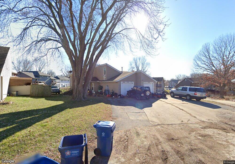
1224 Geneva Cir Kearney, MO 64060
Estimated Value: $279,000 - $331,000
3
Beds
2
Baths
1,392
Sq Ft
$212/Sq Ft
Est. Value
About This Home
This home is located at 1224 Geneva Cir, Kearney, MO 64060 and is currently estimated at $295,015, approximately $211 per square foot. 1224 Geneva Cir is a home located in Clay County with nearby schools including Kearney Junior High School, Kearney High School, and Northern Hills Christian Academy.
Ownership History
Date
Name
Owned For
Owner Type
Purchase Details
Closed on
Sep 14, 2001
Sold by
Speath Jason Anthony and Spaeth Cecilia V
Bought by
Sohm Drew T
Current Estimated Value
Home Financials for this Owner
Home Financials are based on the most recent Mortgage that was taken out on this home.
Original Mortgage
$119,700
Interest Rate
8%
Purchase Details
Closed on
Jan 15, 1998
Sold by
Mallen Bernard J and Mallen Mary Phyllis
Bought by
Speath Jason Anthony and Spaeth Jason A
Home Financials for this Owner
Home Financials are based on the most recent Mortgage that was taken out on this home.
Original Mortgage
$125,970
Interest Rate
7.13%
Mortgage Type
VA
Create a Home Valuation Report for This Property
The Home Valuation Report is an in-depth analysis detailing your home's value as well as a comparison with similar homes in the area
Home Values in the Area
Average Home Value in this Area
Purchase History
| Date | Buyer | Sale Price | Title Company |
|---|---|---|---|
| Sohm Drew T | -- | First American Title Ins Co | |
| Speath Jason Anthony | -- | -- |
Source: Public Records
Mortgage History
| Date | Status | Borrower | Loan Amount |
|---|---|---|---|
| Closed | Sohm Drew T | $119,700 | |
| Previous Owner | Speath Jason Anthony | $125,970 |
Source: Public Records
Tax History Compared to Growth
Tax History
| Year | Tax Paid | Tax Assessment Tax Assessment Total Assessment is a certain percentage of the fair market value that is determined by local assessors to be the total taxable value of land and additions on the property. | Land | Improvement |
|---|---|---|---|---|
| 2025 | $2,251 | $35,190 | -- | -- |
| 2024 | $2,251 | $32,850 | -- | -- |
| 2023 | $2,244 | $32,850 | $0 | $0 |
| 2022 | $2,150 | $30,440 | $0 | $0 |
| 2021 | $2,108 | $30,438 | $3,800 | $26,638 |
| 2020 | $2,223 | $29,200 | $0 | $0 |
| 2019 | $2,211 | $29,200 | $0 | $0 |
| 2018 | $2,002 | $25,540 | $0 | $0 |
| 2017 | $1,899 | $25,540 | $3,800 | $21,740 |
| 2016 | $1,899 | $24,490 | $3,800 | $20,690 |
| 2015 | $1,900 | $24,490 | $3,800 | $20,690 |
| 2014 | $1,776 | $22,780 | $3,040 | $19,740 |
Source: Public Records
Map
Nearby Homes
- 401 E 9th St
- 1202 Noah's Ln
- 1404 Colony Dr
- 1200 Noah's Ln
- 625 E 13th St
- 1207 Noah's Ln
- 1102 Noah's Ln
- 1205 Noah's Ln
- 902 Walnut St
- 1204 Susan St
- 1307 Stonecrest Dr
- 817 Porter Ridge Rd
- 1305 Stonecrest Dr
- 401 W 11th Terrace
- 324 Regency Park St
- 820 Susan St
- 1701 Park Ln
- 1706 Regency Dr
- 1302 Silhouette Dr
- 806 E 18th St